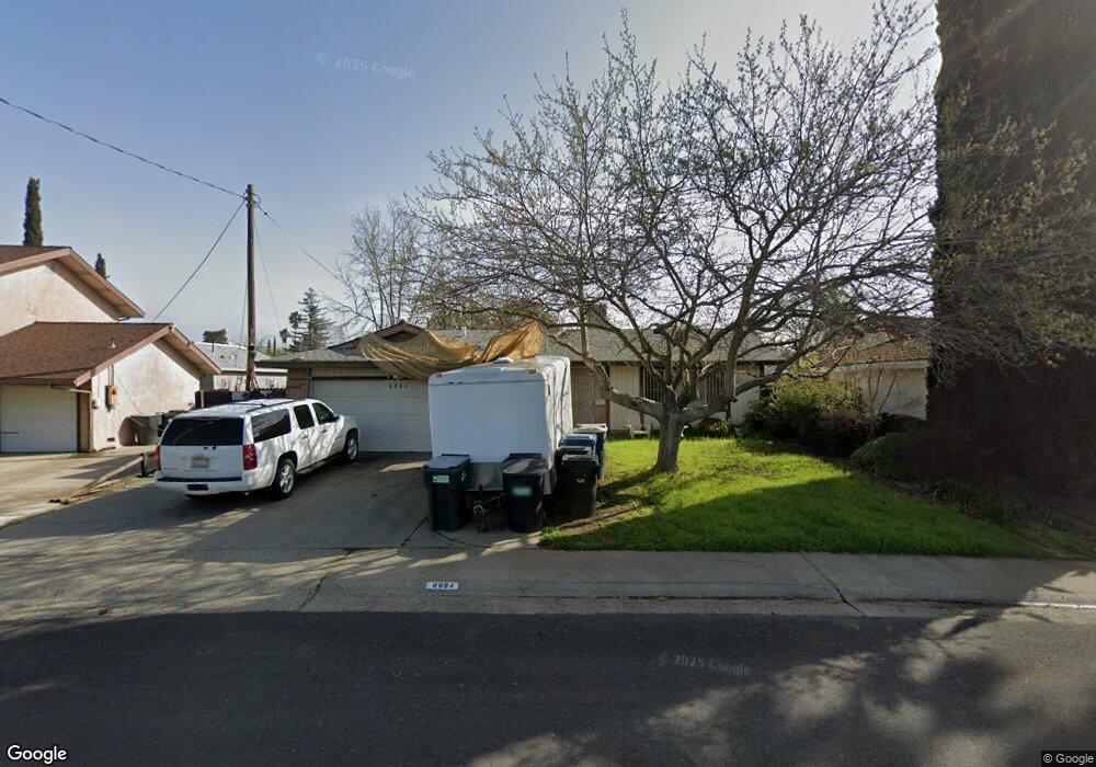
6894 Ewing Way Sacramento, CA 95828
Estimated Value: $345,000 - $442,000
3
Beds
2
Baths
1,480
Sq Ft
$271/Sq Ft
Est. Value
About This Home
This home is located at 6894 Ewing Way, Sacramento, CA 95828 and is currently estimated at $400,753, approximately $270 per square foot. 6894 Ewing Way is a home located in Sacramento County with nearby schools including David Reese Elementary School, James Rutter Middle School, and Florin High School.
Ownership History
Date
Name
Owned For
Owner Type
Purchase Details
Closed on
Mar 4, 1997
Sold by
Wilson Charles J and Wilson Katsuko
Bought by
Perez David V and Perez Daniel Wendy
Current Estimated Value
Home Financials for this Owner
Home Financials are based on the most recent Mortgage that was taken out on this home.
Original Mortgage
$92,014
Interest Rate
7.81%
Mortgage Type
FHA
Purchase Details
Closed on
Nov 23, 1994
Sold by
Wilson Charles J and Wilson Katsuko
Bought by
Wilson Charles J and Wilson Katsuko
Create a Home Valuation Report for This Property
The Home Valuation Report is an in-depth analysis detailing your home's value as well as a comparison with similar homes in the area
Home Values in the Area
Average Home Value in this Area
Purchase History
| Date | Buyer | Sale Price | Title Company |
|---|---|---|---|
| Perez David V | $92,000 | Golden California Title Co | |
| Wilson Charles J | -- | -- |
Source: Public Records
Mortgage History
| Date | Status | Borrower | Loan Amount |
|---|---|---|---|
| Previous Owner | Perez David V | $92,014 |
Source: Public Records
Tax History
| Year | Tax Paid | Tax Assessment Tax Assessment Total Assessment is a certain percentage of the fair market value that is determined by local assessors to be the total taxable value of land and additions on the property. | Land | Improvement |
|---|---|---|---|---|
| 2025 | $1,709 | $149,812 | $35,817 | $113,995 |
| 2024 | $1,709 | $146,875 | $35,115 | $111,760 |
| 2023 | $1,668 | $143,996 | $34,427 | $109,569 |
| 2022 | $1,640 | $141,173 | $33,752 | $107,421 |
| 2021 | $1,623 | $138,406 | $33,091 | $105,315 |
| 2020 | $1,601 | $136,988 | $32,752 | $104,236 |
| 2019 | $1,573 | $134,303 | $32,110 | $102,193 |
| 2018 | $1,532 | $131,671 | $31,481 | $100,190 |
| 2017 | $1,507 | $129,090 | $30,864 | $98,226 |
| 2016 | $1,423 | $126,559 | $30,259 | $96,300 |
| 2015 | $1,397 | $124,659 | $29,805 | $94,854 |
| 2014 | $1,375 | $122,218 | $29,222 | $92,996 |
Source: Public Records
Map
Nearby Homes
- 7548 Lindale Dr
- 6947 Wolfgram Way
- 7320 Sahara Ct
- 7702 Loucreta Dr
- 7241 Stockton Blvd
- 7421 Palmer House Dr
- 6435 Orange Ave Unit 13C
- 6435 Orange Ave Unit A8
- 7431 Citrus Ave
- 6400 66th Ave Unit 11
- 6400 66th Ave Unit 72
- 6400 66th Ave Unit 14
- 7450 Della Cir
- 7821 Scottsdale Dr
- 7808 Camrose Way
- 7557 Hazelnut Ln
- 7552 Red Bud Ln
- 7551 Red Bud Ln
- 7545 Huckleberry Ln Unit 64
- 6924 Peck Dr
- 6898 Ewing Way
- 6890 Ewing Way
- 6936 Sandrock Way
- 7540 Lindale Dr
- 6932 Sandrock Way
- 6895 Ewing Way
- 6891 Ewing Way
- 7544 Lindale Dr
- 6899 Ewing Way
- 6880 Ewing Way
- 6921 Sandrock Way
- 6885 Ewing Way
- 6928 Sandrock Way
- 7529 Lindale Dr
- 7533 Lindale Dr
- 7525 Lindale Dr
- 7537 Lindale Dr
- 6879 Ewing Way
- 7521 Lindale Dr
- 6924 Sandrock Way
Your Personal Tour Guide
Ask me questions while you tour the home.