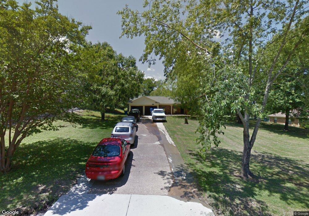
6895 Meadowbrook Ln Olive Branch, MS 38654
Pleasant Hill NeighborhoodEstimated Value: $247,597 - $293,000
3
Beds
--
Bath
2,004
Sq Ft
$137/Sq Ft
Est. Value
About This Home
This home is located at 6895 Meadowbrook Ln, Olive Branch, MS 38654 and is currently estimated at $273,649, approximately $136 per square foot. 6895 Meadowbrook Ln is a home located in DeSoto County with nearby schools including Pleasant Hill Elementary School, DeSoto Central Middle School, and DeSoto Central High School.
Ownership History
Date
Name
Owned For
Owner Type
Purchase Details
Closed on
May 11, 2016
Sold by
Philley David and Philley Lori
Bought by
Grayrock Properties Llc
Current Estimated Value
Purchase Details
Closed on
Feb 14, 2008
Sold by
Wilson Charles R and Wilson Janelle M
Bought by
Philley David and Philley Lori
Home Financials for this Owner
Home Financials are based on the most recent Mortgage that was taken out on this home.
Original Mortgage
$86,250
Interest Rate
6.06%
Mortgage Type
Purchase Money Mortgage
Create a Home Valuation Report for This Property
The Home Valuation Report is an in-depth analysis detailing your home's value as well as a comparison with similar homes in the area
Home Values in the Area
Average Home Value in this Area
Purchase History
| Date | Buyer | Sale Price | Title Company |
|---|---|---|---|
| Grayrock Properties Llc | -- | None Available | |
| Philley David | -- | Realty Title & Escrow |
Source: Public Records
Mortgage History
| Date | Status | Borrower | Loan Amount |
|---|---|---|---|
| Previous Owner | Philley David | $86,250 |
Source: Public Records
Tax History
| Year | Tax Paid | Tax Assessment Tax Assessment Total Assessment is a certain percentage of the fair market value that is determined by local assessors to be the total taxable value of land and additions on the property. | Land | Improvement |
|---|---|---|---|---|
| 2025 | $2,180 | $18,828 | $2,250 | $16,578 |
| 2024 | $1,879 | $13,771 | $2,250 | $11,521 |
| 2023 | $1,879 | $13,771 | $0 | $0 |
| 2022 | $1,879 | $13,771 | $2,250 | $11,521 |
| 2021 | $1,879 | $13,771 | $2,250 | $11,521 |
| 2020 | $1,754 | $12,851 | $2,250 | $10,601 |
| 2019 | $1,754 | $12,851 | $2,250 | $10,601 |
| 2017 | $1,708 | $22,648 | $12,449 | $10,199 |
| 2016 | $1,708 | $12,308 | $2,250 | $10,058 |
| 2015 | $1,689 | $22,366 | $12,308 | $10,058 |
| 2014 | $1,689 | $12,308 | $0 | $0 |
| 2013 | $1,652 | $12,308 | $0 | $0 |
Source: Public Records
Map
Nearby Homes
- 4845 Stone Cross Dr
- 4773 Stone Cross Dr
- 5192 Wedgewood Dr
- 5465 Goodman Rd
- 4597 Graham Lake Dr
- 5045 Saint Andrews Cove
- 6459 Carson Dr
- 5035 Saint Andrews Cove
- 4570 Stone Park Blvd
- 7278 Stone Ridge Dr
- 4472 Stone Cross Dr
- 4721 Pleasant Breeze Dr
- 6705 Player Dr
- 7294 Wind Dr
- 7291 Wind Dr
- 4565 Pleasant Breeze Dr
- 6570 Masters Dr
- 6650 Player Dr
- 7199 Terrace Stone Dr
- 4985 Bobo Place
- 6895 Meadow Brook Dr
- 6871 Meadowbrook Ln
- 6935 Meadowbrook Ln
- 6870 Meadowbrook Dr
- 6843 Meadowbrook Ln
- 6900 Meadowbrook Ln
- 4815 Goodman Rd
- 6872 Meadowbrook Ln
- 4835 Goodman Rd
- 6844 Meadow Brook Dr
- 6844 Meadowbrook Ln
- 6815 Meadow Brook Dr
- 6815 Meadowbrook Ln
- 6814 Meadowbrook Ln
- 4805 Highway 302
- 4849 Highway 302
- 4823 Highway 302
- 6901 Pleasant Hill Rd
- 6863 Pleasant Hill Rd
- 6789 Meadowbrook Ln
Your Personal Tour Guide
Ask me questions while you tour the home.