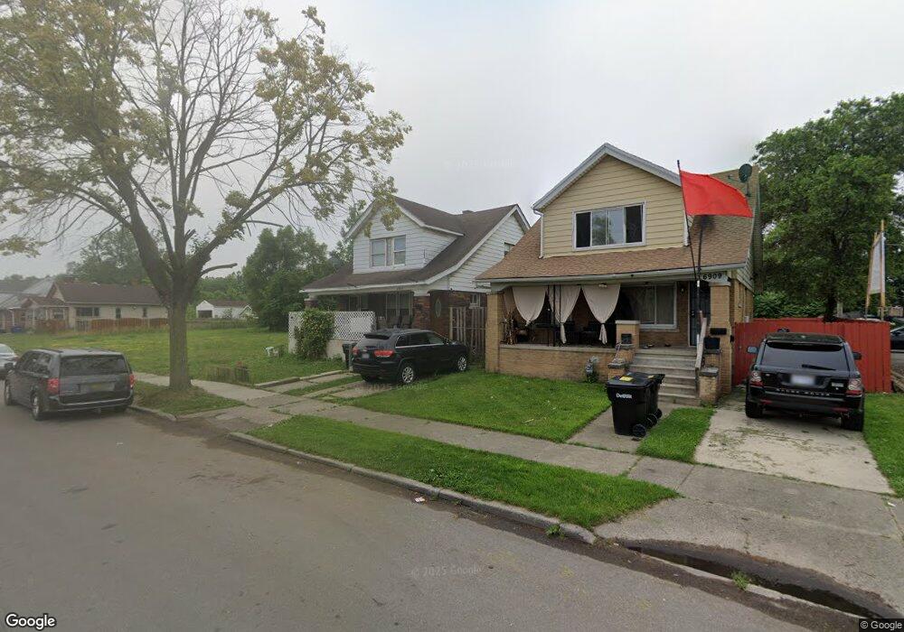
6897 Rutherford St Detroit, MI 48228
Warren Avenue Community NeighborhoodEstimated Value: $76,000 - $187,651
--
Bed
1
Bath
1,369
Sq Ft
$91/Sq Ft
Est. Value
About This Home
This home is located at 6897 Rutherford St, Detroit, MI 48228 and is currently estimated at $124,663, approximately $91 per square foot. 6897 Rutherford St is a home located in Wayne County with nearby schools including Gardner Elementary School, Charles L. Spain Elementary-Middle School, and Edward 'Duke' Ellington Conservatory of Music and Art.
Ownership History
Date
Name
Owned For
Owner Type
Purchase Details
Closed on
Jul 22, 2021
Sold by
Detroit Land Bank Authority
Bought by
Wilks Stephanie
Current Estimated Value
Purchase Details
Closed on
Oct 26, 2017
Sold by
The State Of Michigan
Bought by
The Detroit Land Bank Authority
Purchase Details
Closed on
Oct 5, 2012
Sold by
Wayne County Treasurer
Bought by
Michigan Land Bank Fast Track Auth
Purchase Details
Closed on
Oct 7, 2003
Sold by
Ayoub Ali M
Bought by
Al Muhana Salih N
Create a Home Valuation Report for This Property
The Home Valuation Report is an in-depth analysis detailing your home's value as well as a comparison with similar homes in the area
Home Values in the Area
Average Home Value in this Area
Purchase History
| Date | Buyer | Sale Price | Title Company |
|---|---|---|---|
| Wilks Stephanie | -- | None Available | |
| The Detroit Land Bank Authority | -- | None Available | |
| Michigan Land Bank Fast Track Auth | -- | None Available | |
| Al Muhana Salih N | $139,000 | Stewart Title |
Source: Public Records
Tax History Compared to Growth
Tax History
| Year | Tax Paid | Tax Assessment Tax Assessment Total Assessment is a certain percentage of the fair market value that is determined by local assessors to be the total taxable value of land and additions on the property. | Land | Improvement |
|---|---|---|---|---|
| 2025 | $30 | $1,300 | $0 | $0 |
| 2024 | $30 | $400 | $0 | $0 |
| 2023 | $31 | $400 | $0 | $0 |
| 2022 | $0 | $0 | $0 | $0 |
| 2021 | $0 | $0 | $0 | $0 |
| 2020 | $3,036 | $0 | $0 | $0 |
| 2019 | $3,036 | $0 | $0 | $0 |
| 2018 | $0 | $400 | $0 | $0 |
| 2017 | $7 | $400 | $0 | $0 |
| 2016 | $62 | $700 | $0 | $0 |
| 2015 | $70 | $700 | $0 | $0 |
| 2013 | $73 | $729 | $0 | $0 |
| 2010 | -- | $44,416 | $760 | $43,656 |
Source: Public Records
Map
Nearby Homes
- 7337 Saint Marys St
- 6578 Montrose St
- 7415 Mettetal St
- 6857 Woodmont Ave
- 6934 Coleman St
- 7019 Barrie St
- 7410 Barrie St
- 6320 Saint Marys St
- 7115 Payne Ave
- 7309 Payne Ave
- 7519 Barrie St
- 7776 Mettetal St
- 6404 Yinger Ave
- 6345 Woodmont Ave
- 7768 Asbury Park
- 6932 Mead St
- 6344 Grandmont Ave
- 7420 Memorial Ave
- 7115 Steadman St
- 7801 Coleman St
- 6903 Rutherford St
- 6891 Rutherford St
- 6885 Rutherford St
- 6909 Rutherford St
- 6877 Rutherford St
- 6915 Rutherford St
- 6871 Rutherford St
- 6900 Mansfield St
- 6906 Mansfield St
- 6892 Mansfield St
- 6884 Mansfield St
- 6912 Mansfield St
- 6878 Mansfield St
- 0 Rutherford St Unit 218028322
- 0 Rutherford St Unit 216049237
- 6906 Rutherford St
- 6890 Rutherford St
- 6920 Mansfield St
- 16011 W Warren Ave
- 16021 W Warren Ave