6899 Taylor Rd New Franklin, OH 44216
Estimated Value: $338,000 - $419,000
3
Beds
3
Baths
1,416
Sq Ft
$269/Sq Ft
Est. Value
About This Home
This home is located at 6899 Taylor Rd, New Franklin, OH 44216 and is currently estimated at $381,260, approximately $269 per square foot. 6899 Taylor Rd is a home located in Summit County with nearby schools including Northwest Primary School, W.S. Stinson Elementary School, and Northwest Middle School.
Ownership History
Date
Name
Owned For
Owner Type
Purchase Details
Closed on
Mar 6, 2006
Sold by
Ravndal Seth C
Bought by
Berlin Kenneth M and Berlin Barbara J
Current Estimated Value
Home Financials for this Owner
Home Financials are based on the most recent Mortgage that was taken out on this home.
Original Mortgage
$157,000
Outstanding Balance
$6,736
Interest Rate
6.2%
Mortgage Type
Purchase Money Mortgage
Estimated Equity
$374,524
Purchase Details
Closed on
Dec 11, 1998
Sold by
Smith Anna M
Bought by
Ravndal Seth C
Home Financials for this Owner
Home Financials are based on the most recent Mortgage that was taken out on this home.
Original Mortgage
$128,000
Interest Rate
6.96%
Create a Home Valuation Report for This Property
The Home Valuation Report is an in-depth analysis detailing your home's value as well as a comparison with similar homes in the area
Home Values in the Area
Average Home Value in this Area
Purchase History
| Date | Buyer | Sale Price | Title Company |
|---|---|---|---|
| Berlin Kenneth M | $209,000 | Approved Statewide Title Age | |
| Ravndal Seth C | $135,000 | Northeast Title Agency Inc |
Source: Public Records
Mortgage History
| Date | Status | Borrower | Loan Amount |
|---|---|---|---|
| Open | Berlin Kenneth M | $157,000 | |
| Closed | Ravndal Seth C | $128,000 |
Source: Public Records
Tax History Compared to Growth
Tax History
| Year | Tax Paid | Tax Assessment Tax Assessment Total Assessment is a certain percentage of the fair market value that is determined by local assessors to be the total taxable value of land and additions on the property. | Land | Improvement |
|---|---|---|---|---|
| 2025 | $4,057 | $91,715 | $23,027 | $68,688 |
| 2024 | $4,057 | $91,715 | $23,027 | $68,688 |
| 2023 | $4,057 | $91,715 | $23,027 | $68,688 |
| 2022 | $3,348 | $68,692 | $17,056 | $51,636 |
| 2021 | $3,356 | $68,692 | $17,056 | $51,636 |
| 2020 | $3,253 | $66,460 | $17,060 | $49,400 |
| 2019 | $3,196 | $63,020 | $20,160 | $42,860 |
| 2018 | $3,194 | $63,020 | $20,160 | $42,860 |
| 2017 | $3,134 | $63,020 | $20,160 | $42,860 |
| 2016 | $3,084 | $57,330 | $20,160 | $37,170 |
| 2015 | $3,134 | $57,330 | $20,160 | $37,170 |
| 2014 | $3,272 | $57,330 | $20,160 | $37,170 |
| 2013 | $3,358 | $58,880 | $20,160 | $38,720 |
Source: Public Records
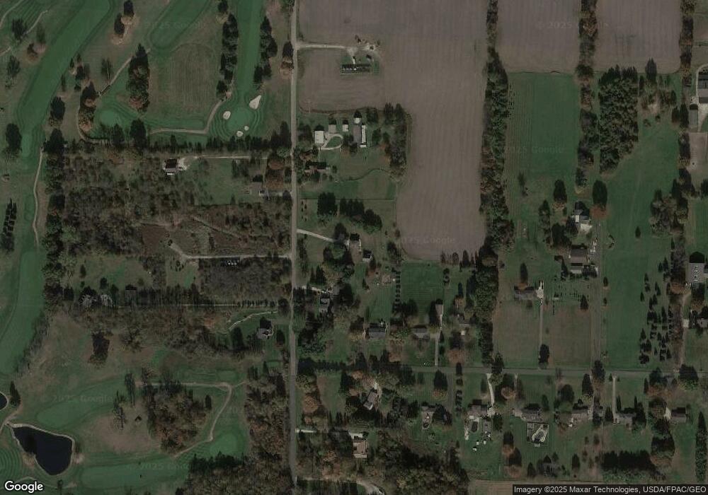
Map
Nearby Homes
- 11465 Clinton Rd
- 0 S Cleveland Massillon Rd Unit 5126434
- 7395 S Cleveland Massillon Rd
- 18592 Edwards Rd Unit 156
- 18592 Edwards Rd Unit 126
- 7805 2nd St
- 13841 Hametown Rd
- 3241 Grill Rd
- 0 Grill Rd
- 3384 Lullaby Ln
- 11626 Black Diamond Rd
- 18047 Racine Rd
- 6163 N Oval Rd
- 8177 S Cleveland Massillon Rd Unit 42
- 100 Merlot Ct
- 605 Vineyard Way
- 16441 Bieri Rd
- 2200 W Comet Rd
- 8896 Indian Hills Cir NW
- 15081 Oak Grove Dr
- 6935 Taylor
- 6935 Taylor Rd
- 6950 Taylor Rd
- 6880 Taylor Rd
- 6880 Taylor Rd
- 3091 Serfass Rd
- 6960 Taylor Rd
- 6883 Taylor Rd
- 3071 Serfass Rd
- 6955 Taylor Rd
- 3039 Serfass Rd
- 3090 Serfass Rd
- 6979 Taylor Rd
- 3068 Serfass Rd
- 3046 Serfass Rd
- 7021 Taylor Rd
- 3026 Serfass Rd
- 6767 Taylor Rd
- 3000 Serfass Rd
- 7054 Taylor Rd