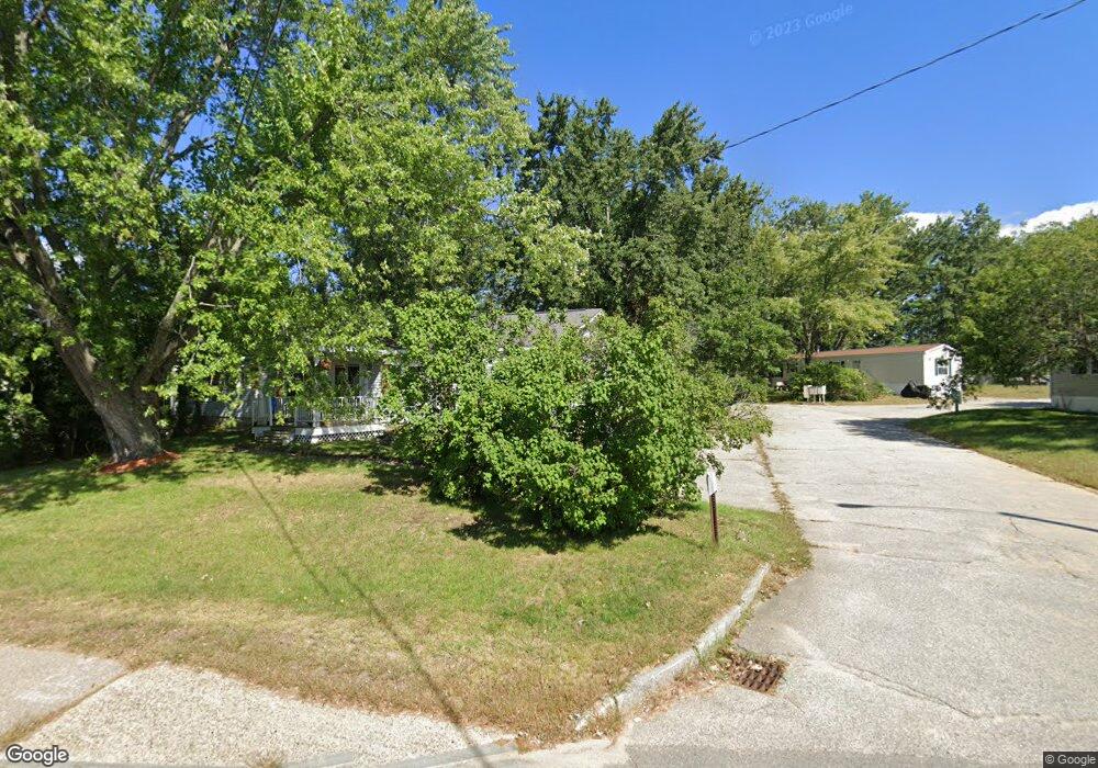
69-71 Manchester St Concord, NH 03301
Concord Heights Neighborhood
--
Bed
--
Bath
--
Sq Ft
3
Acres
About This Home
This home is located at 69-71 Manchester St, Concord, NH 03301. 69-71 Manchester St is a home located in Merrimack County with nearby schools including Broken Ground School, Rundlett Middle School, and Concord High School.
Ownership History
Date
Name
Owned For
Owner Type
Purchase Details
Closed on
Nov 19, 2012
Sold by
Hamlin Thomas E and Hamlin Heather E
Bought by
Rucker John and Rucker Carol
Purchase Details
Closed on
Mar 5, 1997
Sold by
Ricker Est Floretta G
Bought by
Hamlin Thomas E and Hamlin Heather E
Purchase Details
Closed on
Oct 29, 1996
Sold by
Breen David P
Bought by
Tattersall Gloria M
Create a Home Valuation Report for This Property
The Home Valuation Report is an in-depth analysis detailing your home's value as well as a comparison with similar homes in the area
Home Values in the Area
Average Home Value in this Area
Purchase History
| Date | Buyer | Sale Price | Title Company |
|---|---|---|---|
| Rucker John | $26,000 | -- | |
| Hamlin Thomas E | $22,500 | -- | |
| Tattersall Gloria M | $8,600 | -- |
Source: Public Records
Mortgage History
| Date | Status | Borrower | Loan Amount |
|---|---|---|---|
| Previous Owner | Tattersall Gloria M | $10,815 |
Source: Public Records
Tax History Compared to Growth
Tax History
| Year | Tax Paid | Tax Assessment Tax Assessment Total Assessment is a certain percentage of the fair market value that is determined by local assessors to be the total taxable value of land and additions on the property. | Land | Improvement |
|---|---|---|---|---|
| 2024 | $13,859 | $500,500 | $304,600 | $195,900 |
| 2023 | $13,443 | $500,500 | $304,600 | $195,900 |
| 2022 | $12,958 | $500,500 | $304,600 | $195,900 |
| 2021 | $12,573 | $500,500 | $304,600 | $195,900 |
| 2020 | $13,321 | $497,800 | $304,600 | $193,200 |
| 2019 | $13,601 | $489,600 | $304,600 | $185,000 |
| 2018 | $13,774 | $488,600 | $304,600 | $184,000 |
| 2017 | $13,552 | $479,900 | $298,900 | $181,000 |
| 2016 | $13,107 | $473,700 | $298,900 | $174,800 |
| 2015 | $12,754 | $466,500 | $298,900 | $167,600 |
| 2014 | $12,507 | $466,500 | $298,900 | $167,600 |
| 2013 | $11,897 | $465,100 | $298,900 | $166,200 |
| 2012 | $15,302 | $627,900 | $485,500 | $142,400 |
Source: Public Records
Map
Nearby Homes
- 5 Highridge Trail
- 78 Fairfield Dr
- 15 Bridle Path Trail
- 33 Mulberry St Unit 2
- 44 Hazel Dr
- 0 Garvins Falls Rd Unit 4 5061370
- 105 S Main St
- 6 Lawrence Street Extension
- 24 Badger St
- 33 Spruce St
- 87 S Main St Unit 2
- 0 Spruce St Unit 88
- 10 Perley St
- 14 Downing St
- 75 S State St
- 376 S Main St
- 37 Thorndike St
- 516 Hall St
- 32 Carter St
- 6 Heights Rd
- 69 Manchester St Unit Lot 1
- 69 Manchester St
- 69 Manchester St Unit 7
- 69 Manchester St Unit 14
- 69 Manchester St Unit 17
- 62 Manchester St
- 71 Manchester St
- 4 Garvins Falls Rd
- 4 Kozy Trail
- 8 Kozy Trail
- 4 Crestwood Dr
- 2 Highridge Trail
- 6 Garvins Falls Rd
- 5 Garvins Falls Rd
- 6 Highridge Trail
- 14 Kozy Trail
- 0 Pinewood Trail
- 7 Garvins Falls Rd
- 4 Pinewood Trail
- 85 Manchester St