69 Ash Ridge Trail Broken Bow, OK 74728
Estimated Value: $252,826 - $998,000
3
Beds
2
Baths
1,500
Sq Ft
$311/Sq Ft
Est. Value
About This Home
This home is located at 69 Ash Ridge Trail, Broken Bow, OK 74728 and is currently estimated at $466,707, approximately $311 per square foot. 69 Ash Ridge Trail is a home located in McCurtain County with nearby schools including Lukfata Public School.
Ownership History
Date
Name
Owned For
Owner Type
Purchase Details
Closed on
Jun 3, 2005
Sold by
Putma David E and Putman Robbin R
Bought by
Ayers Cecil Ricky and Ayers Kathy S
Current Estimated Value
Home Financials for this Owner
Home Financials are based on the most recent Mortgage that was taken out on this home.
Original Mortgage
$93,761
Interest Rate
5.78%
Mortgage Type
Purchase Money Mortgage
Purchase Details
Closed on
Apr 20, 2004
Sold by
Reed Charles L and Reed Vojai A
Bought by
Putman David E and Putman Robbin
Purchase Details
Closed on
Apr 14, 2004
Sold by
Reed Reed and Reed Jordan
Bought by
Reed Charles and Reed Vojai
Create a Home Valuation Report for This Property
The Home Valuation Report is an in-depth analysis detailing your home's value as well as a comparison with similar homes in the area
Home Values in the Area
Average Home Value in this Area
Purchase History
| Date | Buyer | Sale Price | Title Company |
|---|---|---|---|
| Ayers Cecil Ricky | $116,000 | None Available | |
| Putman David E | $15,500 | -- | |
| Reed Charles | -- | -- |
Source: Public Records
Mortgage History
| Date | Status | Borrower | Loan Amount |
|---|---|---|---|
| Closed | Ayers Cecil Ricky | $93,761 |
Source: Public Records
Tax History Compared to Growth
Tax History
| Year | Tax Paid | Tax Assessment Tax Assessment Total Assessment is a certain percentage of the fair market value that is determined by local assessors to be the total taxable value of land and additions on the property. | Land | Improvement |
|---|---|---|---|---|
| 2024 | $1,096 | $14,180 | $1,562 | $12,618 |
| 2023 | $1,126 | $14,180 | $1,562 | $12,618 |
| 2022 | $1,127 | $14,180 | $1,562 | $12,618 |
| 2021 | $1,132 | $14,180 | $1,562 | $12,618 |
| 2020 | $1,159 | $14,309 | $1,562 | $12,747 |
| 2019 | $1,168 | $14,440 | $1,562 | $12,878 |
| 2018 | $1,166 | $14,700 | $1,562 | $13,138 |
| 2017 | $1,157 | $14,462 | $1,705 | $12,757 |
| 2016 | $1,161 | $14,457 | $1,705 | $12,752 |
| 2015 | $1,127 | $14,457 | $1,705 | $12,752 |
| 2014 | $1,133 | $14,457 | $1,705 | $12,752 |
Source: Public Records
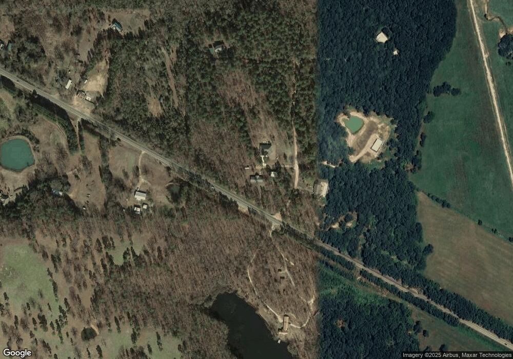
Map
Nearby Homes
- 14 Big Pines
- 16 Big Pines
- 15 Big Pines
- 2 Big Pines
- 21 Big Pines
- 1 Big Pines
- 23 Big Pines
- 511 Oak Hill Rd
- 2966 Sweet Home Rd
- 0 Harkey Place Unit 1143022
- 94 Farm Pond Rd
- 559 Poppy Rd
- 000 W State 3 Hwy
- 2690 Sweet Home Rd
- 478 Prickly Ash Ln
- 2260 Old Military Rd
- 1990 Old Military Rd
- 2312 Gardenia Rd
- 31 Wild Turkey Trail
- 1362 Timbuktu Trail
- 3 Ok-3
- 50 Ash Ridge Trail
- 0 Ash Ridge Rd Unit 927611
- 11 Ash Ridge Trail Rd
- 161 Ash Ridge Trail
- 0 Hwy 3 Tract 7
- 0 Ashridge Rd Unit 884824
- 0 Ashridge Rd Unit 884830
- 0 Ashridge Rd Unit 884584
- 0 Ashridge Rd Unit 883899
- 4534 W State Highway 3
- 0 Hwy 3 Tract 12
- 0 Hwy 3 Tract 15
- 191 Ash Ridge Trail
- 191 Ashwood Trail
- 4762 W State Highway 3
- 4743 W State Highway 3
- 4797 W State Highway 3
- 4797 W State Highway 3
- 4797 Hwy 3