69 Baxter Rd Nantucket, MA 02554
Estimated Value: $4,178,898 - $5,594,000
4
Beds
5
Baths
4,393
Sq Ft
$1,113/Sq Ft
Est. Value
About This Home
This home is located at 69 Baxter Rd, Nantucket, MA 02554 and is currently estimated at $4,890,725, approximately $1,113 per square foot. 69 Baxter Rd is a home located in Nantucket County with nearby schools including Nantucket Elementary School, Cyrus Peirce Middle School, and Nantucket High School.
Ownership History
Date
Name
Owned For
Owner Type
Purchase Details
Closed on
Jan 5, 2026
Sold by
Moscicki Richard A
Bought by
Richard A Moscicki Ret and Moscicki
Current Estimated Value
Purchase Details
Closed on
Sep 29, 2011
Sold by
Cowperthwait James B and Cowperthwait Chris H
Bought by
Moscicki Richard and Moscicki Marianne L
Purchase Details
Closed on
Mar 29, 1996
Sold by
Dickerman Marion L
Bought by
Cowperthwait James O and Cowperthwait Chris H
Create a Home Valuation Report for This Property
The Home Valuation Report is an in-depth analysis detailing your home's value as well as a comparison with similar homes in the area
Home Values in the Area
Average Home Value in this Area
Purchase History
| Date | Buyer | Sale Price | Title Company |
|---|---|---|---|
| Richard A Moscicki Ret | -- | -- | |
| Moscicki Richard | $1,680,000 | -- | |
| Moscicki Richard | $1,680,000 | -- | |
| Cowperthwait James O | $795,000 | -- | |
| Cowperthwait James O | $795,000 | -- |
Source: Public Records
Mortgage History
| Date | Status | Borrower | Loan Amount |
|---|---|---|---|
| Previous Owner | Cowperthwait James O | $500,000 | |
| Previous Owner | Cowperthwait James O | $410,000 | |
| Previous Owner | Cowperthwait James O | $500,000 |
Source: Public Records
Tax History
| Year | Tax Paid | Tax Assessment Tax Assessment Total Assessment is a certain percentage of the fair market value that is determined by local assessors to be the total taxable value of land and additions on the property. | Land | Improvement |
|---|---|---|---|---|
| 2025 | $12,008 | $3,660,848 | $253,048 | $3,407,800 |
| 2024 | $10,975 | $3,506,348 | $253,048 | $3,253,300 |
| 2023 | $8,802 | $2,742,155 | $266,855 | $2,475,300 |
| 2022 | $7,555 | $2,020,060 | $172,260 | $1,847,800 |
| 2021 | $7,333 | $2,020,100 | $172,300 | $1,847,800 |
| 2020 | $7,302 | $2,116,600 | $172,300 | $1,944,300 |
| 2019 | $7,112 | $2,116,600 | $172,300 | $1,944,300 |
| 2018 | $6,790 | $1,923,500 | $172,300 | $1,751,200 |
| 2017 | $6,137 | $1,810,300 | $107,300 | $1,703,000 |
| 2016 | $12,098 | $3,600,600 | $2,408,200 | $1,192,400 |
| 2015 | $6,053 | $1,676,700 | $686,800 | $989,900 |
| 2014 | $5,742 | $1,527,100 | $537,200 | $989,900 |
Source: Public Records
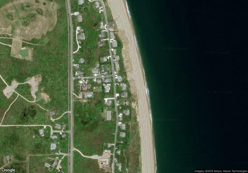
Map
Nearby Homes
- 83 Baxter Rd
- 100 Baxter Rd
- 44 Sankaty Rd
- 8 Sconset Ave
- 37 Sankaty Head Rd
- 11 Hydrangea Ln
- 318 Milestone Rd
- 47 Morey Ln
- 40 Low Beach Rd
- 31 Flintlock Rd
- 21 Quidnet Rd
- 105 Low Beach Rd
- 3 Whitetail Cir
- 27 Longwood Dr
- 5 Brier Patch Rd
- 14 Flintlock Rd
- 1 Reeds Way
- 4 Berkley St
- 12 Ipswich St
- 13 Eat Fire Spring Rd
Your Personal Tour Guide
Ask me questions while you tour the home.