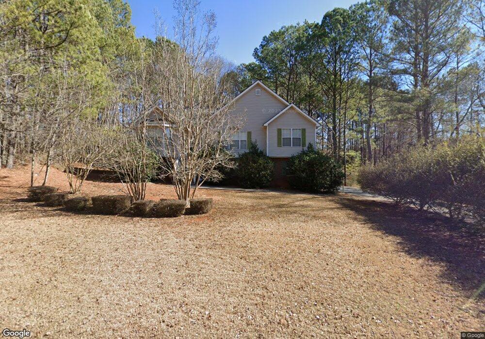
69 Bridge Trail Douglasville, GA 30134
Estimated Value: $271,167 - $322,000
3
Beds
2
Baths
1,258
Sq Ft
$229/Sq Ft
Est. Value
About This Home
This home is located at 69 Bridge Trail, Douglasville, GA 30134 and is currently estimated at $288,292, approximately $229 per square foot. 69 Bridge Trail is a home located in Paulding County with nearby schools including Connie Dugan Elementary School, Irma C. Austin Middle School, and South Paulding High School.
Ownership History
Date
Name
Owned For
Owner Type
Purchase Details
Closed on
Feb 26, 2003
Sold by
Baker Roger K and Baker Victoria L
Bought by
Camp Shantia
Current Estimated Value
Home Financials for this Owner
Home Financials are based on the most recent Mortgage that was taken out on this home.
Original Mortgage
$128,525
Outstanding Balance
$55,293
Interest Rate
5.89%
Mortgage Type
New Conventional
Estimated Equity
$232,999
Create a Home Valuation Report for This Property
The Home Valuation Report is an in-depth analysis detailing your home's value as well as a comparison with similar homes in the area
Home Values in the Area
Average Home Value in this Area
Purchase History
| Date | Buyer | Sale Price | Title Company |
|---|---|---|---|
| Camp Shantia | $128,000 | -- |
Source: Public Records
Mortgage History
| Date | Status | Borrower | Loan Amount |
|---|---|---|---|
| Open | Camp Shantia | $128,525 |
Source: Public Records
Tax History Compared to Growth
Tax History
| Year | Tax Paid | Tax Assessment Tax Assessment Total Assessment is a certain percentage of the fair market value that is determined by local assessors to be the total taxable value of land and additions on the property. | Land | Improvement |
|---|---|---|---|---|
| 2024 | $2,504 | $103,884 | $12,000 | $91,884 |
| 2023 | $3,081 | $120,712 | $12,000 | $108,712 |
| 2022 | $2,498 | $97,688 | $12,000 | $85,688 |
| 2021 | $1,885 | $66,744 | $8,000 | $58,744 |
| 2020 | $1,882 | $65,212 | $8,000 | $57,212 |
| 2019 | $1,661 | $56,968 | $8,000 | $48,968 |
| 2018 | $1,557 | $53,528 | $8,000 | $45,528 |
| 2017 | $1,412 | $48,096 | $8,000 | $40,096 |
| 2016 | $1,345 | $46,360 | $8,000 | $38,360 |
| 2015 | $1,378 | $46,640 | $8,000 | $38,640 |
| 2014 | $716 | $24,544 | $8,000 | $16,544 |
| 2013 | -- | $21,720 | $8,000 | $13,720 |
Source: Public Records
Map
Nearby Homes
- 23 Bomar Ln
- 42 Crystal Springs Dr
- 976 Bakers Bridge Rd
- 239 Clear Brook Trail
- 1150 Denton Rd Unit 371
- 1150 Denton Rd
- 1050 Denton Rd
- 269 Shelby Ln
- 1305 Denton Rd
- 1462 Senator Rd
- 624 Silverthorne Cir
- 43 Oak Landing Cir
- 136 Bridgestone Ln
- 554 Oak Landing Cir
- 1267 Austin Bridge Rd
- 27 Waterbury Way
- 4 Kings Walk
- 67 Bridge Dr
- 0 Bridge Dr Unit 3235284
- 0 Bridge Dr Unit 3255211
- 0 Bridge Dr
- 74 Bridge Dr
- 674 Bakers Bridge Rd
- 43 Bridge Dr
- 676 Bakers Bridge Rd
- 66 Bridge Dr
- 60 Bridge Dr
- 38 Bridge Dr
- 0 New Path
- 00 New Path
- 0 New Path Unit 8027273
- 0 New Path Unit 8705303
- 523 Bakers Bridge Cir
- 547 Bakers Bridge Cir
- 14 Bridge Dr
- 503 Bakers Bridge Cir
- 44 Bakers Bridge Cir