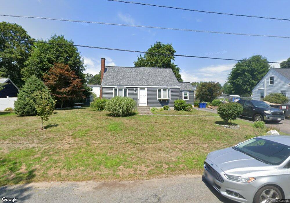
69 Broad St Walpole, MA 02081
Estimated Value: $627,000 - $699,000
3
Beds
2
Baths
1,464
Sq Ft
$455/Sq Ft
Est. Value
About This Home
This home is located at 69 Broad St, Walpole, MA 02081 and is currently estimated at $666,610, approximately $455 per square foot. 69 Broad St is a home located in Norfolk County with nearby schools including Elm Street School, Eleanor N. Johnson Middle School, and Walpole High School.
Ownership History
Date
Name
Owned For
Owner Type
Purchase Details
Closed on
Jul 15, 2005
Sold by
Murray Anne and Murray Mark C
Bought by
Russo Kristin M and Russo Thomas A
Current Estimated Value
Home Financials for this Owner
Home Financials are based on the most recent Mortgage that was taken out on this home.
Original Mortgage
$308,000
Outstanding Balance
$160,884
Interest Rate
5.67%
Mortgage Type
Purchase Money Mortgage
Estimated Equity
$505,726
Purchase Details
Closed on
Aug 28, 1992
Sold by
Kelley Anne L
Bought by
Murray Mark C and Murray Anne
Home Financials for this Owner
Home Financials are based on the most recent Mortgage that was taken out on this home.
Original Mortgage
$137,700
Interest Rate
8.09%
Mortgage Type
Purchase Money Mortgage
Purchase Details
Closed on
May 13, 1988
Sold by
Ricci Dennis N
Bought by
Egan Anne L
Home Financials for this Owner
Home Financials are based on the most recent Mortgage that was taken out on this home.
Original Mortgage
$100,000
Interest Rate
10.02%
Mortgage Type
Purchase Money Mortgage
Create a Home Valuation Report for This Property
The Home Valuation Report is an in-depth analysis detailing your home's value as well as a comparison with similar homes in the area
Home Values in the Area
Average Home Value in this Area
Purchase History
| Date | Buyer | Sale Price | Title Company |
|---|---|---|---|
| Russo Kristin M | $385,000 | -- | |
| Murray Mark C | $153,000 | -- | |
| Egan Anne L | $151,000 | -- |
Source: Public Records
Mortgage History
| Date | Status | Borrower | Loan Amount |
|---|---|---|---|
| Open | Russo Kristin M | $308,000 | |
| Previous Owner | Egan Anne L | $129,111 | |
| Previous Owner | Egan Anne L | $137,700 | |
| Previous Owner | Egan Anne L | $100,000 | |
| Previous Owner | Egan Anne L | $45,000 |
Source: Public Records
Tax History Compared to Growth
Tax History
| Year | Tax Paid | Tax Assessment Tax Assessment Total Assessment is a certain percentage of the fair market value that is determined by local assessors to be the total taxable value of land and additions on the property. | Land | Improvement |
|---|---|---|---|---|
| 2025 | $6,815 | $531,200 | $316,100 | $215,100 |
| 2024 | $6,636 | $502,000 | $303,900 | $198,100 |
| 2023 | $6,466 | $465,500 | $264,300 | $201,200 |
| 2022 | $6,119 | $423,200 | $244,800 | $178,400 |
| 2021 | $5,776 | $389,200 | $230,900 | $158,300 |
| 2020 | $5,776 | $385,300 | $217,800 | $167,500 |
| 2019 | $5,585 | $369,900 | $209,400 | $160,500 |
| 2018 | $5,149 | $337,200 | $201,400 | $135,800 |
| 2017 | $5,013 | $327,000 | $193,700 | $133,300 |
| 2016 | $4,895 | $314,600 | $186,200 | $128,400 |
| 2015 | $4,719 | $300,600 | $177,100 | $123,500 |
| 2014 | $4,563 | $289,500 | $177,100 | $112,400 |
Source: Public Records
Map
Nearby Homes
- 1391 Main St Unit 208
- 1391 Main St Unit 204
- 1391 Main St Unit 304
- 11 Crane Rd
- 127 Clear Pond Dr
- 16 Magpie Cir Unit 16
- 145 South St Unit 145
- 24 Pelican Dr
- 158 Clear Pond Dr Unit 158
- 96 Spring St
- 782 West St Unit 2
- 7 Carl Rd
- 0 Charles St
- 1165 Washington St
- 17 Charles St
- 195 Lincoln Rd
- 465 Lincoln Rd
- 224 School St Unit 10
- 32 Irving Dr
- 69 Morningside Dr