69 Edith Ln Belmont, NH 03220
Estimated Value: $687,000 - $896,000
3
Beds
2
Baths
2,877
Sq Ft
$275/Sq Ft
Est. Value
About This Home
This home is located at 69 Edith Ln, Belmont, NH 03220 and is currently estimated at $789,936, approximately $274 per square foot. 69 Edith Ln is a home with nearby schools including Belmont Elementary School, Belmont Middle School, and Belmont High School.
Ownership History
Date
Name
Owned For
Owner Type
Purchase Details
Closed on
Aug 20, 2021
Sold by
Anstey John F
Bought by
Anstey John F and Auger Kristen J
Current Estimated Value
Home Financials for this Owner
Home Financials are based on the most recent Mortgage that was taken out on this home.
Original Mortgage
$256,135
Outstanding Balance
$232,201
Interest Rate
2.7%
Mortgage Type
Stand Alone Refi Refinance Of Original Loan
Estimated Equity
$557,735
Purchase Details
Closed on
Mar 19, 2002
Sold by
Mt Kearsarge Indian
Bought by
Anstey John F
Create a Home Valuation Report for This Property
The Home Valuation Report is an in-depth analysis detailing your home's value as well as a comparison with similar homes in the area
Home Values in the Area
Average Home Value in this Area
Purchase History
| Date | Buyer | Sale Price | Title Company |
|---|---|---|---|
| Anstey John F | -- | None Available | |
| Anstey John F | -- | None Available | |
| Anstey John F | $7,500 | -- |
Source: Public Records
Mortgage History
| Date | Status | Borrower | Loan Amount |
|---|---|---|---|
| Open | Anstey John F | $256,135 |
Source: Public Records
Tax History Compared to Growth
Tax History
| Year | Tax Paid | Tax Assessment Tax Assessment Total Assessment is a certain percentage of the fair market value that is determined by local assessors to be the total taxable value of land and additions on the property. | Land | Improvement |
|---|---|---|---|---|
| 2024 | $11,324 | $719,459 | $88,459 | $631,000 |
| 2023 | $11,707 | $670,103 | $67,003 | $603,100 |
| 2022 | $10,560 | $552,567 | $59,067 | $493,500 |
| 2021 | $9,756 | $365,816 | $42,516 | $323,300 |
| 2020 | $9,272 | $365,909 | $42,609 | $323,300 |
| 2019 | $9,154 | $366,001 | $42,701 | $323,300 |
| 2017 | $8,277 | $314,540 | $40,840 | $273,700 |
| 2016 | $3,497 | $121,287 | $40,987 | $80,300 |
| 2015 | $147 | $5,209 | $4,309 | $900 |
| 2014 | $144 | $5,209 | $4,309 | $900 |
| 2013 | $194 | $8,648 | $7,548 | $1,100 |
Source: Public Records
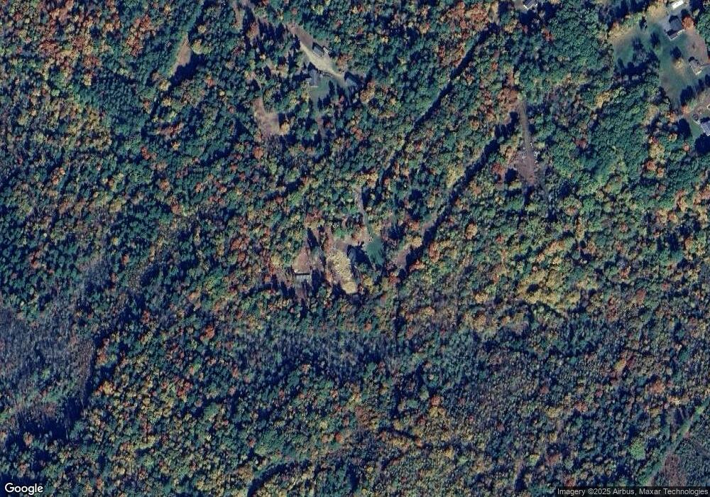
Map
Nearby Homes
- 18 Highcrest Dr
- 11 Valley Dr
- 11 Highcrest Dr
- 73 Seavey Rd
- 42 Horne Rd
- 66 Bean Hill Rd
- 5 Tee Dee Dr
- 0 Horne Rd Unit 5054405
- 357 Hurricane Rd
- 134 Leavitt Rd
- 218 Wild Acres Rd
- 32 Mallards Landing Rd
- 2 3rd St
- 82 Plummer Hill Rd
- 8 Nancy Dr
- 46 Horseshoe Dr
- 6 Sunshine Dr
- 26 Juniper Dr
- 78 Granite Ridge Dr
- 17 Granite Ridge Dr
- 41 Christy Ln
- Lot 15 Edith Ln
- 0 Edith Ln Unit 4757732
- 0 Edith Ln
- 59 Christy Ln
- 21 Edith Ln
- 22 Edith Ln
- 31 Christy Ln
- 107 Lamprey Rd
- 79 Lamprey Rd
- 187 Dutile Rd
- 16 Edith Ln
- 87 Lamprey Rd
- 29 Baron Dr
- 28 Christy Ln
- 113 Lamprey Rd
- 101 Lamprey Rd
- 0 Gerrish Forest Pond Rd Unit R 13 001
- 32 Baron Dr
- 117 Lamprey Rd