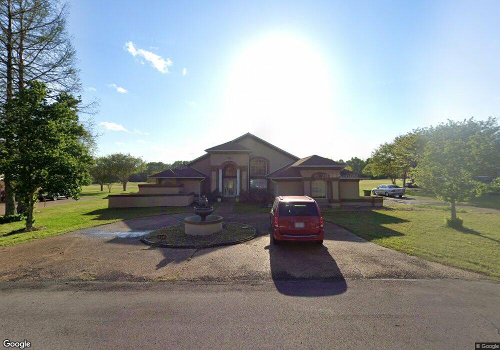
69 Elm Cove Columbus, MS 39701
Estimated Value: $357,000 - $466,000
Studio
1
Bath
2,849
Sq Ft
$148/Sq Ft
Est. Value
About This Home
This home is located at 69 Elm Cove, Columbus, MS 39701 and is currently estimated at $420,566, approximately $147 per square foot. 69 Elm Cove is a home.
Ownership History
Date
Name
Owned For
Owner Type
Purchase Details
Closed on
Jul 19, 2016
Sold by
Pilnock Michael and Pilnock Betty S
Bought by
Veasley Kristin B and Veasley Kenita J
Current Estimated Value
Home Financials for this Owner
Home Financials are based on the most recent Mortgage that was taken out on this home.
Original Mortgage
$255,290
Outstanding Balance
$201,037
Interest Rate
3.25%
Mortgage Type
FHA
Estimated Equity
$219,529
Purchase Details
Closed on
Oct 31, 2007
Sold by
Pruett Clovis M
Bought by
Pilnock Micheal and Pilnock Betty S
Create a Home Valuation Report for This Property
The Home Valuation Report is an in-depth analysis detailing your home's value as well as a comparison with similar homes in the area
Purchase History
| Date | Buyer | Sale Price | Title Company |
|---|---|---|---|
| Veasley Kristin B | -- | None Available | |
| Pilnock Micheal | -- | -- |
Source: Public Records
Mortgage History
| Date | Status | Borrower | Loan Amount |
|---|---|---|---|
| Open | Veasley Kristin B | $255,290 |
Source: Public Records
Tax History
| Year | Tax Paid | Tax Assessment Tax Assessment Total Assessment is a certain percentage of the fair market value that is determined by local assessors to be the total taxable value of land and additions on the property. | Land | Improvement |
|---|---|---|---|---|
| 2025 | $2,051 | $24,443 | $0 | $0 |
| 2024 | $2,031 | $24,443 | $0 | $0 |
| 2023 | $1,738 | $21,458 | $0 | $0 |
| 2022 | $1,740 | $21,458 | $0 | $0 |
| 2021 | $1,663 | $21,458 | $0 | $0 |
| 2020 | $1,553 | $21,458 | $0 | $0 |
| 2019 | $1,614 | $21,321 | $0 | $0 |
| 2018 | $1,614 | $21,485 | $0 | $0 |
| 2017 | $1,528 | $21,485 | $0 | $0 |
| 2016 | $1,528 | $21,485 | $0 | $0 |
| 2015 | $1,573 | $22,013 | $0 | $0 |
| 2014 | $1,573 | $22,013 | $0 | $0 |
Source: Public Records
Map
Nearby Homes
- 49 Billy Casper Dr
- 150 Stoneridge Walk
- 320 Crosby Ln
- 30 Prairie Waters Dr
- 118 Crosby Ln
- 23 Breezeway Cove
- 1291 S Frontage Rd
- 100 Breezeway Cove
- 112 Breezeway Cove
- 96 Breezeway Cove
- 110 Breezeway Cove
- 0 Golden Horn Rd
- 820 Prairie Waters Dr
- 0 S Frontage Road Lot #5 Unit 25-583
- 0 S Frontage Road Lot #3 Unit 25-581
- 0 S Frontage Road Lot #1 Unit 25-579
- 1381 S Frontage Rd
- 3267 Old West Point Rd
- 2 S Frontage Rd
- 4 S Frontage Rd
Your Personal Tour Guide
Ask me questions while you tour the home.