69 Emerson Dr Center Barnstead, NH 03225
Estimated Value: $306,000 - $321,703
3
Beds
1
Bath
923
Sq Ft
$339/Sq Ft
Est. Value
About This Home
This home is located at 69 Emerson Dr, Center Barnstead, NH 03225 and is currently estimated at $312,926, approximately $339 per square foot. 69 Emerson Dr is a home with nearby schools including Barnstead Elementary School and Prospect Mountain High School.
Ownership History
Date
Name
Owned For
Owner Type
Purchase Details
Closed on
Jun 15, 2006
Sold by
Mortgage Guaranty Ins
Bought by
Denish Jo Ellen and Denish Lawrence L
Current Estimated Value
Home Financials for this Owner
Home Financials are based on the most recent Mortgage that was taken out on this home.
Original Mortgage
$40,000
Interest Rate
6.62%
Mortgage Type
Purchase Money Mortgage
Purchase Details
Closed on
Nov 14, 2005
Sold by
George Donna
Bought by
Federal National Mortgage Association
Purchase Details
Closed on
Dec 22, 2004
Sold by
Wade Harry B and Wade Cynthia A
Bought by
George Donna
Home Financials for this Owner
Home Financials are based on the most recent Mortgage that was taken out on this home.
Original Mortgage
$160,300
Interest Rate
5.74%
Mortgage Type
Purchase Money Mortgage
Create a Home Valuation Report for This Property
The Home Valuation Report is an in-depth analysis detailing your home's value as well as a comparison with similar homes in the area
Home Values in the Area
Average Home Value in this Area
Purchase History
| Date | Buyer | Sale Price | Title Company |
|---|---|---|---|
| Denish Jo Ellen | $145,600 | -- | |
| Federal National Mortgage Association | $136,600 | -- | |
| George Donna | $160,800 | -- |
Source: Public Records
Mortgage History
| Date | Status | Borrower | Loan Amount |
|---|---|---|---|
| Open | George Donna | $75,000 | |
| Closed | Denish Jo Ellen | $40,000 | |
| Previous Owner | George Donna | $160,300 |
Source: Public Records
Tax History
| Year | Tax Paid | Tax Assessment Tax Assessment Total Assessment is a certain percentage of the fair market value that is determined by local assessors to be the total taxable value of land and additions on the property. | Land | Improvement |
|---|---|---|---|---|
| 2025 | $3,950 | $230,300 | $96,600 | $133,700 |
| 2024 | $3,756 | $230,300 | $96,600 | $133,700 |
| 2023 | $3,305 | $230,300 | $96,600 | $133,700 |
| 2022 | $2,922 | $135,300 | $43,400 | $91,900 |
| 2021 | $3,178 | $144,700 | $43,400 | $101,300 |
| 2020 | $3,343 | $144,700 | $43,400 | $101,300 |
| 2019 | $3,304 | $144,700 | $43,400 | $101,300 |
| 2018 | $3,220 | $144,700 | $43,400 | $101,300 |
| 2017 | $2,988 | $103,400 | $29,900 | $73,500 |
| 2016 | $2,818 | $103,400 | $29,900 | $73,500 |
| 2015 | $2,807 | $103,400 | $29,900 | $73,500 |
| 2014 | $2,851 | $119,000 | $38,100 | $80,900 |
| 2013 | $2,797 | $119,000 | $38,100 | $80,900 |
Source: Public Records
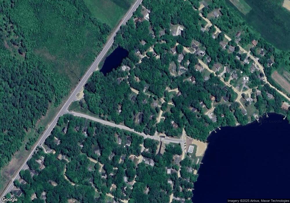
Map
Nearby Homes
- 10 Circle Dr
- 96 Damsite Rd
- 1223 Suncook Valley Rd
- 24 Danbury Rd
- 0 Andover Dr Unit 106 5059711
- 58 Windsor Way
- 71 Windsor Way
- 61 Crescent Dr
- 38 Peacham Rd
- 91 Bradford Ln
- 180 Varney Rd
- 184 Varney Rd
- 16 Douglas Dr
- 222 Varney Rd
- 28 Dalton Dr
- 37446 N Shore Washington Dr
- 1 Wentworth Ln
- Lot 33 Ridge Rd
- 157 Georgetown Dr
- 165 Georgetown Dr
- 0 Emerson Dr
- 68 Emerson Dr
- 60 Emerson Dr
- 20 Colony Dr
- Lot 81 Emerson Dr
- 3 Circle Dr
- 20 Circle Dr
- 0 Colony Dr Unit Lot 38
- 63 Colony Dr
- Lot 63 Colony Dr
- Lot 61A Colony Dr
- 21 Circle Dr
- 39 Colony Dr
- 54 Emerson Dr
- 59 Emerson Dr
- 0 Colony Dr Windsor Way Unit 4899929
- 55 Emerson Dr
- 100 Damsite Rd
- 25 Colony Dr
- 24 Circle Dr
Your Personal Tour Guide
Ask me questions while you tour the home.