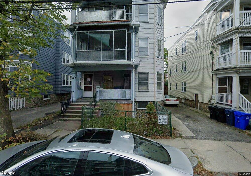
69 Euston Rd Unit 5 Brighton, MA 02135
Saint Elizabeths NeighborhoodEstimated Value: $1,484,000 - $1,759,000
2
Beds
1
Bath
--
Sq Ft
3,746
Sq Ft Lot
About This Home
This home is located at 69 Euston Rd Unit 5, Brighton, MA 02135 and is currently estimated at $1,613,333. 69 Euston Rd Unit 5 is a home located in Suffolk County with nearby schools including Boston Green Academy Horace Mann Charter School, Shaloh House Jewish Day School, and Torah Academy.
Ownership History
Date
Name
Owned For
Owner Type
Purchase Details
Closed on
Apr 9, 2012
Sold by
Chen Allan J and Chen Jin C
Bought by
Chen Jin C
Current Estimated Value
Purchase Details
Closed on
Jun 2, 1994
Sold by
Shapiro Helen G
Bought by
Chen Allan J and Chen Jin C
Home Financials for this Owner
Home Financials are based on the most recent Mortgage that was taken out on this home.
Original Mortgage
$170,000
Interest Rate
8.49%
Mortgage Type
Purchase Money Mortgage
Create a Home Valuation Report for This Property
The Home Valuation Report is an in-depth analysis detailing your home's value as well as a comparison with similar homes in the area
Home Values in the Area
Average Home Value in this Area
Purchase History
| Date | Buyer | Sale Price | Title Company |
|---|---|---|---|
| Chen Jin C | -- | -- | |
| Chen Allan J | $243,500 | -- |
Source: Public Records
Mortgage History
| Date | Status | Borrower | Loan Amount |
|---|---|---|---|
| Previous Owner | Chen Allan J | $150,000 | |
| Previous Owner | Chen Allan J | $170,000 | |
| Previous Owner | Chen Allan J | $50,000 | |
| Previous Owner | Chen Allan J | $83,000 |
Source: Public Records
Tax History
| Year | Tax Paid | Tax Assessment Tax Assessment Total Assessment is a certain percentage of the fair market value that is determined by local assessors to be the total taxable value of land and additions on the property. | Land | Improvement |
|---|---|---|---|---|
| 2025 | $18,218 | $1,573,200 | $514,500 | $1,058,700 |
| 2024 | $17,073 | $1,566,300 | $448,500 | $1,117,800 |
| 2023 | $16,013 | $1,491,000 | $426,900 | $1,064,100 |
| 2022 | $16,064 | $1,476,500 | $422,800 | $1,053,700 |
| 2021 | $15,446 | $1,447,600 | $414,500 | $1,033,100 |
| 2020 | $14,054 | $1,330,900 | $400,900 | $930,000 |
| 2019 | $13,115 | $1,244,300 | $303,500 | $940,800 |
| 2018 | $12,377 | $1,181,000 | $303,500 | $877,500 |
| 2017 | $11,912 | $1,124,800 | $303,500 | $821,300 |
| 2016 | $11,047 | $1,004,300 | $303,500 | $700,800 |
| 2015 | $10,608 | $876,000 | $234,200 | $641,800 |
| 2014 | $9,575 | $761,100 | $234,200 | $526,900 |
Source: Public Records
Map
Nearby Homes
- 38 Ransom Rd Unit 12
- 32 Ransom Rd Unit 4
- 1673 Commonwealth Ave Unit 3
- 1641 Commonwealth Ave Unit 16
- 1641 Commonwealth Ave Unit 3
- 1691 Commonwealth Ave Unit 31
- 1666 Commonwealth Ave Unit 66-24
- 100 Washington St Unit 3
- 113-115 Nottinghill Rd
- 123 Nottinghill Rd Unit 1
- 100 Lanark Rd Unit A
- 100 Lanark Rd Unit 8
- 1564 Commonwealth Ave Unit 3
- 1564 Commonwealth Ave Unit 16
- 15 Colliston Rd Unit 6
- 311 Allston St Unit 11
- 30 Kinross Rd Unit 1
- 140 Kilsyth Rd Unit 9
- 140 Kilsyth Rd Unit 8
- 309 Allston St Unit 6
- 69 Euston Rd
- 69 Euston Rd Unit 2
- 69 Euston Rd Unit 17
- 69 Euston Rd Unit 11
- 69 Euston Rd Unit 1
- 69 Euston Rd
- 71 Euston Rd Unit 3
- 71 Euston Rd Unit 2
- 71 Euston Rd Unit 1
- 71 Euston Rd Unit 110
- 71 Euston Rd Unit 106
- 71 Euston Rd
- 67 Euston Rd
- 67 Euston Rd Unit 2
- 67 Euston Rd
- 67 Euston Rd Unit 3
- 75 Euston Rd
- 75 Euston Rd Unit 4
- 75 Euston Rd Unit 3
- 75 Euston Rd Unit 1
Your Personal Tour Guide
Ask me questions while you tour the home.