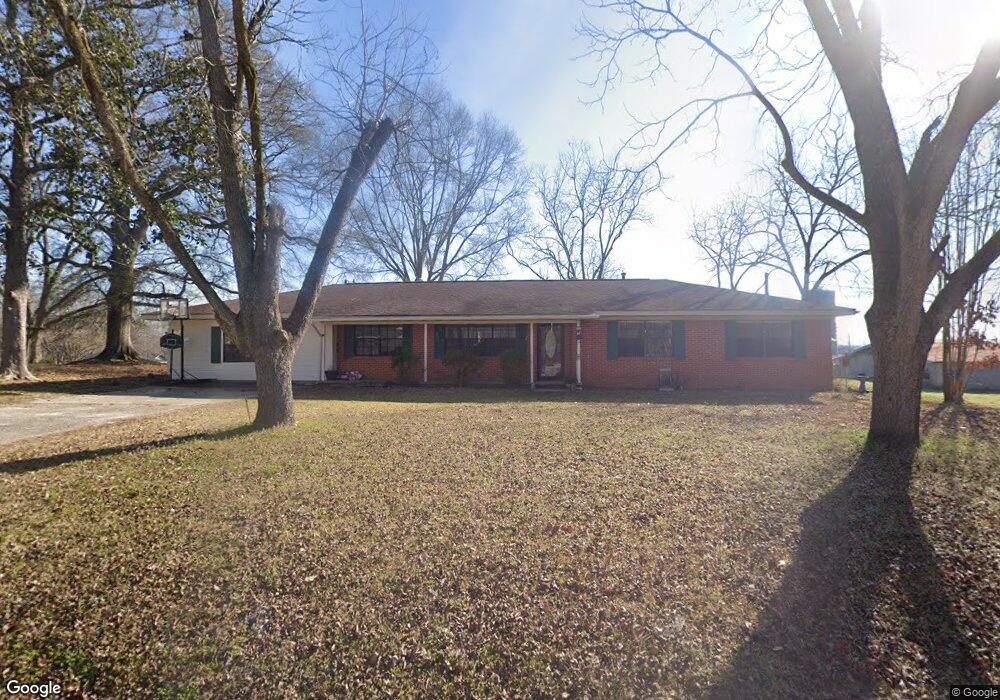
69 First Ave Decatur, MS 39327
Estimated Value: $151,000 - $213,000
Studio
2
Baths
2,370
Sq Ft
$78/Sq Ft
Est. Value
About This Home
This home is located at 69 First Ave, Decatur, MS 39327 and is currently estimated at $184,169, approximately $77 per square foot. 69 First Ave is a home located in Newton County with nearby schools including Newton County Elementary School, Newton County High School, and Newton County Academy.
Ownership History
Date
Name
Owned For
Owner Type
Purchase Details
Closed on
Mar 5, 2024
Sold by
Scott Norman Billy
Bought by
Norman Jessica Lauren
Current Estimated Value
Purchase Details
Closed on
Jul 7, 2019
Sold by
Foster Brian and Foster Cyndey
Bought by
Norman Billy Scott and Norman Jessica Lauren
Home Financials for this Owner
Home Financials are based on the most recent Mortgage that was taken out on this home.
Original Mortgage
$107,697
Interest Rate
3.8%
Mortgage Type
New Conventional
Purchase Details
Closed on
Sep 30, 2011
Sold by
Breland Robert Jeffrey and Breland Michelle E
Bought by
Foster Brian and Foster Cydney
Home Financials for this Owner
Home Financials are based on the most recent Mortgage that was taken out on this home.
Original Mortgage
$55,500
Interest Rate
4.26%
Create a Home Valuation Report for This Property
The Home Valuation Report is an in-depth analysis detailing your home's value as well as a comparison with similar homes in the area
Purchase History
| Date | Buyer | Sale Price | Title Company |
|---|---|---|---|
| Norman Jessica Lauren | -- | None Listed On Document | |
| Norman Billy Scott | -- | -- | |
| Foster Brian | $120,000 | -- |
Source: Public Records
Mortgage History
| Date | Status | Borrower | Loan Amount |
|---|---|---|---|
| Previous Owner | Norman Billy Scott | $107,697 | |
| Previous Owner | Foster Brian | $55,500 |
Source: Public Records
Tax History
| Year | Tax Paid | Tax Assessment Tax Assessment Total Assessment is a certain percentage of the fair market value that is determined by local assessors to be the total taxable value of land and additions on the property. | Land | Improvement |
|---|---|---|---|---|
| 2025 | $1,586 | $12,042 | $0 | $0 |
| 2024 | $1,542 | $11,766 | $0 | $0 |
| 2023 | $1,520 | $11,766 | $0 | $0 |
| 2022 | $1,501 | $11,766 | $0 | $0 |
| 2021 | $1,400 | $11,043 | $0 | $0 |
| 2020 | $1,400 | $11,043 | $0 | $0 |
| 2019 | $1,408 | $11,043 | $0 | $0 |
| 2018 | $1,358 | $11,043 | $0 | $0 |
| 2017 | $1,265 | $10,501 | $0 | $0 |
| 2016 | $1,252 | $10,501 | $0 | $0 |
| 2015 | -- | $10,501 | $0 | $0 |
| 2014 | -- | $10,501 | $0 | $0 |
Source: Public Records
Map
Nearby Homes
- 15061 Mississippi 15
- 906 Fifth St
- 0 Turkey Creek Rd
- 12833 Mississippi 15
- 18159 Mississippi 15
- 18159 Highway 15
- 625 Midway Rd
- 19763 Mississippi 15
- 307 Willis Rd
- 7749 Hickory Little Rock Rd
- 365 Stamper Pond Rd
- 327 Stamper Pond Rd
- 0 Eastside Dr
- 107 Adeline Ln
- 1116 Old Hickory Rd
- 000 Greenland Rd
- 0 Highway 19 Unit 26-240
- 000 Pleasant Ridge Rd
- 0 Edwards Rd
- 66 Pete Freeman Rd
- 91 E Broad St
- 49 First Ave
- 68 First Ave
- 58 First Ave
- 189 E Broad St
- 46 First Ave
- 19 Crows Nest Cir
- 202 E Broad St
- 291 Crows Nest Cir
- 249 Crows Nest Cir
- 171 E Broad St
- 37 Crows Nest Cir
- 247 Crows Nest Cir
- 36 Crows Nest Cir
- 392 Seventh St
- 51 Crows Nest Cir
- 227 Crows Nest Cir
- 411 Seventh St
- 151 E Broad St
- 215 Crows Nest Cir
Your Personal Tour Guide
Ask me questions while you tour the home.