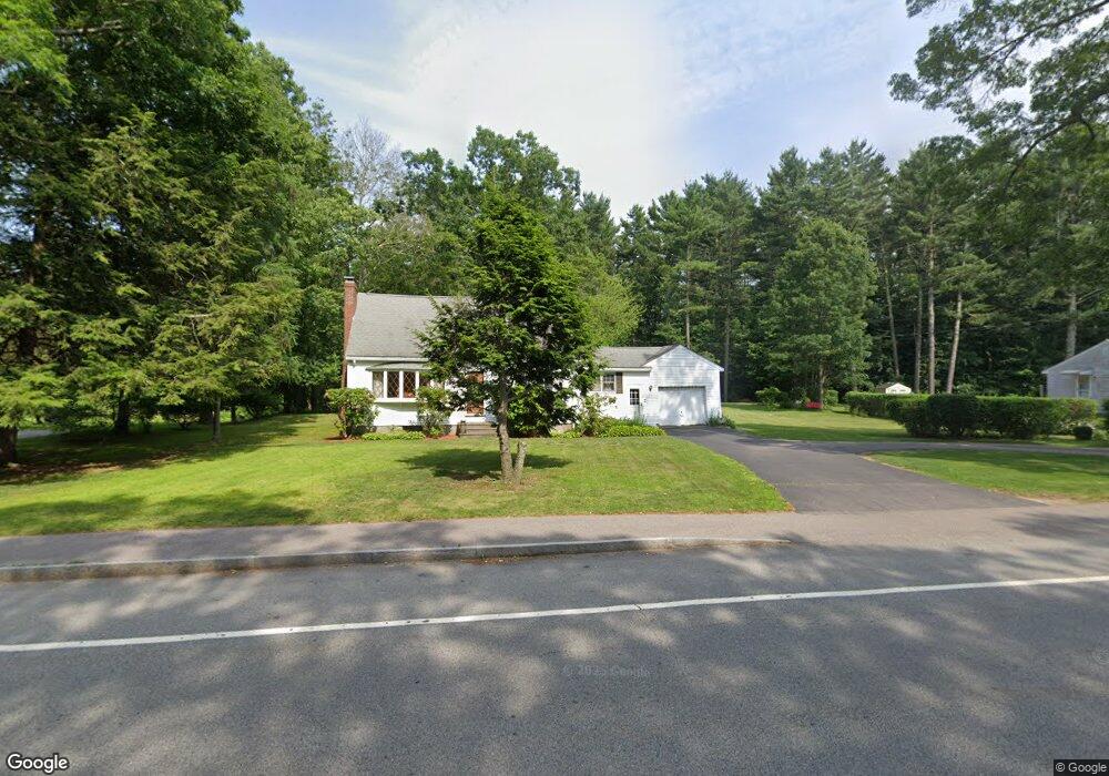
69 Franklin St Mansfield, MA 02048
Estimated Value: $621,584 - $696,000
3
Beds
2
Baths
1,617
Sq Ft
$406/Sq Ft
Est. Value
About This Home
This home is located at 69 Franklin St, Mansfield, MA 02048 and is currently estimated at $656,646, approximately $406 per square foot. 69 Franklin St is a home located in Bristol County with nearby schools including Jordan/Jackson Elementary School, Everett W. Robinson Elementary School, and Harold L. Qualters Middle School.
Ownership History
Date
Name
Owned For
Owner Type
Purchase Details
Closed on
Mar 11, 2015
Sold by
Guerrini Bernard P and Guerrini Patricia M
Bought by
Guerrini Bernard P and Guerrini Patricia M
Current Estimated Value
Purchase Details
Closed on
Jan 29, 1976
Bought by
Guerrini Bernard P and Guerrini Patricia M
Create a Home Valuation Report for This Property
The Home Valuation Report is an in-depth analysis detailing your home's value as well as a comparison with similar homes in the area
Home Values in the Area
Average Home Value in this Area
Purchase History
| Date | Buyer | Sale Price | Title Company |
|---|---|---|---|
| Guerrini Bernard P | -- | -- | |
| Guerrini Bernard P | -- | -- |
Source: Public Records
Mortgage History
| Date | Status | Borrower | Loan Amount |
|---|---|---|---|
| Previous Owner | Guerrini Bernard P | $50,000 | |
| Previous Owner | Guerrini Bernard P | $27,460 | |
| Previous Owner | Guerrini Bernard P | $70,000 | |
| Previous Owner | Guerrini Bernard P | $55,000 |
Source: Public Records
Tax History
| Year | Tax Paid | Tax Assessment Tax Assessment Total Assessment is a certain percentage of the fair market value that is determined by local assessors to be the total taxable value of land and additions on the property. | Land | Improvement |
|---|---|---|---|---|
| 2025 | $6,603 | $501,400 | $248,600 | $252,800 |
| 2024 | $6,793 | $503,200 | $248,600 | $254,600 |
| 2023 | $6,749 | $479,000 | $248,600 | $230,400 |
| 2022 | $6,526 | $430,200 | $230,200 | $200,000 |
| 2021 | $6,096 | $396,900 | $201,400 | $195,500 |
| 2020 | $5,723 | $372,600 | $191,800 | $180,800 |
| 2019 | $5,208 | $342,200 | $159,800 | $182,400 |
| 2018 | $2,433 | $330,000 | $152,500 | $177,500 |
| 2017 | $4,647 | $309,400 | $148,200 | $161,200 |
| 2016 | $4,457 | $289,200 | $141,000 | $148,200 |
| 2015 | $4,431 | $285,900 | $141,000 | $144,900 |
Source: Public Records
Map
Nearby Homes
- 631 East St Unit L101
- 4 Erick Rd Unit 90
- 26 Fredric Ln
- 890 Maple St
- 46 Hope St
- 122 Samoset Ave
- 261 East St
- 97 East St
- 7 Fieldstone Dr
- 212 Mill St
- 81 Chilson Ave
- 1 Deer Path Ln
- 25 Kingman Ave
- 28 Court St
- 619 N Main St
- 22 Pleasant St Unit B
- 44 Fairfield Park Unit 44
- 266 N Main St Unit 3
- 15 Coach Rd
- 150 Rumford Ave Unit 110
- 79 Franklin St
- 59 Franklin St
- 49 Franklin St
- 80 Franklin St
- 85 Franklin St
- 35 Franklin St Unit 37
- 24 Lawndale Rd
- 35 Franklin St Unit 37
- 40 Lawndale Rd
- 35-37 Franklin St Unit 37
- 12 Lawndale Rd
- 10 Lawndale Rd Unit 2
- 10 Lawndale Rd Unit 1
- 10 Lawndale Rd Ranch Duplex
- 50 Lawndale Rd
- 88 Franklin St Unit 90
- 25 Franklin St
- 94 Franklin St Unit 96
- 8 Lawndale Rd
- 66 Lawndale Rd
Your Personal Tour Guide
Ask me questions while you tour the home.