69 Heald Dr Durham, ME 04222
Estimated Value: $512,000 - $625,000
3
Beds
3
Baths
1,684
Sq Ft
$336/Sq Ft
Est. Value
About This Home
This home is located at 69 Heald Dr, Durham, ME 04222 and is currently estimated at $565,311, approximately $335 per square foot. 69 Heald Dr is a home with nearby schools including Durham Community School and Freeport High School.
Ownership History
Date
Name
Owned For
Owner Type
Purchase Details
Closed on
Oct 17, 2017
Sold by
Heald Ryan
Bought by
Heald Ryan K and Heald Kirk D
Current Estimated Value
Home Financials for this Owner
Home Financials are based on the most recent Mortgage that was taken out on this home.
Original Mortgage
$203,100
Interest Rate
3.82%
Mortgage Type
Unknown
Purchase Details
Closed on
Jul 10, 2012
Sold by
Heald Kirk D and Heald Melissa L
Bought by
Heald Ryan K and Heald Nicole
Create a Home Valuation Report for This Property
The Home Valuation Report is an in-depth analysis detailing your home's value as well as a comparison with similar homes in the area
Home Values in the Area
Average Home Value in this Area
Purchase History
| Date | Buyer | Sale Price | Title Company |
|---|---|---|---|
| Heald Ryan K | -- | -- | |
| Heald Ryan K | -- | -- |
Source: Public Records
Mortgage History
| Date | Status | Borrower | Loan Amount |
|---|---|---|---|
| Closed | Heald Ryan K | $203,100 |
Source: Public Records
Tax History Compared to Growth
Tax History
| Year | Tax Paid | Tax Assessment Tax Assessment Total Assessment is a certain percentage of the fair market value that is determined by local assessors to be the total taxable value of land and additions on the property. | Land | Improvement |
|---|---|---|---|---|
| 2024 | $5,257 | $241,700 | $72,400 | $169,300 |
| 2023 | $5,160 | $241,700 | $72,400 | $169,300 |
| 2022 | $5,003 | $241,700 | $72,400 | $169,300 |
| 2021 | $5,003 | $241,700 | $72,400 | $169,300 |
| 2020 | $4,894 | $241,700 | $72,400 | $169,300 |
| 2019 | $4,894 | $241,700 | $72,400 | $169,300 |
| 2018 | $4,761 | $241,700 | $72,400 | $169,300 |
| 2016 | $4,544 | $241,700 | $72,400 | $169,300 |
| 2015 | $4,206 | $241,700 | $72,400 | $169,300 |
| 2014 | $4,024 | $241,700 | $72,400 | $169,300 |
| 2013 | $3,613 | $241,700 | $72,400 | $169,300 |
Source: Public Records
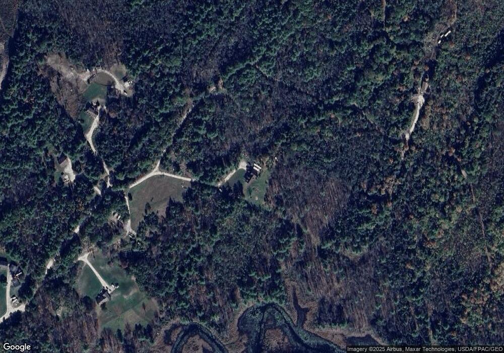
Map
Nearby Homes
- 99 Rangdale Rd
- 850 Lawrence Rd
- 1 Mattie Ln
- 206 Davis Rd
- 200 Woodman Rd
- 059-007 Soper's Mill Rd
- 284 Allen Rd
- 1032 Ferry Rd
- 890 Elmwood Rd
- 244 Allen Rd
- 16 Harlie Woods Rd
- 10 Cobbs Bridge Rd
- 006-114 Old Brunswick Rd
- 11 Pinewoods Rd
- 026-01 Dow Ln
- 127 Brown Rd
- 160 Gloucester Hill Rd
- 164 Intervale Rd
- 155 & 151 Gloucester Hill Rd
- 0018-C Gloucester Hill Rd
- 66 Heald Dr
- Lot 2 Heald Dr
- Lot 3 Heald Dr
- 39 Heald Dr
- 74 Heald Dr
- 32 Heald Dr
- 38 Rivers Dr
- 24 Rivers Dr
- 342 Auburn Pownal Rd
- 340 Auburn Pownal Rd
- 322 Auburn Pownal Rd
- 339 Auburn Pownal Rd
- 349 Auburn Pownal Rd
- 316 Auburn Pownal Rd
- 321 Auburn Pownal Rd
- 70 Heald Dr
- 401 Auburn Pownal Rd
- 305 Auburn Pownal Rd
- 337 Auburn Pownal Rd
- 9 Maine Forest Dr