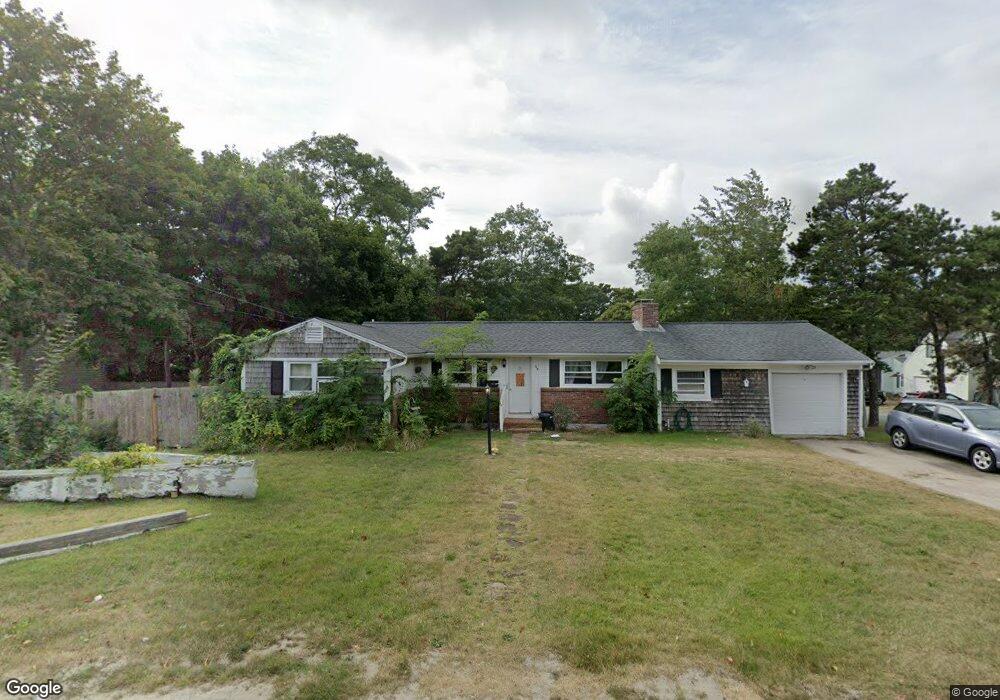
69 High Bank Rd South Yarmouth, MA 02664
Estimated Value: $622,000 - $734,000
3
Beds
3
Baths
1,604
Sq Ft
$424/Sq Ft
Est. Value
About This Home
This home is located at 69 High Bank Rd, South Yarmouth, MA 02664 and is currently estimated at $680,565, approximately $424 per square foot. 69 High Bank Rd is a home located in Barnstable County with nearby schools including Dennis-Yarmouth Regional High School and St. Pius X. School.
Ownership History
Date
Name
Owned For
Owner Type
Purchase Details
Closed on
Nov 7, 2017
Sold by
Burns Vinita M
Bought by
Burns Ft
Current Estimated Value
Purchase Details
Closed on
May 31, 2002
Sold by
Barbi Mark G and Barbi Jeanne E
Bought by
Burns Vinita M
Purchase Details
Closed on
Mar 31, 1995
Sold by
Ellis William and Ellis Maureen
Bought by
Barbi Mark G and Barbi Jeanne E
Home Financials for this Owner
Home Financials are based on the most recent Mortgage that was taken out on this home.
Original Mortgage
$90,593
Interest Rate
8.8%
Mortgage Type
Purchase Money Mortgage
Create a Home Valuation Report for This Property
The Home Valuation Report is an in-depth analysis detailing your home's value as well as a comparison with similar homes in the area
Home Values in the Area
Average Home Value in this Area
Purchase History
| Date | Buyer | Sale Price | Title Company |
|---|---|---|---|
| Burns Ft | -- | -- | |
| Burns Vinita M | $235,600 | -- | |
| Barbi Mark G | $91,000 | -- |
Source: Public Records
Mortgage History
| Date | Status | Borrower | Loan Amount |
|---|---|---|---|
| Previous Owner | Barbi Mark G | $90,593 |
Source: Public Records
Tax History Compared to Growth
Tax History
| Year | Tax Paid | Tax Assessment Tax Assessment Total Assessment is a certain percentage of the fair market value that is determined by local assessors to be the total taxable value of land and additions on the property. | Land | Improvement |
|---|---|---|---|---|
| 2025 | $3,488 | $492,600 | $140,800 | $351,800 |
| 2024 | $3,486 | $472,300 | $148,400 | $323,900 |
| 2023 | $3,508 | $432,600 | $132,300 | $300,300 |
| 2022 | $3,304 | $359,900 | $119,000 | $240,900 |
| 2021 | $3,102 | $324,500 | $119,000 | $205,500 |
| 2020 | $3,033 | $303,300 | $119,000 | $184,300 |
| 2019 | $2,807 | $277,900 | $119,000 | $158,900 |
| 2018 | $2,633 | $255,900 | $97,000 | $158,900 |
| 2017 | $2,564 | $255,900 | $97,000 | $158,900 |
| 2016 | $2,466 | $247,100 | $88,200 | $158,900 |
| 2015 | $2,405 | $239,500 | $88,200 | $151,300 |
Source: Public Records
Map
Nearby Homes
- 116 N Main St
- 18 Turner Ln
- 29 Bass River Rd
- 45 Seth Ln
- 1 Country Club Dr
- 7 Sunset Pines Rd
- 61 Station Ave
- 4 Raymond Ave
- 30 Pebble Beach Way
- 15 Sharon Rd
- 21 Green Way
- 308 Old Main St
- 23 Fairwood Rd
- 22 Powhatan Rd
- 141 Main St Unit 4
- 141 Main St Unit 23
- 91 Chipping Green Cir
- 140 Diane Ave
- 209 Main St Unit 3
- 209 Main St Unit 6
- 69 Highbank Rd
- 7 Lindon Ln
- 63 High Bank Rd
- 63 Highbank Rd
- 8 Lindon Ln
- 57 High Bank Rd
- 19 Cherub Ln
- 16 Cherub Ln
- 27 Cherub Ln
- 53 High Bank Rd
- 87 Highbank Rd
- 87 High Bank Rd
- 8 Pennstar Ln
- 31 Cherub Ln
- 8 Pennstar Ln
- 150 N Main St
- 2 Georgetown Landing Rd
- 9 Pennstar Ln
- 6 Georgetown Landing Rd
- 45 High Bank Rd