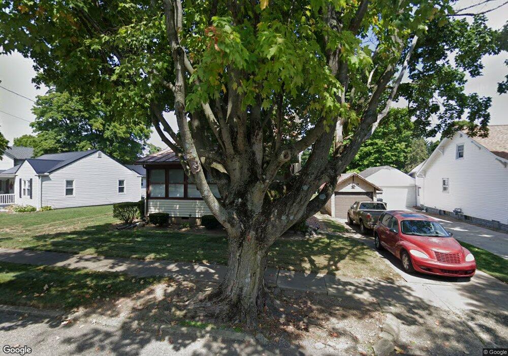
69 Highland St Carroll, OH 43112
Estimated Value: $228,672 - $269,000
2
Beds
2
Baths
1,040
Sq Ft
$245/Sq Ft
Est. Value
About This Home
This home is located at 69 Highland St, Carroll, OH 43112 and is currently estimated at $254,418, approximately $244 per square foot. 69 Highland St is a home located in Fairfield County with nearby schools including Bloom Carroll Primary School, Bloom Carroll Intermediate School, and Bloom-Carroll Middle School.
Ownership History
Date
Name
Owned For
Owner Type
Purchase Details
Closed on
Jun 13, 2001
Sold by
Miller Charlotte J
Bought by
Underwood Robert K
Current Estimated Value
Home Financials for this Owner
Home Financials are based on the most recent Mortgage that was taken out on this home.
Original Mortgage
$67,111
Outstanding Balance
$25,601
Interest Rate
7.16%
Mortgage Type
New Conventional
Estimated Equity
$228,817
Purchase Details
Closed on
Aug 17, 1998
Sold by
Bigerton James O
Bought by
Miller Charlotte J
Home Financials for this Owner
Home Financials are based on the most recent Mortgage that was taken out on this home.
Original Mortgage
$81,000
Interest Rate
7.07%
Mortgage Type
New Conventional
Purchase Details
Closed on
Feb 12, 1993
Sold by
Baughman Steven L
Bought by
Bigerton James O
Purchase Details
Closed on
May 1, 1986
Create a Home Valuation Report for This Property
The Home Valuation Report is an in-depth analysis detailing your home's value as well as a comparison with similar homes in the area
Home Values in the Area
Average Home Value in this Area
Purchase History
| Date | Buyer | Sale Price | Title Company |
|---|---|---|---|
| Underwood Robert K | $83,889 | -- | |
| Miller Charlotte J | $90,000 | -- | |
| Bigerton James O | $62,900 | -- | |
| -- | $40,500 | -- |
Source: Public Records
Mortgage History
| Date | Status | Borrower | Loan Amount |
|---|---|---|---|
| Open | Underwood Robert K | $67,111 | |
| Previous Owner | Miller Charlotte J | $81,000 |
Source: Public Records
Tax History Compared to Growth
Tax History
| Year | Tax Paid | Tax Assessment Tax Assessment Total Assessment is a certain percentage of the fair market value that is determined by local assessors to be the total taxable value of land and additions on the property. | Land | Improvement |
|---|---|---|---|---|
| 2024 | $4,706 | $59,050 | $17,240 | $41,810 |
| 2023 | $2,555 | $59,050 | $17,240 | $41,810 |
| 2022 | $2,574 | $59,050 | $17,240 | $41,810 |
| 2021 | $1,814 | $40,910 | $14,360 | $26,550 |
| 2020 | $1,836 | $40,910 | $14,360 | $26,550 |
| 2019 | $1,844 | $40,910 | $14,360 | $26,550 |
| 2018 | $1,636 | $33,580 | $14,360 | $19,220 |
| 2017 | $1,534 | $37,370 | $14,360 | $23,010 |
| 2016 | $1,487 | $37,370 | $14,360 | $23,010 |
| 2015 | $1,405 | $34,410 | $14,360 | $20,050 |
| 2014 | $1,342 | $34,410 | $14,360 | $20,050 |
| 2013 | $1,342 | $34,410 | $14,360 | $20,050 |
Source: Public Records
Map
Nearby Homes
- 52 W Canal St
- 62 Oberle Ave
- 2155 Carroll-Southern Rd NW
- 5341 Carnes Rd
- 4656 Meadow Grove Dr NW
- 6920 Winchester Rd NW
- 4180 Stone Hill Drive East NW
- 3738 Arrowhead Dr NW
- 4900 Pickerington Rd NW
- 5726 Bish Rd
- 2831 Sterling Dr NW
- 8322 Benson Rd
- 0 Pleasantville Rd NW Unit Lot 7
- 1975 Lamb Rd NW
- 7936 Allen Rd
- 5560 Amanda Northern Rd NW
- 7985 Lithopolis Rd NW
- 7234 Pickerington Rd
- 4129 Brook Rd NW
- 4077 Basil Western Rd NW