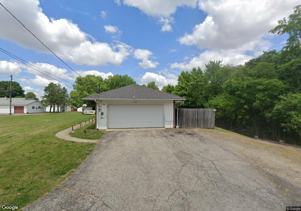
69 Hillcrest Dr Mount Sterling, OH 43143
Estimated Value: $267,000 - $380,000
3
Beds
3
Baths
2,990
Sq Ft
$111/Sq Ft
Est. Value
About This Home
This home is located at 69 Hillcrest Dr, Mount Sterling, OH 43143 and is currently estimated at $331,690, approximately $110 per square foot. 69 Hillcrest Dr is a home located in Madison County with nearby schools including Madison-Plains Elementary School, Madison-Plains Intermediate School, and Madison-Plains Junior High School.
Ownership History
Date
Name
Owned For
Owner Type
Purchase Details
Closed on
Jan 29, 2019
Sold by
Estate Of Densil K Wright
Bought by
Wright Lois F
Current Estimated Value
Purchase Details
Closed on
Nov 3, 1995
Sold by
Starkey Don
Bought by
Wright Dansil K and Wright Lois F
Home Financials for this Owner
Home Financials are based on the most recent Mortgage that was taken out on this home.
Original Mortgage
$108,000
Interest Rate
7.61%
Mortgage Type
New Conventional
Purchase Details
Closed on
Aug 15, 1995
Sold by
Showa Aluminum Corp
Bought by
Starkey Don and Starkey Lula M
Create a Home Valuation Report for This Property
The Home Valuation Report is an in-depth analysis detailing your home's value as well as a comparison with similar homes in the area
Home Values in the Area
Average Home Value in this Area
Purchase History
| Date | Buyer | Sale Price | Title Company |
|---|---|---|---|
| Wright Lois F | -- | None Available | |
| Wright Dansil K | $115,000 | -- | |
| Starkey Don | $87,500 | -- |
Source: Public Records
Mortgage History
| Date | Status | Borrower | Loan Amount |
|---|---|---|---|
| Previous Owner | Wright Dansil K | $108,000 |
Source: Public Records
Tax History Compared to Growth
Tax History
| Year | Tax Paid | Tax Assessment Tax Assessment Total Assessment is a certain percentage of the fair market value that is determined by local assessors to be the total taxable value of land and additions on the property. | Land | Improvement |
|---|---|---|---|---|
| 2024 | $3,043 | $96,710 | $28,130 | $68,580 |
| 2023 | $3,043 | $96,710 | $28,130 | $68,580 |
| 2022 | $2,655 | $80,410 | $23,390 | $57,020 |
| 2021 | $2,587 | $80,410 | $23,390 | $57,020 |
| 2020 | $2,907 | $80,410 | $23,390 | $57,020 |
| 2019 | $2,461 | $70,070 | $20,990 | $49,080 |
| 2018 | $2,462 | $70,070 | $20,990 | $49,080 |
| 2017 | $2,412 | $70,070 | $20,990 | $49,080 |
| 2016 | $2,049 | $61,890 | $20,990 | $40,900 |
| 2015 | $2,009 | $61,890 | $20,990 | $40,900 |
| 2014 | $2,009 | $61,890 | $20,990 | $40,900 |
| 2013 | -- | $52,540 | $9,560 | $42,980 |
Source: Public Records
Map
Nearby Homes
- 67 W Columbus St
- 60 N London St
- 223 W Main St
- 94 Jefferson St
- 233 W Main St
- 230 W Columbus St
- 233 Rosewood Ave
- 500 Wingate Place N
- 178 Poplar St
- 16185 State Route 207
- 14035 Woods Opossum Run Rd Unit R
- 15561 Blain Rd
- 8713 State Route 207
- 12265 Woods Opossum Run
- 11850 Woods Opossum
- 0 Renick Rd
- 16270 Cook Yankeetown Rd NE
- 10586 Baldwin Rd
- 0 Rockwell Rd Unit 225016734
- 13810 Yankeetown Chenoweth Rd
- 86 S High St
- 73 E Columbus St
- 65 E Columbus St
- 92 S High St
- 74 S High St
- 59 E Columbus St Unit 61
- 83 E Columbus St
- 55 E Columbus St
- 93 W Columbus St
- 101 W Columbus St Unit 111
- 77 S High St
- 69 S High St
- 111 E Columbus St
- 57 S High St
- 85 S High St
- 52 E Columbus St
- 76 E Columbus St
- 68 E Columbus St
- 60 E Columbus St
- 49 E Columbus St