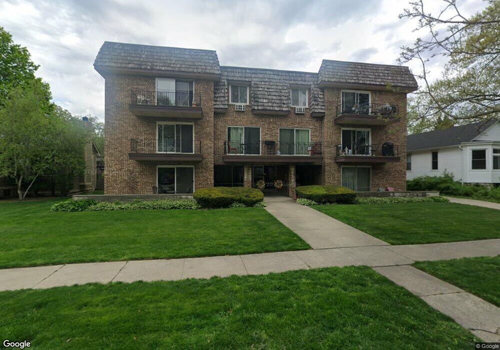
69 Lincoln Ave Unit 1 Riverside, IL 60546
Estimated Value: $164,000 - $312,000
2
Beds
2
Baths
1,000
Sq Ft
$227/Sq Ft
Est. Value
About This Home
This home is located at 69 Lincoln Ave Unit 1, Riverside, IL 60546 and is currently estimated at $226,619, approximately $226 per square foot. 69 Lincoln Ave Unit 1 is a home located in Cook County with nearby schools including Central Elementary School, L J Hauser Jr High School, and Riverside Brookfield High School.
Ownership History
Date
Name
Owned For
Owner Type
Purchase Details
Closed on
Oct 2, 2011
Sold by
Hoker Kathleen A and Barbara L Grundner Inter Vivos
Bought by
69 Lincoln Av One North Trust
Current Estimated Value
Purchase Details
Closed on
Aug 26, 1996
Sold by
American National Bk & Tr Co Of Chicago
Bought by
Barbara L Grundner Intervivos Trust
Create a Home Valuation Report for This Property
The Home Valuation Report is an in-depth analysis detailing your home's value as well as a comparison with similar homes in the area
Home Values in the Area
Average Home Value in this Area
Purchase History
| Date | Buyer | Sale Price | Title Company |
|---|---|---|---|
| 69 Lincoln Av One North Trust | $156,000 | Cti | |
| Barbara L Grundner Intervivos Trust | -- | -- |
Source: Public Records
Tax History
| Year | Tax Paid | Tax Assessment Tax Assessment Total Assessment is a certain percentage of the fair market value that is determined by local assessors to be the total taxable value of land and additions on the property. | Land | Improvement |
|---|---|---|---|---|
| 2025 | $3,651 | $17,380 | $2,279 | $15,101 |
| 2024 | $3,651 | $17,380 | $2,279 | $15,101 |
| 2023 | $2,302 | $17,380 | $2,279 | $15,101 |
| 2022 | $2,302 | $12,168 | $1,778 | $10,390 |
| 2021 | $2,272 | $12,167 | $1,778 | $10,389 |
| 2020 | $2,343 | $12,167 | $1,778 | $10,389 |
| 2019 | $3,318 | $15,599 | $1,611 | $13,988 |
| 2018 | $3,216 | $15,599 | $1,611 | $13,988 |
| 2017 | $3,148 | $15,599 | $1,611 | $13,988 |
| 2016 | $2,123 | $10,308 | $1,333 | $8,975 |
| 2015 | $2,000 | $10,308 | $1,333 | $8,975 |
| 2014 | $1,630 | $10,308 | $1,333 | $8,975 |
| 2013 | $1,539 | $9,724 | $1,333 | $8,391 |
Source: Public Records
Map
Nearby Homes
- 78 Pine Ave
- 124 Forest Ave
- 10 E Burlington St Unit 2C
- 10 E Burlington St Unit 2B
- 220 Maplewood Rd
- 236 Maplewood Rd
- 108 E Burlington St Unit B
- 231 Bartram Rd
- 193 Herrick Rd
- 8117 W 30th St
- 305 Desplaines Ave
- 207 W Quincy St Unit GARD
- 213 W Quincy St Unit 1
- 269 Shenstone Rd
- 176 Riverside Rd
- 315 Bartram Rd
- 336 Fairbank Rd
- 367 Bartram Rd
- 101 Southcote Rd
- 280 Blackhawk Rd
- 69 Lincoln Ave Unit 5
- 69 Lincoln Ave Unit 3
- 69 Lincoln Ave Unit 6
- 69 Lincoln Ave Unit 7
- 69 Lincoln Ave Unit 4
- 69 Lincoln Ave Unit 2
- 69 Lincoln Ave Unit 1N
- 73 Lincoln Ave
- 63 Lincoln Ave
- 77 Lincoln Ave
- 56 Kimbark Rd
- 60 Kimbark Rd
- 96 Forest Ave Unit 2
- 96 Forest Ave
- 96 Forest Ave Unit G
- 92 Forest Ave
- 52 Kimbark Rd
- 100 Forest Ave
- 100 Forest Ave Unit G
- 100 Forest Ave Unit 2
Your Personal Tour Guide
Ask me questions while you tour the home.