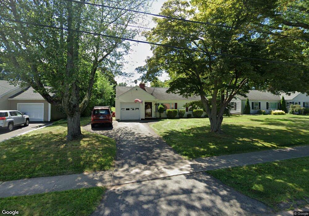
69 Mapleside Dr Wethersfield, CT 06109
Estimated Value: $295,000 - $315,000
2
Beds
1
Bath
912
Sq Ft
$331/Sq Ft
Est. Value
About This Home
This home is located at 69 Mapleside Dr, Wethersfield, CT 06109 and is currently estimated at $302,069, approximately $331 per square foot. 69 Mapleside Dr is a home located in Hartford County with nearby schools including Emerson-Williams School, Silas Deane Middle School, and Wethersfield High School.
Ownership History
Date
Name
Owned For
Owner Type
Purchase Details
Closed on
Nov 2, 2001
Sold by
Bezdelows Maria Rita
Bought by
Braks Mark R
Current Estimated Value
Home Financials for this Owner
Home Financials are based on the most recent Mortgage that was taken out on this home.
Original Mortgage
$116,904
Interest Rate
6.82%
Purchase Details
Closed on
Aug 4, 1997
Sold by
Cody Mabel E Est
Bought by
Saraceno Maria Rita
Home Financials for this Owner
Home Financials are based on the most recent Mortgage that was taken out on this home.
Original Mortgage
$47,500
Interest Rate
7.55%
Mortgage Type
Unknown
Create a Home Valuation Report for This Property
The Home Valuation Report is an in-depth analysis detailing your home's value as well as a comparison with similar homes in the area
Home Values in the Area
Average Home Value in this Area
Purchase History
| Date | Buyer | Sale Price | Title Company |
|---|---|---|---|
| Braks Mark R | $129,000 | -- | |
| Saraceno Maria Rita | $87,500 | -- |
Source: Public Records
Mortgage History
| Date | Status | Borrower | Loan Amount |
|---|---|---|---|
| Closed | Saraceno Maria Rita | $125,000 | |
| Closed | Saraceno Maria Rita | $105,000 | |
| Closed | Saraceno Maria Rita | $116,904 | |
| Previous Owner | Saraceno Maria Rita | $47,500 |
Source: Public Records
Tax History
| Year | Tax Paid | Tax Assessment Tax Assessment Total Assessment is a certain percentage of the fair market value that is determined by local assessors to be the total taxable value of land and additions on the property. | Land | Improvement |
|---|---|---|---|---|
| 2025 | $7,741 | $187,790 | $94,740 | $93,050 |
| 2024 | $5,285 | $122,290 | $73,500 | $48,790 |
| 2023 | $5,109 | $122,290 | $73,500 | $48,790 |
| 2022 | $5,024 | $122,290 | $73,500 | $48,790 |
| 2021 | $4,974 | $122,290 | $73,500 | $48,790 |
| 2020 | $4,976 | $122,290 | $73,500 | $48,790 |
| 2019 | $4,982 | $122,290 | $73,500 | $48,790 |
| 2018 | $5,146 | $126,200 | $71,500 | $54,700 |
| 2017 | $5,019 | $126,200 | $71,500 | $54,700 |
| 2016 | $4,864 | $126,200 | $71,500 | $54,700 |
| 2015 | $4,820 | $126,200 | $71,500 | $54,700 |
| 2014 | $4,637 | $126,200 | $71,500 | $54,700 |
Source: Public Records
Map
Nearby Homes
Your Personal Tour Guide
Ask me questions while you tour the home.