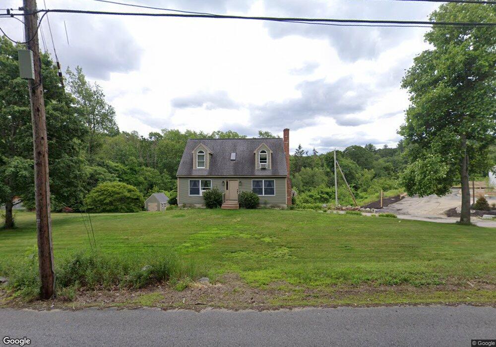
69 Mccracken Rd Millbury, MA 01527
Estimated Value: $545,590 - $677,000
3
Beds
2
Baths
1,671
Sq Ft
$352/Sq Ft
Est. Value
About This Home
This home is located at 69 Mccracken Rd, Millbury, MA 01527 and is currently estimated at $587,398, approximately $351 per square foot. 69 Mccracken Rd is a home located in Worcester County with nearby schools including Elmwood Street Elementary School, Raymond E. Shaw Elementary School, and Millbury Junior/Senior High School.
Ownership History
Date
Name
Owned For
Owner Type
Purchase Details
Closed on
Jul 15, 1994
Sold by
Zanadu Inc
Bought by
Bourdeau David M and Bourdeau Cheryl
Current Estimated Value
Home Financials for this Owner
Home Financials are based on the most recent Mortgage that was taken out on this home.
Original Mortgage
$117,290
Interest Rate
8.51%
Mortgage Type
Purchase Money Mortgage
Create a Home Valuation Report for This Property
The Home Valuation Report is an in-depth analysis detailing your home's value as well as a comparison with similar homes in the area
Home Values in the Area
Average Home Value in this Area
Purchase History
| Date | Buyer | Sale Price | Title Company |
|---|---|---|---|
| Bourdeau David M | $137,990 | -- |
Source: Public Records
Mortgage History
| Date | Status | Borrower | Loan Amount |
|---|---|---|---|
| Open | Bourdeau David M | $114,000 | |
| Closed | Bourdeau David M | $117,290 |
Source: Public Records
Tax History Compared to Growth
Tax History
| Year | Tax Paid | Tax Assessment Tax Assessment Total Assessment is a certain percentage of the fair market value that is determined by local assessors to be the total taxable value of land and additions on the property. | Land | Improvement |
|---|---|---|---|---|
| 2025 | $6,498 | $485,300 | $137,900 | $347,400 |
| 2024 | $5,969 | $451,200 | $127,800 | $323,400 |
| 2023 | $5,401 | $373,800 | $90,000 | $283,800 |
| 2022 | $5,291 | $352,700 | $90,000 | $262,700 |
| 2021 | $5,183 | $335,900 | $90,000 | $245,900 |
| 2020 | $5,475 | $327,500 | $90,000 | $237,500 |
| 2019 | $5,080 | $320,500 | $89,500 | $231,000 |
| 2018 | $10,414 | $305,300 | $89,500 | $215,800 |
| 2017 | $3,609 | $271,600 | $89,500 | $182,100 |
| 2016 | $4,288 | $260,500 | $89,500 | $171,000 |
| 2015 | $4,242 | $257,700 | $91,000 | $166,700 |
| 2014 | $4,183 | $244,600 | $95,000 | $149,600 |
Source: Public Records
Map
Nearby Homes
- 33 Tainter Hill Rd Unit 33B
- 557 SW Cutoff Unit 79
- 557 SW Cutoff Unit 107
- 557 SW Cutoff Unit 17
- 14 Auburn Rd
- 5- 33 Tainter Hill Rd Unit 33A
- 5- 33 Tainter Hill Rd
- 47 Washington St Unit 26
- 24 Upper Windbrook
- 0 Auburn Rd
- 3 Lower Windbrook Dr
- 2 Breezy Bend
- 55 Old Common Rd
- 15 Clearview Terrace Unit 68
- 90 Park Hill Ave
- 2 Camden Dr
- 1295 Millbury St Unit B
- 52 Clearview Terrace Unit 39
- 32 Horne Way
- 40 River St
- 67 Mccracken Rd
- B Dwinell Rd
- A Dwinell Rd
- 0 Dwinell Rd
- 68 Mccracken Rd
- 65 Mccracken Rd
- 71 & 73 Mccracken Rd
- 71 Mccracken Rd
- 62 Mccracken Rd
- Lot B Dwinell Rd
- 55 Dwinell Rd
- 58 Mccracken Rd
- 52 Dwinell Rd
- 73 Mccracken Rd
- 73 Mccracken Rd
- 73 Mccracken Rd
- 76 Mccracken Rd
- 53 Dwinell Rd
- 75 Mccracken Rd
- 50 Dwinell Rd