69 Minot Rd Pownal, ME 04069
Estimated Value: $1,018,000 - $1,405,000
--
Bed
--
Bath
3,212
Sq Ft
$390/Sq Ft
Est. Value
About This Home
This home is located at 69 Minot Rd, Pownal, ME 04069 and is currently estimated at $1,254,223, approximately $390 per square foot. 69 Minot Rd is a home with nearby schools including Freeport High School.
Ownership History
Date
Name
Owned For
Owner Type
Purchase Details
Closed on
Dec 21, 2012
Sold by
Minot Road Partners
Bought by
Sahlman Jeremy A and Sahlman Erika C
Current Estimated Value
Home Financials for this Owner
Home Financials are based on the most recent Mortgage that was taken out on this home.
Original Mortgage
$426,560
Outstanding Balance
$296,370
Interest Rate
3.43%
Mortgage Type
Purchase Money Mortgage
Estimated Equity
$957,853
Create a Home Valuation Report for This Property
The Home Valuation Report is an in-depth analysis detailing your home's value as well as a comparison with similar homes in the area
Home Values in the Area
Average Home Value in this Area
Purchase History
| Date | Buyer | Sale Price | Title Company |
|---|---|---|---|
| Sahlman Jeremy A | -- | -- |
Source: Public Records
Mortgage History
| Date | Status | Borrower | Loan Amount |
|---|---|---|---|
| Open | Sahlman Jeremy A | $426,560 |
Source: Public Records
Tax History Compared to Growth
Tax History
| Year | Tax Paid | Tax Assessment Tax Assessment Total Assessment is a certain percentage of the fair market value that is determined by local assessors to be the total taxable value of land and additions on the property. | Land | Improvement |
|---|---|---|---|---|
| 2024 | $13,637 | $802,200 | $139,700 | $662,500 |
| 2023 | $12,601 | $668,500 | $116,400 | $552,100 |
| 2022 | $10,523 | $584,600 | $116,400 | $468,200 |
| 2021 | $8,438 | $468,800 | $116,400 | $352,400 |
| 2020 | $8,438 | $468,800 | $116,400 | $352,400 |
| 2019 | $8,579 | $468,800 | $116,400 | $352,400 |
| 2018 | $8,438 | $468,800 | $116,400 | $352,400 |
| 2017 | $8,087 | $468,800 | $116,400 | $352,400 |
| 2016 | $7,735 | $468,800 | $116,400 | $352,400 |
| 2015 | $7,574 | $224,400 | $27,400 | $197,000 |
| 2014 | -- | $175,100 | $27,400 | $147,700 |
| 2013 | $952 | $27,400 | $27,400 | $0 |
Source: Public Records
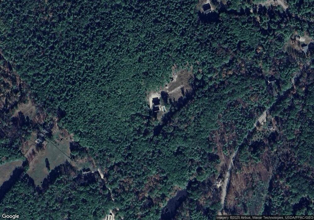
Map
Nearby Homes
- 850 Lawrence Rd
- 890 Elmwood Rd
- 238 Hallowell Rd
- 284 Allen Rd
- 4 Harper's Trail
- 244 Allen Rd
- 162 Merrill Rd
- 99 Rangdale Rd
- 026-01 Dow Ln
- 137 Durham Rd
- 118 Royal Rd
- 304 Pownal Rd
- 143 Bragdon Rd
- 8 Statler Ln
- 12 Peter Robin Way
- 32 Grant Rd
- 42A Wardtown Rd
- 0 New Gloucester Rd
- 206 Davis Rd
- 395 New Gloucester Rd
- 696 Hallowell Rd
- 90 Minot Rd
- 56 Minot Rd
- 0 Minot Rd
- 730 Hallowell Rd
- 677 Hallowell Rd
- 683 Hallowell Rd
- 752 Hallowell Rd
- 28 Minot Rd
- 653 Hallowell Rd
- 721 Hallowell Rd
- 762 Hallowell Rd
- 790 Hallowell Rd
- Lot C Hallowell Rd
- Lot B Hallowell Rd
- Lot A Hallowell Rd
- 737 Hallowell Rd
- 12 Minot Rd
- 771 Hallowell Rd
- 645 Hallowell Rd