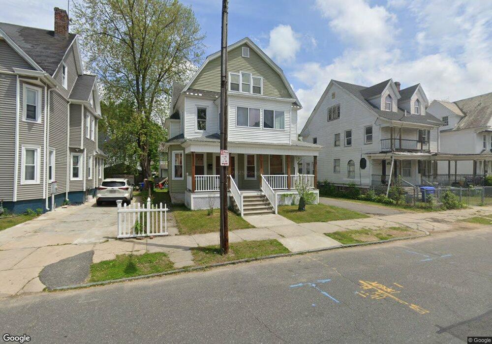
69 Montrose St Springfield, MA 01109
Bay NeighborhoodEstimated Value: $243,000 - $359,000
4
Beds
1
Bath
2,941
Sq Ft
$94/Sq Ft
Est. Value
About This Home
This home is located at 69 Montrose St, Springfield, MA 01109 and is currently estimated at $275,977, approximately $93 per square foot. 69 Montrose St is a home located in Hampden County with nearby schools including Rebecca M Johnson School, John F. Kennedy Academy, and Springfield High School of Science and Technology.
Ownership History
Date
Name
Owned For
Owner Type
Purchase Details
Closed on
Nov 25, 2014
Sold by
Smith Valerie M
Bought by
Woodfine Frank
Current Estimated Value
Purchase Details
Closed on
May 24, 2010
Sold by
Jones Roy I
Bought by
Smith Valerie M
Purchase Details
Closed on
May 29, 2008
Sold by
Elizabeth S Goodwin Re and Jones Roy I
Bought by
Jones Roy I
Home Financials for this Owner
Home Financials are based on the most recent Mortgage that was taken out on this home.
Original Mortgage
$51,817
Interest Rate
5.91%
Mortgage Type
Purchase Money Mortgage
Purchase Details
Closed on
Aug 8, 2006
Sold by
Goodwin Elizabeth S and Jones Elizabeth S
Bought by
Elizabeth S Goodwin Re and Jones Roy I
Create a Home Valuation Report for This Property
The Home Valuation Report is an in-depth analysis detailing your home's value as well as a comparison with similar homes in the area
Home Values in the Area
Average Home Value in this Area
Purchase History
| Date | Buyer | Sale Price | Title Company |
|---|---|---|---|
| Woodfine Frank | $25,000 | -- | |
| Smith Valerie M | $45,000 | -- | |
| Jones Roy I | -- | -- | |
| Elizabeth S Goodwin Re | -- | -- |
Source: Public Records
Mortgage History
| Date | Status | Borrower | Loan Amount |
|---|---|---|---|
| Previous Owner | Jones Roy I | $51,817 |
Source: Public Records
Tax History Compared to Growth
Tax History
| Year | Tax Paid | Tax Assessment Tax Assessment Total Assessment is a certain percentage of the fair market value that is determined by local assessors to be the total taxable value of land and additions on the property. | Land | Improvement |
|---|---|---|---|---|
| 2025 | $2,357 | $150,300 | $30,000 | $120,300 |
| 2024 | $1,781 | $110,900 | $30,000 | $80,900 |
| 2023 | $1,610 | $94,400 | $27,300 | $67,100 |
| 2022 | $1,398 | $74,300 | $25,500 | $48,800 |
| 2021 | $1,213 | $64,200 | $23,200 | $41,000 |
| 2020 | $1,455 | $74,500 | $23,200 | $51,300 |
| 2019 | $1,380 | $70,100 | $23,200 | $46,900 |
| 2018 | $1,263 | $64,200 | $23,200 | $41,000 |
| 2017 | $1,152 | $58,600 | $23,200 | $35,400 |
| 2016 | $1,779 | $90,500 | $23,200 | $67,300 |
| 2015 | $1,776 | $90,300 | $23,200 | $67,100 |
Source: Public Records
Map
Nearby Homes
- 65 Montrose St
- 52-56 Andrew St
- 15 Kenyon St
- 81 Hayden Ave
- 93 Dawes St
- 62 Kenyon St
- 90 Cambridge St
- 50-52 Maynard St
- 58 Willard Ave
- 163 Marion St
- 19 Westford Ave
- 32 Clifford St
- 18 Sycamore St
- 43 Colonial Ave
- 290 Quincy St
- 22-24 Westminster St
- 146 Bay St
- 140 Northampton Ave
- 162 Northampton Ave
- 21 Westford Cir
- 75 Montrose St
- 79 Montrose St
- 72 Mapledell St
- 76 Mapledell St
- 82 Mapledell St
- 62 Mapledell St
- 70 Montrose St
- 85 Montrose St
- 66 Montrose St
- 76 Montrose St
- 60 Montrose St Unit 62
- 86 Mapledell St
- 56 Mapledell St
- 80 Montrose St
- 93 Montrose St
- 49 Montrose St
- 56 Montrose St
- 86 Montrose St
- 92 Mapledell St
- 52 Mapledell St