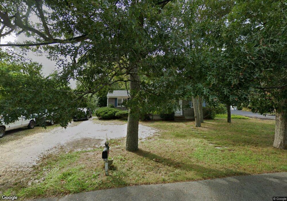
69 N Main St South Yarmouth, MA 02664
Estimated Value: $468,000 - $561,000
3
Beds
2
Baths
936
Sq Ft
$533/Sq Ft
Est. Value
About This Home
This home is located at 69 N Main St, South Yarmouth, MA 02664 and is currently estimated at $499,259, approximately $533 per square foot. 69 N Main St is a home located in Barnstable County with nearby schools including Dennis-Yarmouth Regional High School and St. Pius X. School.
Ownership History
Date
Name
Owned For
Owner Type
Purchase Details
Closed on
Feb 4, 2014
Sold by
Platt Robert L
Bought by
R L Platt Ret and Platt Robert L
Current Estimated Value
Purchase Details
Closed on
Aug 5, 1977
Bought by
Platt Robert Leonard
Create a Home Valuation Report for This Property
The Home Valuation Report is an in-depth analysis detailing your home's value as well as a comparison with similar homes in the area
Home Values in the Area
Average Home Value in this Area
Purchase History
| Date | Buyer | Sale Price | Title Company |
|---|---|---|---|
| R L Platt Ret | -- | -- | |
| Platt Robert Leonard | -- | -- |
Source: Public Records
Tax History Compared to Growth
Tax History
| Year | Tax Paid | Tax Assessment Tax Assessment Total Assessment is a certain percentage of the fair market value that is determined by local assessors to be the total taxable value of land and additions on the property. | Land | Improvement |
|---|---|---|---|---|
| 2025 | $2,775 | $391,900 | $146,800 | $245,100 |
| 2024 | $2,803 | $379,800 | $154,800 | $225,000 |
| 2023 | $2,734 | $337,100 | $138,000 | $199,100 |
| 2022 | $2,590 | $282,100 | $124,100 | $158,000 |
| 2021 | $2,464 | $257,700 | $124,100 | $133,600 |
| 2020 | $2,431 | $243,100 | $124,200 | $118,900 |
| 2019 | $6,803 | $225,500 | $124,200 | $101,300 |
| 2018 | $4,556 | $202,500 | $101,200 | $101,300 |
| 2017 | $2,029 | $202,500 | $101,200 | $101,300 |
| 2016 | $1,929 | $193,300 | $92,000 | $101,300 |
| 2015 | $1,956 | $194,800 | $92,000 | $102,800 |
Source: Public Records
Map
Nearby Homes
- 61 Station Ave
- 45 Seth Ln
- 29 Bass River Rd
- 116 N Main St
- 18 Turner Ln
- 15 Sharon Rd
- 308 Old Main St
- 7 Sunset Pines Rd
- 22 Powhatan Rd
- 251 Old Main St
- 4 Raymond Ave
- 141 Main St Unit 4
- 141 Main St Unit 23
- 209 Main St Unit 3
- 209 Main St Unit 6
- 209 Main St Unit 1
- 209 Main St Unit 2
- 209 Main St Unit 4
- 209 Main St Unit 5
- 1 Country Club Dr