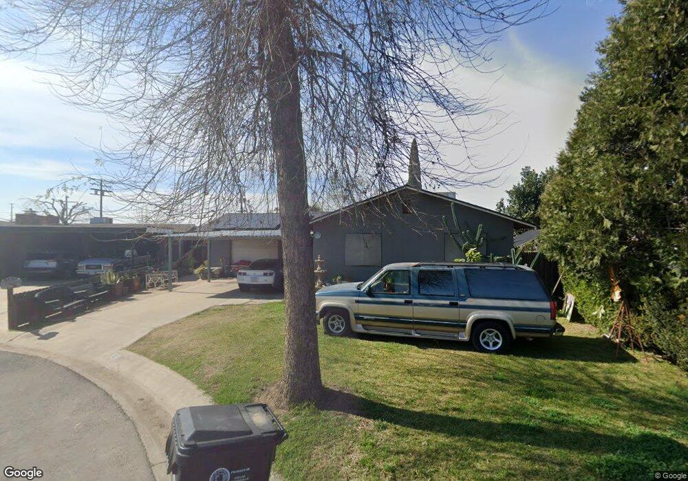
69 N York St Porterville, CA 93257
Porterville Northwest NeighborhoodEstimated Value: $240,881 - $299,000
3
Beds
2
Baths
1,260
Sq Ft
$215/Sq Ft
Est. Value
About This Home
This home is located at 69 N York St, Porterville, CA 93257 and is currently estimated at $271,470, approximately $215 per square foot. 69 N York St is a home located in Tulare County with nearby schools including Burton Elementary School, Burton Middle School, and Porterville High School.
Ownership History
Date
Name
Owned For
Owner Type
Purchase Details
Closed on
Nov 28, 2000
Sold by
Searcy James A
Bought by
Reyes Ruben and Reyes Guadalupe
Current Estimated Value
Home Financials for this Owner
Home Financials are based on the most recent Mortgage that was taken out on this home.
Original Mortgage
$70,810
Interest Rate
7.54%
Purchase Details
Closed on
Mar 4, 1996
Sold by
Landrum Louise
Bought by
Searcy James A and Searcy Cynthia L
Home Financials for this Owner
Home Financials are based on the most recent Mortgage that was taken out on this home.
Original Mortgage
$66,500
Interest Rate
6.98%
Purchase Details
Closed on
Sep 22, 1993
Sold by
Landrum Louise
Bought by
Landrum Louise and Litsey William D
Create a Home Valuation Report for This Property
The Home Valuation Report is an in-depth analysis detailing your home's value as well as a comparison with similar homes in the area
Home Values in the Area
Average Home Value in this Area
Purchase History
| Date | Buyer | Sale Price | Title Company |
|---|---|---|---|
| Reyes Ruben | $73,000 | Chicago Title Co | |
| Searcy James A | $70,000 | Fidelity National Title | |
| Landrum Louise | -- | -- |
Source: Public Records
Mortgage History
| Date | Status | Borrower | Loan Amount |
|---|---|---|---|
| Previous Owner | Reyes Ruben | $70,810 | |
| Previous Owner | Searcy James A | $66,500 | |
| Closed | Reyes Ruben | $2,190 |
Source: Public Records
Tax History Compared to Growth
Tax History
| Year | Tax Paid | Tax Assessment Tax Assessment Total Assessment is a certain percentage of the fair market value that is determined by local assessors to be the total taxable value of land and additions on the property. | Land | Improvement |
|---|---|---|---|---|
| 2025 | $1,265 | $110,000 | $37,670 | $72,330 |
| 2024 | $1,265 | $107,844 | $36,932 | $70,912 |
| 2023 | $1,266 | $105,730 | $36,208 | $69,522 |
| 2022 | $1,204 | $103,658 | $35,499 | $68,159 |
| 2021 | $1,206 | $101,626 | $34,803 | $66,823 |
| 2020 | $1,186 | $100,584 | $34,446 | $66,138 |
| 2019 | $1,184 | $98,612 | $33,771 | $64,841 |
| 2018 | $1,139 | $96,679 | $33,109 | $63,570 |
| 2017 | $1,122 | $94,784 | $32,460 | $62,324 |
| 2016 | $1,076 | $92,926 | $31,824 | $61,102 |
| 2015 | $1,042 | $91,530 | $31,346 | $60,184 |
| 2014 | $1,042 | $89,737 | $30,732 | $59,005 |
Source: Public Records
Map
Nearby Homes
- 251301037 Tomah Ave
- 1482 Tomah Ave
- 66 S Beverly St
- 1922 W River Ave
- 1262 Tomah Ave
- 1771 W Aurora Ct
- 1343 W Morton Ave Unit Sp 84
- 313 Balmoral Dr
- 53 N Prospect St
- 2070 W Harrison Ave
- 2179 W Della Ave
- 595 N Salisbury St
- 1147 W Putnam Ave
- 1137 W Putnam Ave
- 1502 W River Ave
- 1573 W River Ave
- 1730 W Grand Ave
- 100 S Westwood St Unit 52
- 100 S Westwood St Unit 1
- 100 S Westwood St Unit 17