69 Ocean View Ave Cotuit, MA 02635
Cotuit NeighborhoodEstimated Value: $1,799,000 - $5,619,820
About This Home
This home is located at 69 Ocean View Ave, Cotuit, MA 02635 and is currently estimated at $3,709,410, approximately $1,283 per square foot. 69 Ocean View Ave is a home located in Barnstable County with nearby schools including West Villages Elementary School, Barnstable United Elementary School, and Barnstable Intermediate School.
Ownership History
We collect this data history from publicly available records. To have your information removed, we recommend requesting removal directly through your county’s website.
Purchase Details
Purchase Details
Home Financials for this Owner
Home Financials are based on the most recent Mortgage that was taken out on this home.Home Values in the Area
Average Home Value in this Area
Purchase History
We collect this data history from publicly available records. To have your information removed, we recommend requesting removal directly through your county’s website.
| Date | Buyer | Sale Price | Title Company |
|---|---|---|---|
| $7,500,000 | -- | ||
| $75,000 | -- |
Mortgage History
We collect this data history from publicly available records. To have your information removed, we recommend requesting removal directly through your county’s website.
| Date | Status | Borrower | Loan Amount |
|---|---|---|---|
| Previous Owner | $5,500 |
Tax History
We collect this data history from publicly available records. To have your information removed, we recommend requesting removal directly through your county’s website.
| Year | Tax Paid | Tax Assessment Tax Assessment Total Assessment is a certain percentage of the fair market value that is determined by local assessors to be the total taxable value of land and additions on the property. | Land | Improvement |
|---|---|---|---|---|
| 2025 | $50,705 | $6,072,400 | $4,752,200 | $1,320,200 |
| 2024 | $47,558 | $6,035,300 | $4,752,200 | $1,283,100 |
| 2023 | $46,787 | $5,589,900 | $4,439,600 | $1,150,300 |
| 2022 | $47,498 | $4,593,600 | $3,629,100 | $964,500 |
| 2021 | $48,432 | $4,386,600 | $3,536,100 | $850,500 |
| 2020 | $39,744 | $3,394,000 | $2,551,200 | $842,800 |
| 2019 | $39,727 | $3,344,000 | $2,551,200 | $792,800 |
| 2018 | $40,179 | $3,382,100 | $2,685,600 | $696,500 |
| 2017 | $39,964 | $3,386,800 | $2,685,600 | $701,200 |
| 2016 | $38,981 | $3,386,700 | $2,685,500 | $701,200 |
| 2015 | $39,863 | $3,460,300 | $2,781,000 | $679,300 |
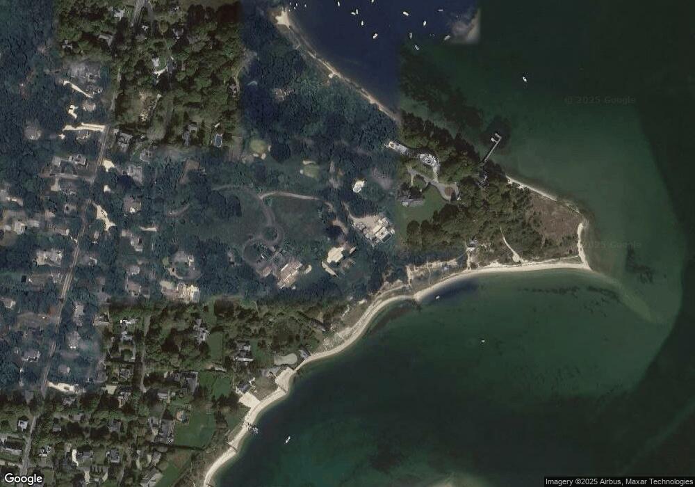
Map
- 120 Ocean View Ave
- 1089 Main St
- 1081 Main St
- 30 Wings Ln
- 33 Oyster Place Rd
- 1331 Main St
- 6 Cedar St
- 6 Cedar St
- 134 School St
- 60 Nickerson Dr
- 236 Pine Ridge Rd
- Lot 288 Seapuit River Rd A
- 440 Grand Island Dr
- 359 Santuit Rd
- 359 Santuit Rd
- Lot 289 Seapuit River Road B
- 179 Pineleigh Path
- 15 Riverview Ave Unit D
- 552 Main St
- 535 Main St
- 91 Bluff Point Dr
- 81 Bluff Point Dr
- 107 Bluff Point Dr
- 59 Bluff Point Dr
- 0 Bluff Point Dr
- 100 Cross St
- 102 Bluff Point Dr
- 100 Cross St
- 78 Bluff Point Dr
- 123 Bluff Point Dr
- 102 Bluff Point Dr
- 37 Bluff Point Dr
- 124 Bluff Point Dr
- 80 Cross St
- 40 Bluff Point Dr
- 71 Ocean View Ave
- 149 Ocean View Ave
- 131 Ocean View Ave
- 61 Ocean View Ave
- 39 Ocean View Ave
Ask me questions while you tour the home.