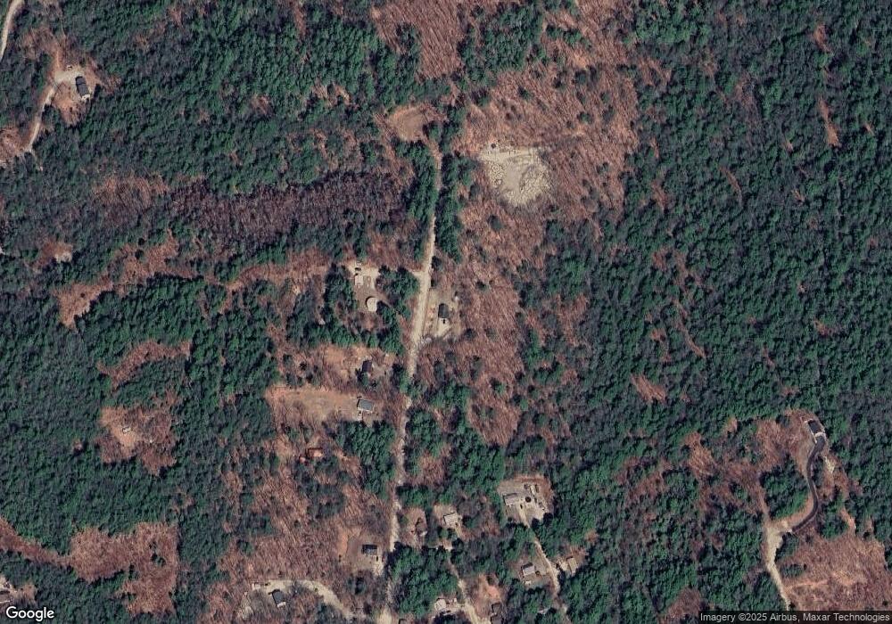
69 Patten Hill Rd Hillsborough, NH 03244
Hillsboro NeighborhoodEstimated Value: $353,000 - $535,000
2
Beds
2
Baths
1,194
Sq Ft
$344/Sq Ft
Est. Value
About This Home
This home is located at 69 Patten Hill Rd, Hillsborough, NH 03244 and is currently estimated at $410,344, approximately $343 per square foot. 69 Patten Hill Rd is a home located in Hillsborough County with nearby schools including Hillsboro-Deering Elementary School and Hillsboro-Deering High School.
Ownership History
Date
Name
Owned For
Owner Type
Purchase Details
Closed on
Aug 18, 2008
Sold by
Caissie John F and Caissie Elaine M
Bought by
Marshall Richard G and Mcphee Suzanne A
Current Estimated Value
Home Financials for this Owner
Home Financials are based on the most recent Mortgage that was taken out on this home.
Original Mortgage
$182,000
Interest Rate
6.4%
Mortgage Type
Purchase Money Mortgage
Create a Home Valuation Report for This Property
The Home Valuation Report is an in-depth analysis detailing your home's value as well as a comparison with similar homes in the area
Home Values in the Area
Average Home Value in this Area
Purchase History
| Date | Buyer | Sale Price | Title Company |
|---|---|---|---|
| Marshall Richard G | $228,000 | -- |
Source: Public Records
Mortgage History
| Date | Status | Borrower | Loan Amount |
|---|---|---|---|
| Open | Marshall Richard G | $150,400 | |
| Closed | Marshall Richard G | $184,000 | |
| Closed | Marshall Richard G | $182,000 |
Source: Public Records
Tax History Compared to Growth
Tax History
| Year | Tax Paid | Tax Assessment Tax Assessment Total Assessment is a certain percentage of the fair market value that is determined by local assessors to be the total taxable value of land and additions on the property. | Land | Improvement |
|---|---|---|---|---|
| 2024 | $6,076 | $181,707 | $62,607 | $119,100 |
| 2023 | $5,675 | $181,781 | $62,681 | $119,100 |
| 2022 | $4,859 | $182,051 | $62,951 | $119,100 |
| 2021 | $5,265 | $182,051 | $62,951 | $119,100 |
| 2020 | $5,081 | $182,021 | $62,921 | $119,100 |
| 2018 | $4,776 | $161,910 | $52,910 | $109,000 |
| 2017 | $4,929 | $161,751 | $52,751 | $109,000 |
| 2016 | $4,672 | $158,277 | $47,777 | $110,500 |
| 2015 | $4,599 | $158,318 | $47,818 | $110,500 |
| 2014 | $4,410 | $160,000 | $49,500 | $110,500 |
| 2013 | $4,488 | $159,943 | $53,243 | $106,700 |
Source: Public Records
Map
Nearby Homes
- 0 Spring St Unit 178 4855470
- 0 Spring St Unit 178 4855319
- 37 Autumn Rd
- 17 Autumn Rd
- 9 Hillside St
- 11 Hillside St
- 44 Huntington Dr
- 10 Melody Ln
- 32 Deerpoint Dr
- 0 Huntington Dr Unit 373 4855140
- 0 Huntington Dr Unit 307 4855146
- 17 Gould Pond Rd
- 32-33 Red Fox Crossing
- 98 Emerald Dr
- Lot 265 Midnight Walk
- 0 Raccoon Alley Unit 86 4855473
- 24 Raccoon Alley
- 0 Kings Row Unit 151 4855040
- 19 Boulder Pass
- 6 Birch Tree Ln
- 88 Patten Hill Rd
- 84 Patten Hill Rd
- 148 Pine Glen Rd Unit 147+148
- 73 Pine Glen Rd
- 78 Patten Hill Rd
- 41 Patten Hill Rd
- 66 Patten Hill Rd
- 0 Patten Hill Rd
- 68 Pine Glen Rd
- 65 Pine Glen Rd
- 68 Autumn Rd
- 64 Pine Glen Rd
- lot 151 Pine Glen Rd
- 67 Autumn Rd
- M13/L12 Patten Hill Rd
- 33 Patten Hill Rd
- 58 Patten Hill Rd
- 62 Pine Glen Rd
- 66 Autumn Rd
- 29 Patten Hill Rd
