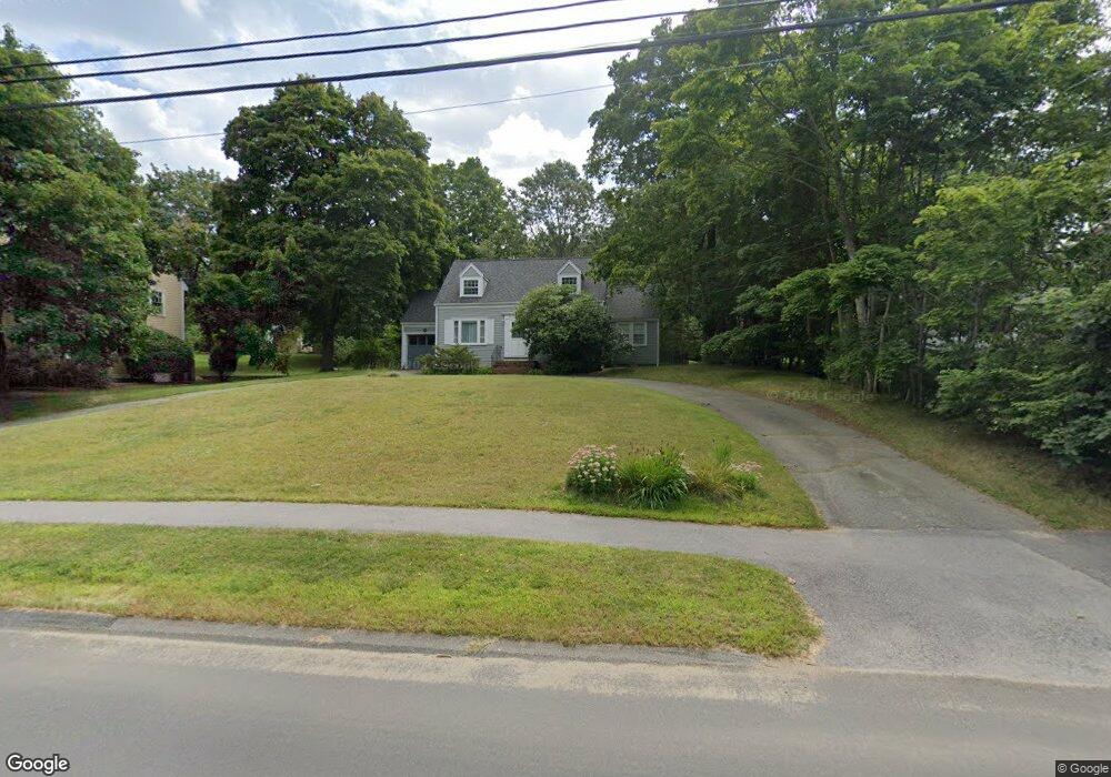
69 Paul Revere Rd Lexington, MA 02421
North Lexington NeighborhoodEstimated Value: $1,175,603 - $1,473,000
3
Beds
2
Baths
1,450
Sq Ft
$867/Sq Ft
Est. Value
About This Home
This home is located at 69 Paul Revere Rd, Lexington, MA 02421 and is currently estimated at $1,256,651, approximately $866 per square foot. 69 Paul Revere Rd is a home located in Middlesex County with nearby schools including Maria Hastings Elementary School, William Diamond Middle School, and Lexington High School.
Ownership History
Date
Name
Owned For
Owner Type
Purchase Details
Closed on
Aug 6, 1990
Sold by
Adams Ruth B
Bought by
Dorner Andrw J
Current Estimated Value
Home Financials for this Owner
Home Financials are based on the most recent Mortgage that was taken out on this home.
Original Mortgage
$110,000
Interest Rate
10.02%
Mortgage Type
Purchase Money Mortgage
Create a Home Valuation Report for This Property
The Home Valuation Report is an in-depth analysis detailing your home's value as well as a comparison with similar homes in the area
Home Values in the Area
Average Home Value in this Area
Purchase History
| Date | Buyer | Sale Price | Title Company |
|---|---|---|---|
| Dorner Andrw J | $240,000 | -- | |
| Dorner Andrw J | $240,000 | -- |
Source: Public Records
Mortgage History
| Date | Status | Borrower | Loan Amount |
|---|---|---|---|
| Open | Dorner Andrw J | $175,000 | |
| Closed | Dorner Andrw J | $135,000 | |
| Closed | Dorner Andrw J | $103,000 | |
| Closed | Dorner Andrw J | $110,000 |
Source: Public Records
Tax History Compared to Growth
Tax History
| Year | Tax Paid | Tax Assessment Tax Assessment Total Assessment is a certain percentage of the fair market value that is determined by local assessors to be the total taxable value of land and additions on the property. | Land | Improvement |
|---|---|---|---|---|
| 2025 | $11,362 | $929,000 | $686,000 | $243,000 |
| 2024 | $10,976 | $896,000 | $654,000 | $242,000 |
| 2023 | $10,504 | $808,000 | $594,000 | $214,000 |
| 2022 | $10,115 | $733,000 | $541,000 | $192,000 |
| 2021 | $3,984 | $700,000 | $515,000 | $185,000 |
| 2020 | $9,835 | $700,000 | $515,000 | $185,000 |
| 2019 | $9,376 | $664,000 | $490,000 | $174,000 |
| 2018 | $8,952 | $626,000 | $467,000 | $159,000 |
| 2017 | $3,708 | $591,000 | $431,000 | $160,000 |
| 2016 | $8,249 | $565,000 | $411,000 | $154,000 |
| 2015 | $7,906 | $532,000 | $373,000 | $159,000 |
| 2014 | $7,259 | $468,000 | $332,000 | $136,000 |
Source: Public Records
Map
Nearby Homes
- 18 Greenwood St
- 21 Balfour St
- 2380 Massachusetts Ave
- 2520 Massachusetts Ave
- 46 Asbury St
- 30 Harbell St
- 6 Revolutionary Rd
- 7 Carmel Cir
- 2663 Massachusetts Ave
- 24 Deering Ave
- 50 School St
- 19 Deering Ave
- 5 Leroy Rd
- 671 Marrett Rd
- 24 Vaille Ave
- 32 Forest St
- 93 Bedford St Unit 201
- 93 Bedford St Unit 308
- 93 Bedford St Unit 101
- 1900 Massachusetts Ave
- 67 Paul Revere Rd
- 73 Paul Revere Rd
- 75 Paul Revere Rd
- 68 Paul Revere Rd
- 63 Paul Revere Rd
- 74 Paul Revere Rd
- 70 Paul Revere Rd
- 65 Paul Revere Rd
- 21 Columbus St
- 64 Paul Revere Rd
- 76 Paul Revere Rd
- 77 Paul Revere Rd
- 80 Cedar St
- 25 Columbus St
- 27 Columbus St
- 23 Columbus St
- 31 Columbus St
- 57 Paul Revere Rd
- 17 Columbus St
- 56 Cedar St