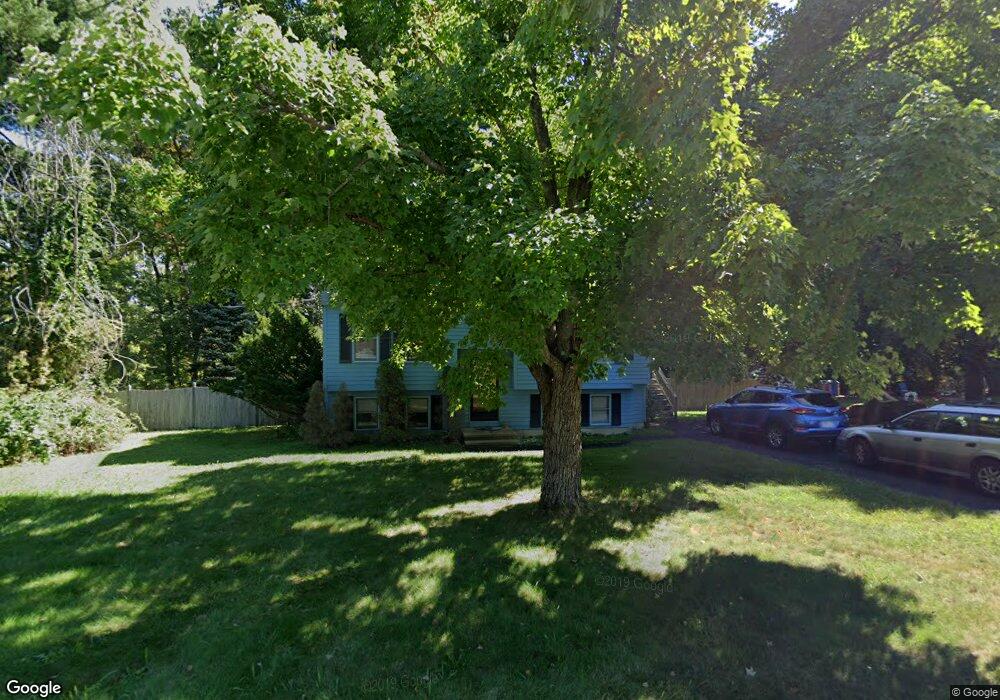
69 Quincy Rd Tewksbury, MA 01876
Estimated Value: $732,018 - $773,000
3
Beds
2
Baths
1,694
Sq Ft
$443/Sq Ft
Est. Value
About This Home
This home is located at 69 Quincy Rd, Tewksbury, MA 01876 and is currently estimated at $750,255, approximately $442 per square foot. 69 Quincy Rd is a home located in Middlesex County with nearby schools including John F. Ryan Elementary School, John W. Wynn Middle School, and Tewksbury Memorial High School.
Create a Home Valuation Report for This Property
The Home Valuation Report is an in-depth analysis detailing your home's value as well as a comparison with similar homes in the area
Home Values in the Area
Average Home Value in this Area
Tax History Compared to Growth
Tax History
| Year | Tax Paid | Tax Assessment Tax Assessment Total Assessment is a certain percentage of the fair market value that is determined by local assessors to be the total taxable value of land and additions on the property. | Land | Improvement |
|---|---|---|---|---|
| 2025 | $7,484 | $566,100 | $282,300 | $283,800 |
| 2024 | $7,200 | $537,700 | $268,800 | $268,900 |
| 2023 | $6,960 | $493,600 | $244,400 | $249,200 |
| 2022 | $6,413 | $421,900 | $212,500 | $209,400 |
| 2021 | $6,271 | $398,900 | $193,300 | $205,600 |
| 2020 | $6,080 | $380,700 | $184,000 | $196,700 |
| 2019 | $5,732 | $361,900 | $175,300 | $186,600 |
| 2018 | $5,544 | $343,700 | $175,300 | $168,400 |
| 2017 | $5,273 | $323,300 | $175,300 | $148,000 |
| 2016 | $5,086 | $311,100 | $175,300 | $135,800 |
| 2015 | $5,003 | $305,600 | $170,000 | $135,600 |
| 2014 | $4,741 | $294,300 | $170,000 | $124,300 |
Source: Public Records
Map
Nearby Homes
- 93 Vale St
- 5 Kensington Way Unit 5
- 120 Judique Rd
- 110 Royal Crest Cir
- 58 Blanchard St
- 109 Apache Way
- 14 Blanchard St
- 71 Apache Way Unit 71
- 7 Stouffer Cir
- 837 Livingston St
- 51 Nolan Ct Unit 51
- 261 Apache Way
- 906 Old Shawsheen St
- 18 Dale St Unit 4G
- 4 Alonesos Way
- 20 Meredith Rd
- 22 Haggetts Pond Rd
- 14 Geneva Rd
- 15 Geneva Rd
- 127 Caddy Ct