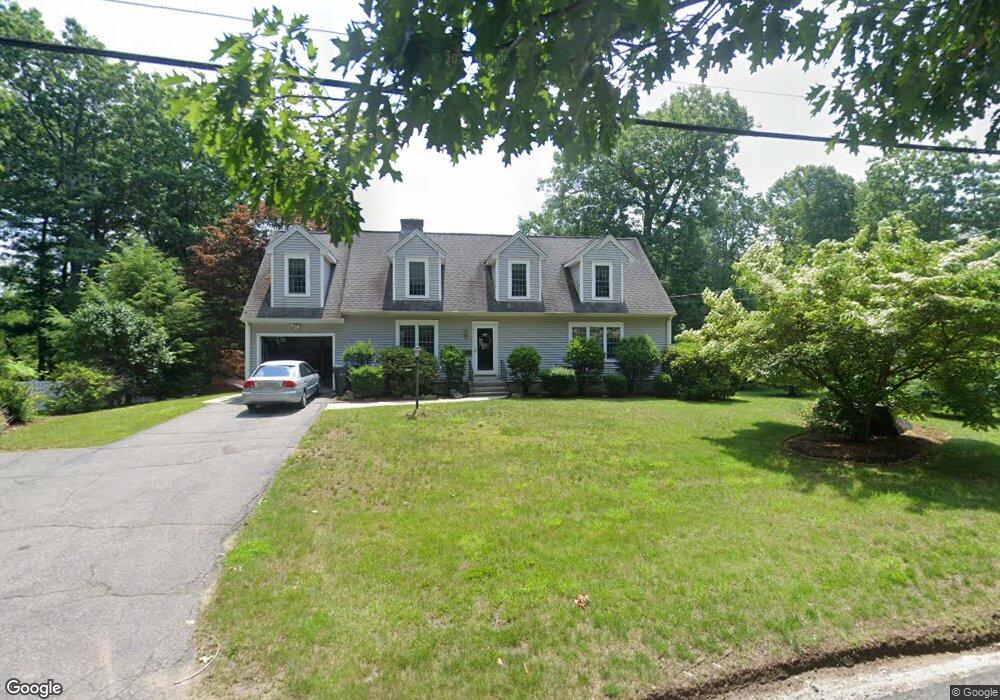
69 Raymond St Holden, MA 01520
Estimated Value: $556,000 - $652,000
3
Beds
3
Baths
2,122
Sq Ft
$288/Sq Ft
Est. Value
About This Home
This home is located at 69 Raymond St, Holden, MA 01520 and is currently estimated at $610,295, approximately $287 per square foot. 69 Raymond St is a home located in Worcester County with nearby schools including Wachusett Regional High School, Holden Christian Academy, and Bancroft School.
Ownership History
Date
Name
Owned For
Owner Type
Purchase Details
Closed on
Mar 28, 2022
Sold by
Murphy Patrick J
Bought by
Patrick J Murphy Ret
Current Estimated Value
Purchase Details
Closed on
Aug 13, 1992
Sold by
Fife Clifford W and Fife Dorothy
Bought by
Murphy Patrick J and Murphy Kathleen
Home Financials for this Owner
Home Financials are based on the most recent Mortgage that was taken out on this home.
Original Mortgage
$75,000
Interest Rate
8.26%
Mortgage Type
Purchase Money Mortgage
Create a Home Valuation Report for This Property
The Home Valuation Report is an in-depth analysis detailing your home's value as well as a comparison with similar homes in the area
Home Values in the Area
Average Home Value in this Area
Purchase History
| Date | Buyer | Sale Price | Title Company |
|---|---|---|---|
| Patrick J Murphy Ret | -- | None Available | |
| Murphy Patrick J | $142,000 | -- |
Source: Public Records
Mortgage History
| Date | Status | Borrower | Loan Amount |
|---|---|---|---|
| Previous Owner | Murphy Patrick J | $10,000 | |
| Previous Owner | Murphy Patrick J | $120,000 | |
| Previous Owner | Murphy Patrick J | $75,000 |
Source: Public Records
Tax History Compared to Growth
Tax History
| Year | Tax Paid | Tax Assessment Tax Assessment Total Assessment is a certain percentage of the fair market value that is determined by local assessors to be the total taxable value of land and additions on the property. | Land | Improvement |
|---|---|---|---|---|
| 2025 | $7,128 | $514,300 | $167,100 | $347,200 |
| 2024 | $7,188 | $508,000 | $162,300 | $345,700 |
| 2023 | $6,787 | $452,800 | $141,100 | $311,700 |
| 2022 | $6,564 | $396,400 | $110,200 | $286,200 |
| 2021 | $6,361 | $365,600 | $104,900 | $260,700 |
| 2020 | $6,095 | $358,500 | $99,900 | $258,600 |
| 2019 | $5,847 | $335,100 | $99,900 | $235,200 |
| 2018 | $5,718 | $324,700 | $95,000 | $229,700 |
| 2017 | $5,295 | $301,000 | $95,000 | $206,000 |
| 2016 | $4,966 | $287,900 | $90,500 | $197,400 |
| 2015 | $5,061 | $279,300 | $90,500 | $188,800 |
| 2014 | $4,958 | $279,300 | $90,500 | $188,800 |
Source: Public Records
Map
Nearby Homes
- 33 Meadow Wood Dr
- 8 (Lot 1) Holmes Dr
- 8 Dawson Cir
- 124 Bailey Rd
- 9 Holmes Dr
- 7 Holmes Dr
- 56 Highland Ave
- 33 Thorny Lea Rd
- 216 Reservoir St Unit 103
- 216 Reservoir St Unit 309
- 300 Malden St
- 206 Wachusett St
- 289 Bailey Rd
- 26 Avery Heights Dr
- 47 Banbury Ln
- 9 Short St
- 141 Lovell Rd
- 168 Twinbrooke Dr
- 3 Oakridge Rd
- 100 Avery Heights Dr