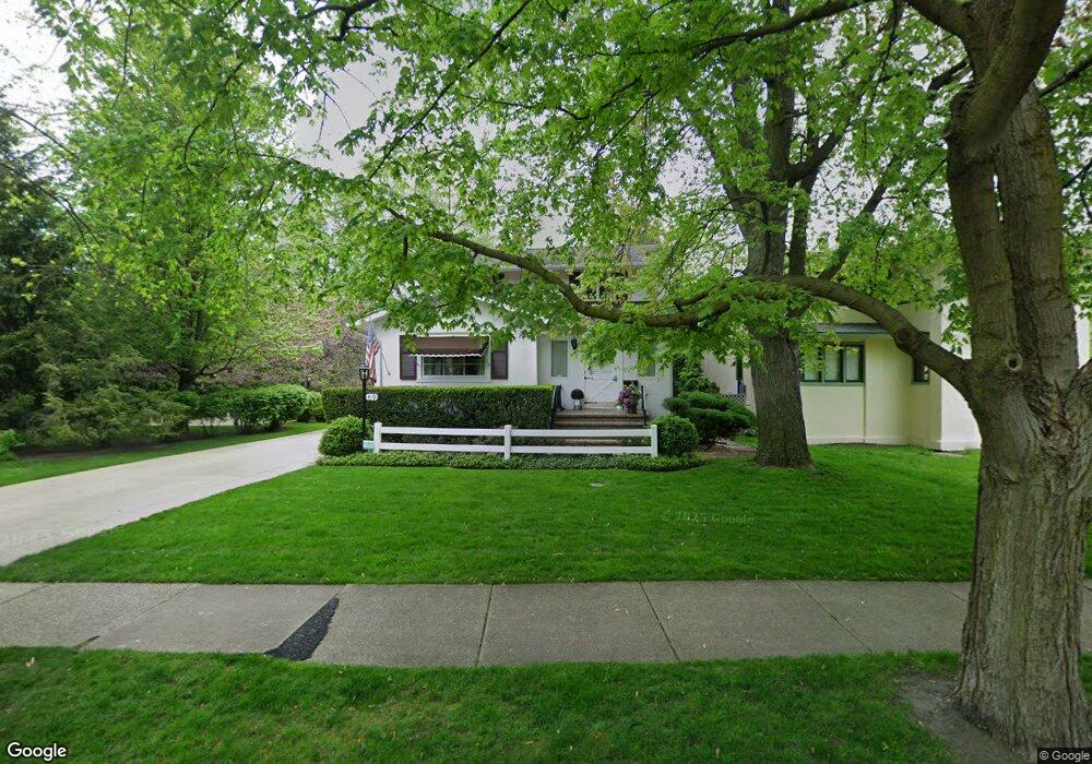
69 S Herbert Rd Riverside, IL 60546
Estimated Value: $460,000 - $647,000
3
Beds
2
Baths
1,934
Sq Ft
$282/Sq Ft
Est. Value
About This Home
This home is located at 69 S Herbert Rd, Riverside, IL 60546 and is currently estimated at $545,598, approximately $282 per square foot. 69 S Herbert Rd is a home located in Cook County with nearby schools including Central Elementary School, L J Hauser Jr High School, and Riverside Brookfield High School.
Ownership History
Date
Name
Owned For
Owner Type
Purchase Details
Closed on
Oct 30, 2013
Sold by
Przybylski Lorelei A
Bought by
Chicago Title Land Trust Co and Trust Number 1572
Current Estimated Value
Purchase Details
Closed on
Apr 30, 2013
Sold by
Chicago Title Land Trust Co
Bought by
Przybylski Lorelei A
Purchase Details
Closed on
Mar 28, 2011
Sold by
Przybylski Lorelei A
Bought by
Chicago Title Land Trust and Chicago Title Land Trust
Purchase Details
Closed on
Oct 29, 2007
Sold by
Chicago Title Land Trust Co
Bought by
Przybylski Lorelei A
Home Financials for this Owner
Home Financials are based on the most recent Mortgage that was taken out on this home.
Original Mortgage
$250,000
Interest Rate
6.47%
Mortgage Type
Unknown
Create a Home Valuation Report for This Property
The Home Valuation Report is an in-depth analysis detailing your home's value as well as a comparison with similar homes in the area
Home Values in the Area
Average Home Value in this Area
Purchase History
| Date | Buyer | Sale Price | Title Company |
|---|---|---|---|
| Chicago Title Land Trust Co | -- | None Available | |
| Przybylski Lorelei A | -- | Chicago Title Insurance Comp | |
| Chicago Title Land Trust | -- | -- | |
| Chicago Title Land Trust | -- | -- | |
| Chicago Title Land Trust | -- | -- | |
| Przybylski Lorelei A | -- | Chicago Title Land Trust Co |
Source: Public Records
Mortgage History
| Date | Status | Borrower | Loan Amount |
|---|---|---|---|
| Previous Owner | Przybylski Lorelei A | $250,000 |
Source: Public Records
Tax History
| Year | Tax Paid | Tax Assessment Tax Assessment Total Assessment is a certain percentage of the fair market value that is determined by local assessors to be the total taxable value of land and additions on the property. | Land | Improvement |
|---|---|---|---|---|
| 2025 | $4,996 | $40,000 | $5,004 | $34,996 |
| 2024 | $4,996 | $40,000 | $5,004 | $34,996 |
| 2023 | $6,171 | $40,000 | $5,004 | $34,996 |
| 2022 | $6,171 | $37,188 | $4,379 | $32,809 |
| 2021 | $5,773 | $37,187 | $4,378 | $32,809 |
| 2020 | $5,202 | $37,187 | $4,378 | $32,809 |
| 2019 | $5,685 | $30,112 | $4,003 | $26,109 |
| 2018 | $5,528 | $30,112 | $4,003 | $26,109 |
| 2017 | $5,255 | $36,361 | $4,003 | $32,358 |
| 2016 | $6,671 | $28,025 | $3,502 | $24,523 |
| 2015 | $6,847 | $29,611 | $3,502 | $26,109 |
| 2014 | $6,590 | $29,611 | $3,502 | $26,109 |
| 2013 | $6,223 | $36,092 | $3,502 | $32,590 |
Source: Public Records
Map
Nearby Homes
- 280 Blackhawk Rd
- 262 Lionel Rd
- 176 Riverside Rd
- 303 Lionel Rd
- 269 Shenstone Rd
- 369 Addison Rd
- 7336 39th St
- 7330 39th St
- 7048 35th St
- 10 E Burlington St Unit 2C
- 10 E Burlington St Unit 2B
- 7335 Oakwood Ave Unit P-10
- 7335 Oakwood Ave Unit P-12
- 7335 Oakwood Ave Unit P-8
- 7335 Oakwood Ave Unit P-11
- 7335 Oakwood Ave Unit P-14
- 7316 40th St Unit 2E
- 7316 40th St Unit P-9
- 7316 40th St Unit P-10
- 7316 40th St Unit P-13
Your Personal Tour Guide
Ask me questions while you tour the home.