69 Sparrowhawk Rd New London, NH 03257
Estimated Value: $569,000 - $965,000
3
Beds
2
Baths
2,893
Sq Ft
$252/Sq Ft
Est. Value
About This Home
This home is located at 69 Sparrowhawk Rd, New London, NH 03257 and is currently estimated at $728,231, approximately $251 per square foot. 69 Sparrowhawk Rd is a home with nearby schools including Kearsarge Elementary School - New London, Kearsarge Regional Middle School, and Kearsarge Regional High School.
Ownership History
Date
Name
Owned For
Owner Type
Purchase Details
Closed on
Nov 3, 2003
Sold by
Pope Stephen W and Pope V
Bought by
Stockwell Richard A and Stockwell Mary E
Current Estimated Value
Home Financials for this Owner
Home Financials are based on the most recent Mortgage that was taken out on this home.
Original Mortgage
$220,000
Outstanding Balance
$102,347
Interest Rate
6.05%
Estimated Equity
$625,884
Create a Home Valuation Report for This Property
The Home Valuation Report is an in-depth analysis detailing your home's value as well as a comparison with similar homes in the area
Home Values in the Area
Average Home Value in this Area
Purchase History
| Date | Buyer | Sale Price | Title Company |
|---|---|---|---|
| Stockwell Richard A | $250,000 | -- |
Source: Public Records
Mortgage History
| Date | Status | Borrower | Loan Amount |
|---|---|---|---|
| Open | Stockwell Richard A | $46,722 | |
| Open | Stockwell Richard A | $220,000 |
Source: Public Records
Tax History Compared to Growth
Tax History
| Year | Tax Paid | Tax Assessment Tax Assessment Total Assessment is a certain percentage of the fair market value that is determined by local assessors to be the total taxable value of land and additions on the property. | Land | Improvement |
|---|---|---|---|---|
| 2024 | $5,104 | $439,600 | $162,000 | $277,600 |
| 2023 | $4,752 | $439,600 | $162,000 | $277,600 |
| 2022 | $4,598 | $289,900 | $84,900 | $205,000 |
| 2021 | $4,462 | $289,900 | $84,900 | $205,000 |
| 2020 | $4,324 | $289,400 | $84,900 | $204,500 |
| 2019 | $4,257 | $289,400 | $84,900 | $204,500 |
| 2018 | $2,536 | $268,800 | $91,300 | $177,500 |
| 2017 | $2,584 | $268,800 | $91,300 | $177,500 |
| 2016 | $2,529 | $268,800 | $91,300 | $177,500 |
| 2015 | $4,153 | $268,800 | $91,300 | $177,500 |
| 2014 | $4,115 | $268,800 | $91,300 | $177,500 |
| 2013 | $4,808 | $319,500 | $95,700 | $223,800 |
Source: Public Records
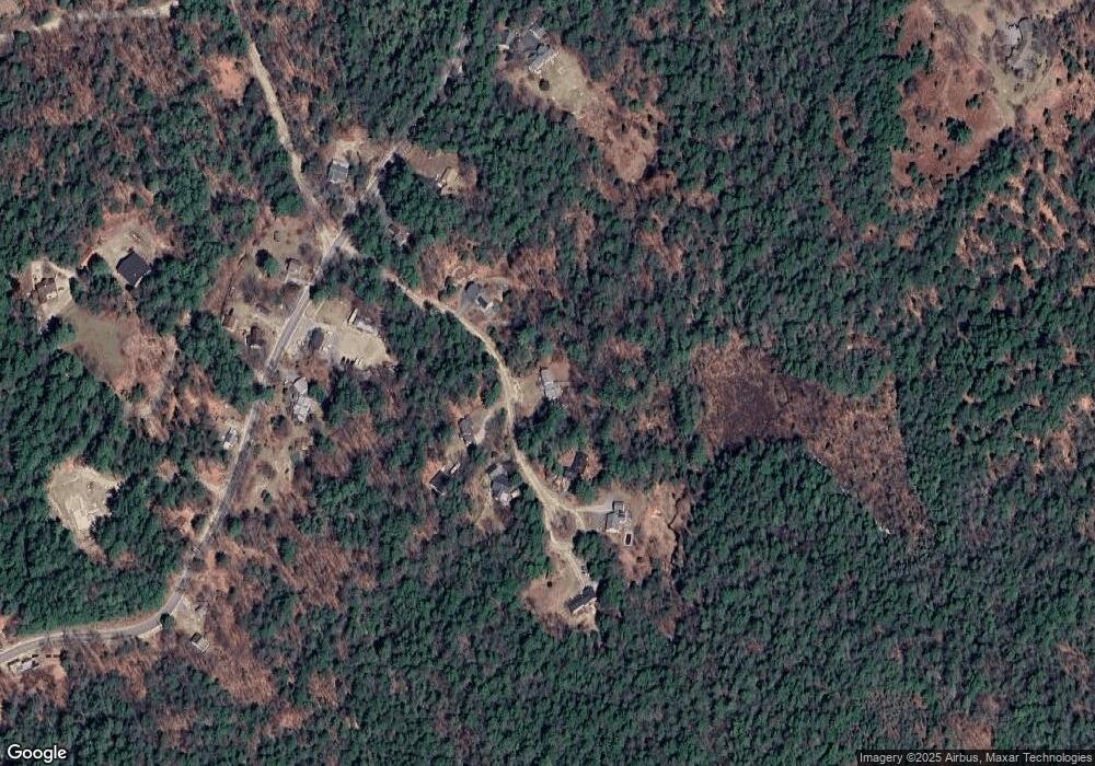
Map
Nearby Homes
- 0 Quiet Cove Way Unit 5
- 24 Mountain Overlook
- Lot 8 Stone Bridge Rd
- Lot 16 Granite Hill Rd
- 155 Wilder Ln
- 000 Shaker Rd Unit 288
- 58 Kearsarge Rd
- 49 Pedrick Rd
- 133 Nh Route 4a
- 221 Campground Rd
- 295 Andover Rd
- 62 Patterson Rd
- 0 Fairway Ln Unit 8
- 385 Seamans Rd
- 303 Route 4a
- 27 Pipers Glen
- 158 Quail Run
- 712 Sugarhouse Rd
- 0 Howe Rd Unit 4996459
- 555 Shaker Rd
- 35 Sparrowhawk Rd
- 93 Sparrowhawk Rd
- 86 Sparrowhawk Rd
- 416 Wilmot Center Rd
- 416 Wilmot Center Rd
- 350 Wilmot Center Rd
- 108 Sparrowhawk Rd
- 108 Sparrowhawk Rd
- 409 Wilmot Center Rd
- 17 Wilmot Center Rd
- 17 Wilmot Center Rd
- 151 Wilmot Center Rd
- 189 Wilmot Center Rd
- 00 Wilmot Center Rd
- 00 Wilmot Center
- 335 Wilmot Center Rd
- 375 Wilmot Center Rd
- 349 Wilmot Center Rd
- 359 Wilmot Center Rd
- 606 Wilmot Center