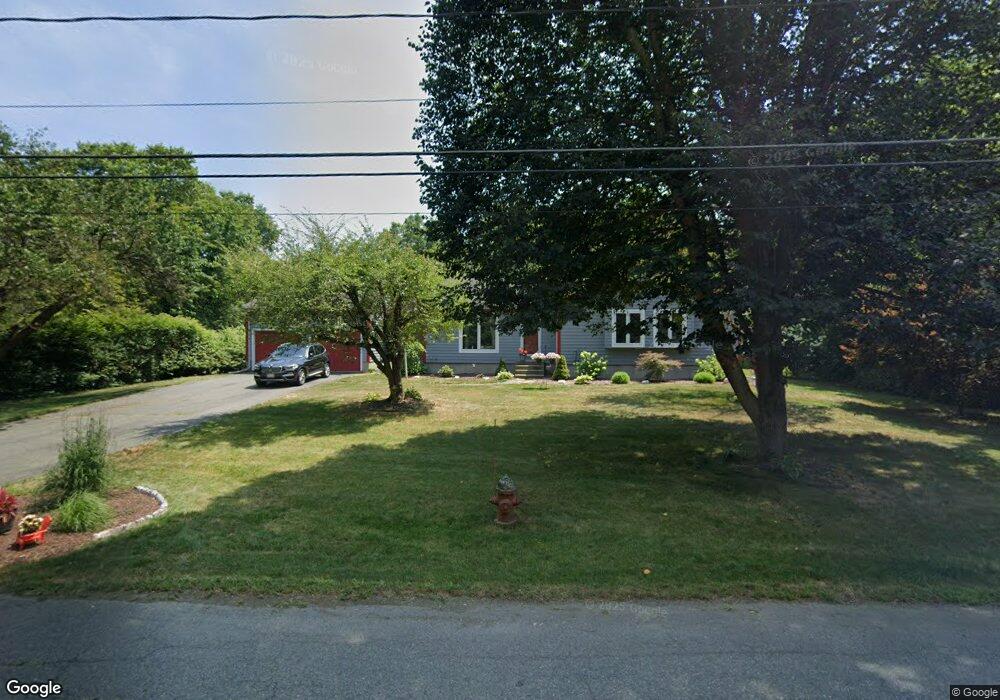
69 State St Amherst, MA 01002
Estimated Value: $440,548 - $496,000
3
Beds
2
Baths
1,256
Sq Ft
$369/Sq Ft
Est. Value
About This Home
This home is located at 69 State St, Amherst, MA 01002 and is currently estimated at $463,637, approximately $369 per square foot. 69 State St is a home located in Hampshire County with nearby schools including Wildwood Elementary School, Amherst Regional Middle School, and Amherst Regional High School.
Ownership History
Date
Name
Owned For
Owner Type
Purchase Details
Closed on
Nov 5, 2013
Sold by
Davis Derek V and Allen-Davis Joyce
Bought by
Davis Derek
Current Estimated Value
Purchase Details
Closed on
Dec 24, 1990
Sold by
Holt Bradford
Bought by
Davis Derek
Home Financials for this Owner
Home Financials are based on the most recent Mortgage that was taken out on this home.
Original Mortgage
$114,500
Interest Rate
10.02%
Mortgage Type
Purchase Money Mortgage
Create a Home Valuation Report for This Property
The Home Valuation Report is an in-depth analysis detailing your home's value as well as a comparison with similar homes in the area
Home Values in the Area
Average Home Value in this Area
Purchase History
| Date | Buyer | Sale Price | Title Company |
|---|---|---|---|
| Davis Derek | -- | -- | |
| Davis Derek | $124,500 | -- |
Source: Public Records
Mortgage History
| Date | Status | Borrower | Loan Amount |
|---|---|---|---|
| Previous Owner | Davis Derek | $118,000 | |
| Previous Owner | Davis Derek | $114,850 | |
| Previous Owner | Davis Derek | $114,500 |
Source: Public Records
Tax History
| Year | Tax Paid | Tax Assessment Tax Assessment Total Assessment is a certain percentage of the fair market value that is determined by local assessors to be the total taxable value of land and additions on the property. | Land | Improvement |
|---|---|---|---|---|
| 2025 | $65 | $364,000 | $159,800 | $204,200 |
| 2024 | $6,371 | $344,200 | $150,800 | $193,400 |
| 2023 | $6,110 | $304,000 | $137,200 | $166,800 |
| 2022 | $5,847 | $274,900 | $124,700 | $150,200 |
| 2021 | $5,560 | $254,800 | $115,500 | $139,300 |
| 2020 | $5,432 | $254,800 | $115,500 | $139,300 |
| 2019 | $5,282 | $242,300 | $115,500 | $126,800 |
| 2018 | $5,101 | $241,300 | $115,500 | $125,800 |
| 2017 | $4,938 | $226,200 | $110,100 | $116,100 |
| 2016 | $4,800 | $226,200 | $110,100 | $116,100 |
| 2015 | $4,646 | $226,200 | $110,100 | $116,100 |
Source: Public Records
Map
Nearby Homes
- 12 Teawaddle Ln
- 185 Cherry Ln
- 0 Henry St
- Lot A Kingman Rd
- 39 Valley Ln
- Lot 3A-3 Leverett Rd
- 11 Overlook Dr
- 113 Juggler Meadow Rd
- 60 Overlook Dr
- Lot 3 Roosevelt St
- 6 Shattuck Rd
- 38 S Plain Rd
- 3 Frost Ln
- 60 Red Gate Ln
- 15 S Plain Rd
- 0 Red Gate Ln Unit 73348273
- 270 N East St
- Lot A January Hills Rd
- Lot 2, January Hills Rd
- 174 Lincoln Ave
- 64 State St
- 188 Pine St
- 81 State St
- 12 Pine Hollow Unit 12
- 216 Pine St
- 180 Pine St
- 11 Pine Hollow
- 89 State St
- 87 State St
- 226 Pine St
- 177 Pine St
- 170 Pine St
- 21 Pine Hollow Unit 21
- 15 Pine Hollow Unit 15
- 54 Pine Hollow Unit 54
- 161 Pine St Unit 2A
- 161 Pine St Unit 2C
- 161 Pine St Unit 2B
- 161 Pine St Unit 1H
- 161 Pine St Unit 1G
Your Personal Tour Guide
Ask me questions while you tour the home.