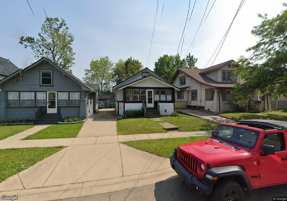
69 Summer St Battle Creek, MI 49015
Central Battle Creek NeighborhoodEstimated Value: $110,000 - $144,000
2
Beds
1
Bath
748
Sq Ft
$168/Sq Ft
Est. Value
About This Home
This home is located at 69 Summer St, Battle Creek, MI 49015 and is currently estimated at $125,940, approximately $168 per square foot. 69 Summer St is a home located in Calhoun County with nearby schools including Ann J. Kellogg School, Springfield Middle School, and Battle Creek Central High School.
Ownership History
Date
Name
Owned For
Owner Type
Purchase Details
Closed on
Jun 15, 2016
Sold by
Rosewater Gwen
Bought by
Rhule Robert Alan
Current Estimated Value
Purchase Details
Closed on
Jun 28, 2006
Sold by
Clark Ernie
Bought by
Rosewater Gwen and Clark Ernie
Purchase Details
Closed on
Jul 14, 2004
Sold by
Guardian Inc
Bought by
Clark Ernie M
Purchase Details
Closed on
Jul 9, 2003
Sold by
Clark Dorothy
Purchase Details
Closed on
Apr 27, 1994
Sold by
Connell Korby M and Connell Terri L
Bought by
Clark Estate Dorothy and Clark Estate Clark,Ernie M
Create a Home Valuation Report for This Property
The Home Valuation Report is an in-depth analysis detailing your home's value as well as a comparison with similar homes in the area
Home Values in the Area
Average Home Value in this Area
Purchase History
| Date | Buyer | Sale Price | Title Company |
|---|---|---|---|
| Rhule Robert Alan | $25,000 | Devon Title Agency | |
| Rosewater Gwen | -- | First American Title Ins Co | |
| Clark Ernie M | -- | -- | |
| -- | -- | -- | |
| Clark Estate Dorothy | $30,000 | -- |
Source: Public Records
Tax History Compared to Growth
Tax History
| Year | Tax Paid | Tax Assessment Tax Assessment Total Assessment is a certain percentage of the fair market value that is determined by local assessors to be the total taxable value of land and additions on the property. | Land | Improvement |
|---|---|---|---|---|
| 2025 | -- | $41,700 | $0 | $0 |
| 2024 | $691 | $39,213 | $0 | $0 |
| 2023 | $789 | $32,178 | $0 | $0 |
| 2022 | $624 | $26,771 | $0 | $0 |
| 2021 | $745 | $24,429 | $0 | $0 |
| 2020 | $700 | $22,969 | $0 | $0 |
| 2019 | $698 | $18,307 | $0 | $0 |
| 2018 | $698 | $17,836 | $524 | $17,312 |
| 2017 | $791 | $14,756 | $0 | $0 |
| 2016 | $786 | $15,324 | $0 | $0 |
| 2015 | $643 | $14,905 | $1,474 | $13,431 |
| 2014 | $643 | $13,957 | $1,474 | $12,483 |
Source: Public Records
Map
Nearby Homes
- 235 Fairfield Ave
- 127 W Territorial Rd
- 137 Fairfield Ave
- 41 Randolph St
- 32 Territorial Rd E
- 100 Eldred St
- 184 Territorial Rd W
- 296 Meachem Ave
- 247 Iroquois Ave
- 35 Eldred St
- 1 Grand Blvd
- 71 Burnham St W
- 236 Burnham St W
- 547 Wentworth Ave
- 348 Lakeview Ave
- 15 Marine Dr
- 57 Boulder St
- 256 Burr St
- 49 N La Vista Blvd
- 251 Columbia Ave W Unit 1