69 Watcha Path Edgartown, MA 02539
Edgartown NeighborhoodEstimated Value: $1,128,000 - $1,419,000
3
Beds
2
Baths
1,328
Sq Ft
$958/Sq Ft
Est. Value
About This Home
This home is located at 69 Watcha Path, Edgartown, MA 02539 and is currently estimated at $1,272,120, approximately $957 per square foot. 69 Watcha Path is a home located in Dukes County with nearby schools including Edgartown Elementary School and Martha's Vineyard Regional High School.
Ownership History
Date
Name
Owned For
Owner Type
Purchase Details
Closed on
Jul 12, 2017
Sold by
Mance David T and Mance Cheryl M
Bought by
Mance Rt
Current Estimated Value
Purchase Details
Closed on
Dec 21, 1998
Sold by
Oconnor Robert T and Stanley Carrie
Bought by
Mance David T and Mance Cheryl M
Home Financials for this Owner
Home Financials are based on the most recent Mortgage that was taken out on this home.
Original Mortgage
$111,000
Interest Rate
6.85%
Mortgage Type
Purchase Money Mortgage
Create a Home Valuation Report for This Property
The Home Valuation Report is an in-depth analysis detailing your home's value as well as a comparison with similar homes in the area
Home Values in the Area
Average Home Value in this Area
Purchase History
| Date | Buyer | Sale Price | Title Company |
|---|---|---|---|
| Mance Rt | -- | -- | |
| Mance David T | $198,000 | -- |
Source: Public Records
Mortgage History
| Date | Status | Borrower | Loan Amount |
|---|---|---|---|
| Previous Owner | Mance David T | $111,000 |
Source: Public Records
Tax History
| Year | Tax Paid | Tax Assessment Tax Assessment Total Assessment is a certain percentage of the fair market value that is determined by local assessors to be the total taxable value of land and additions on the property. | Land | Improvement |
|---|---|---|---|---|
| 2025 | $2,768 | $1,044,500 | $363,200 | $681,300 |
| 2024 | $2,428 | $952,100 | $363,200 | $588,900 |
| 2023 | $2,518 | $999,300 | $444,600 | $554,700 |
| 2022 | $2,542 | $839,100 | $469,300 | $369,800 |
| 2021 | $2,421 | $738,000 | $427,100 | $310,900 |
| 2020 | $2,410 | $719,400 | $427,100 | $292,300 |
| 2019 | $2,697 | $696,900 | $404,600 | $292,300 |
| 2018 | $2,394 | $618,600 | $404,600 | $214,000 |
| 2017 | $2,355 | $663,500 | $449,500 | $214,000 |
| 2016 | $2,084 | $575,600 | $384,600 | $191,000 |
| 2015 | -- | $583,300 | $384,600 | $198,700 |
Source: Public Records
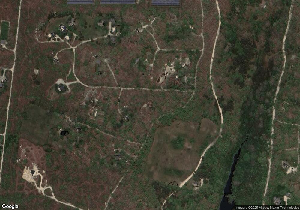
Map
Nearby Homes
- 25 Coffins Field Rd
- 25 Coffins Field Rd Unit 18
- 25 Vineyard Meadow Farms Rd
- 111 Charles Neck Way
- 2 Bold Meadow Rd
- 3 Jacobs Neck Road (North Lot 1) Unit 2
- 60 Saddle Club Rd
- 5 Candle Maker Cir
- 5 Candle Maker Cir Unit 1.331
- 36 Boylston Dr
- 36 Boylston Dr Unit 1.329
- 11 Boylston Dr Unit 1.314
- 11 Boylston Dr
- 25 Boylston Dr
- 52 Windsor Dr
- 32 Edgartown - West Tisbury Rd Unit 81
- 2 Old Farms Trail Unit 1
- 2 Old Farms Trail
- 501 W Tisbury Rd Unit 2.1
- 501 W Tisbury Rd
Your Personal Tour Guide
Ask me questions while you tour the home.