69 West Point Rd Moultonborough, NH 03254
Estimated Value: $561,790 - $2,829,000
3
Beds
2
Baths
1,975
Sq Ft
$638/Sq Ft
Est. Value
About This Home
This home is located at 69 West Point Rd, Moultonborough, NH 03254 and is currently estimated at $1,259,698, approximately $637 per square foot. 69 West Point Rd is a home located in Carroll County with nearby schools including Moultonborough Central School and Moultonborough Academy High School.
Ownership History
Date
Name
Owned For
Owner Type
Purchase Details
Closed on
Nov 2, 2012
Sold by
Hunter William T and Hunter Elizabeth M
Bought by
Hunter Elizabeth M
Current Estimated Value
Purchase Details
Closed on
Aug 1, 1990
Bought by
Hunter Elizabeth M
Create a Home Valuation Report for This Property
The Home Valuation Report is an in-depth analysis detailing your home's value as well as a comparison with similar homes in the area
Home Values in the Area
Average Home Value in this Area
Purchase History
| Date | Buyer | Sale Price | Title Company |
|---|---|---|---|
| Hunter Elizabeth M | -- | -- | |
| Hunter Elizabeth M | -- | -- |
Source: Public Records
Tax History Compared to Growth
Tax History
| Year | Tax Paid | Tax Assessment Tax Assessment Total Assessment is a certain percentage of the fair market value that is determined by local assessors to be the total taxable value of land and additions on the property. | Land | Improvement |
|---|---|---|---|---|
| 2024 | $2,492 | $441,000 | $207,800 | $233,200 |
| 2023 | $2,107 | $369,600 | $159,000 | $210,600 |
| 2022 | $1,606 | $336,000 | $143,200 | $192,800 |
| 2021 | $1,978 | $283,400 | $117,100 | $166,300 |
| 2020 | $1,849 | $259,300 | $105,400 | $153,900 |
| 2019 | $1,789 | $250,200 | $105,200 | $145,000 |
| 2018 | $1,878 | $243,200 | $97,500 | $145,700 |
| 2017 | $1,928 | $234,600 | $97,500 | $137,100 |
| 2016 | $1,975 | $226,000 | $97,500 | $128,500 |
| 2015 | $1,869 | $207,400 | $92,000 | $115,400 |
| 2014 | $1,862 | $210,200 | $92,000 | $118,200 |
| 2013 | $1,827 | $210,200 | $92,000 | $118,200 |
Source: Public Records
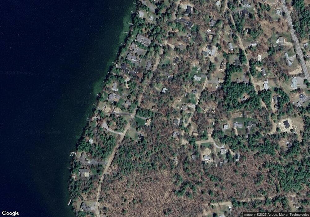
Map
Nearby Homes
- 10 Woodridge Rd
- 167 Long Island Rd
- 16 Long Island Rd
- 00 Rivers Rd
- 00 Beede Rd
- 9 Starboard Ln Unit 1
- 14 Island View Dr
- 31 Rays Way
- 5 Ferry Rd
- 7 Flint Dr
- 19 Wawbeek Rd Unit one
- 323 Governor Wentworth Hwy
- 29 Kona Farm Rd
- 4 Mill Pond Rd
- 27 First Point Rd
- 21 Orton Ln
- 67 Hoyt Mill Rd
- 24 Shirley Way
- 30 Leopards Leap
- 4 Partridge Berry Cir
- 71 West Point Rd
- 1 Devens Island
- 61 West Point Rd
- 61 W Point Rd
- 50 Woodrin Rd
- 62 Woodrin Rd
- 75 W Point Rd
- 75 West Point Rd
- 64 Woodrin Rd
- 59 W Point Rd
- 59 West Point Rd
- 70 West Point Rd
- 48 Woodrin Rd
- 66 West Point Rd
- 64 W Point Rd
- 71 Woodrin Rd
- 76 W Point Rd
- 57 Woodrin Rd
- 62 West Point Rd
- 42 Woodrin Rd