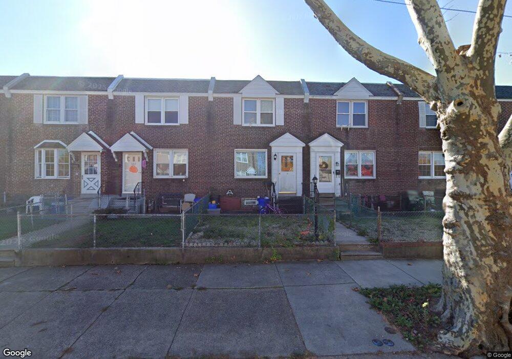
690 2nd Ave Bristol, PA 19007
Estimated Value: $254,000 - $273,000
3
Beds
1
Bath
1,024
Sq Ft
$257/Sq Ft
Est. Value
About This Home
This home is located at 690 2nd Ave, Bristol, PA 19007 and is currently estimated at $262,895, approximately $256 per square foot. 690 2nd Ave is a home located in Bucks County with nearby schools including Snyder-Girotti Elementary School, Bristol High School, and St. Mark Elementary School.
Ownership History
Date
Name
Owned For
Owner Type
Purchase Details
Closed on
Jan 31, 2024
Sold by
Paradissis Allison R
Bought by
Paradissis Thomas M and Paradissis Kadin
Current Estimated Value
Purchase Details
Closed on
Jul 25, 2016
Sold by
Bednar Constance C
Bought by
Davis Allison
Home Financials for this Owner
Home Financials are based on the most recent Mortgage that was taken out on this home.
Original Mortgage
$93,279
Interest Rate
3.75%
Mortgage Type
FHA
Purchase Details
Closed on
Nov 5, 1973
Sold by
Edmonsdon George T
Bought by
Bednar Joseph M and Bednar Constance C
Create a Home Valuation Report for This Property
The Home Valuation Report is an in-depth analysis detailing your home's value as well as a comparison with similar homes in the area
Home Values in the Area
Average Home Value in this Area
Purchase History
| Date | Buyer | Sale Price | Title Company |
|---|---|---|---|
| Paradissis Thomas M | -- | None Listed On Document | |
| Davis Allison | $95,000 | None Available | |
| Bednar Joseph M | -- | -- |
Source: Public Records
Mortgage History
| Date | Status | Borrower | Loan Amount |
|---|---|---|---|
| Previous Owner | Davis Allison | $93,279 |
Source: Public Records
Tax History Compared to Growth
Tax History
| Year | Tax Paid | Tax Assessment Tax Assessment Total Assessment is a certain percentage of the fair market value that is determined by local assessors to be the total taxable value of land and additions on the property. | Land | Improvement |
|---|---|---|---|---|
| 2025 | $3,632 | $15,600 | $2,640 | $12,960 |
| 2024 | $3,632 | $15,600 | $2,640 | $12,960 |
| 2023 | $3,601 | $15,600 | $2,640 | $12,960 |
| 2022 | $3,601 | $15,600 | $2,640 | $12,960 |
| 2021 | $3,601 | $15,600 | $2,640 | $12,960 |
| 2020 | $3,703 | $15,600 | $2,640 | $12,960 |
| 2019 | $3,687 | $15,600 | $2,640 | $12,960 |
| 2018 | $3,687 | $15,600 | $2,640 | $12,960 |
| 2017 | $3,667 | $15,600 | $2,640 | $12,960 |
| 2016 | $3,667 | $15,600 | $2,640 | $12,960 |
| 2015 | -- | $15,600 | $2,640 | $12,960 |
| 2014 | -- | $15,600 | $2,640 | $12,960 |
Source: Public Records
Map
Nearby Homes
- 627 Pine St
- 702 Fairview Ave
- 637 Spruce St
- 646 Spruce St
- 623 Spruce St
- 418 Jefferson Ave Unit 10
- 418 Jefferson Ave Unit 4
- 612 Pond St
- 4510 Fayette Dr
- 348 Jefferson Ave
- 446 Pond St
- 900 Tower Rd
- 114 Mifflin St
- 580 Bath St
- 327 Wood St
- 566 Swain St
- 1509 Venice Ave
- 5517 Schumacher Dr
- Burlington Plan at Silver Lake Reserve 55+
- 566 Linden St