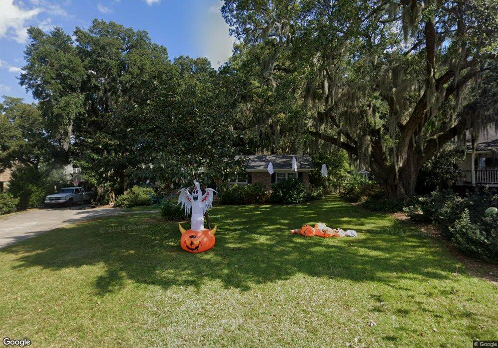
690 Clearview Dr Charleston, SC 29412
James Island NeighborhoodEstimated Value: $557,000 - $697,000
4
Beds
2
Baths
1,864
Sq Ft
$339/Sq Ft
Est. Value
About This Home
This home is located at 690 Clearview Dr, Charleston, SC 29412 and is currently estimated at $631,210, approximately $338 per square foot. 690 Clearview Dr is a home located in Charleston County with nearby schools including Stiles Point Elementary School, Camp Road Middle, and James Island Charter High School.
Ownership History
Date
Name
Owned For
Owner Type
Purchase Details
Closed on
Oct 6, 2011
Sold by
Topham David W
Bought by
Topham Emily
Current Estimated Value
Purchase Details
Closed on
May 20, 2011
Sold by
Muckenfuss Michael D and Muckenfuss Alison B
Bought by
Topham David W
Home Financials for this Owner
Home Financials are based on the most recent Mortgage that was taken out on this home.
Original Mortgage
$209,549
Outstanding Balance
$144,752
Interest Rate
4.75%
Mortgage Type
FHA
Estimated Equity
$486,458
Create a Home Valuation Report for This Property
The Home Valuation Report is an in-depth analysis detailing your home's value as well as a comparison with similar homes in the area
Home Values in the Area
Average Home Value in this Area
Purchase History
| Date | Buyer | Sale Price | Title Company |
|---|---|---|---|
| Topham Emily | -- | -- | |
| Topham David W | $215,000 | -- |
Source: Public Records
Mortgage History
| Date | Status | Borrower | Loan Amount |
|---|---|---|---|
| Open | Topham David W | $209,549 |
Source: Public Records
Tax History
| Year | Tax Paid | Tax Assessment Tax Assessment Total Assessment is a certain percentage of the fair market value that is determined by local assessors to be the total taxable value of land and additions on the property. | Land | Improvement |
|---|---|---|---|---|
| 2024 | $1,972 | $11,830 | $0 | $0 |
| 2023 | $1,670 | $11,830 | $0 | $0 |
| 2022 | $1,515 | $11,830 | $0 | $0 |
| 2021 | $1,594 | $11,830 | $0 | $0 |
| 2020 | $1,601 | $11,830 | $0 | $0 |
| 2019 | $1,468 | $10,290 | $0 | $0 |
| 2017 | $1,532 | $10,290 | $0 | $0 |
| 2016 | $1,472 | $10,290 | $0 | $0 |
| 2015 | $1,503 | $10,290 | $0 | $0 |
| 2014 | $1,264 | $0 | $0 | $0 |
| 2011 | -- | $0 | $0 | $0 |
Source: Public Records
Map
Nearby Homes
- 706 Sterling Dr
- 673 Edmonds Dr
- 544 Fort Johnson Rd
- 725 Stiles Dr
- 0 Fort Johnson Rd Unit 25005735
- 672 Ayers Dr
- 460 Trapier Dr
- 734 Waterloo St
- 913 Paul Revere Dr
- 621 Fort Johnson Rd
- 698 Whispering Marsh Dr
- 764 Whispering Marsh Dr
- 922 Preston Rd
- 902 Travers Dr
- 902 Mikell Dr
- 746 Tallwood Rd
- 758 Larkwood Rd
- 939 Mikell Dr
- 969 Harbor View Rd
- 975 Harbor View Rd
- 684 Clearview Dr
- 696 Clearview Dr
- 694 Clearview Dr
- 698 Clearview Dr
- 682 Clearview Dr
- 701 Clearview Dr
- 678 Clearview Dr
- 703 Clearview Dr
- 704 Clearview Dr
- 686 Jane Cir
- 690 Jane Cir
- 709 Clearview Dr
- 706 Clearview Dr
- 671 Clearview Dr
- 698 Beauregard St
- 682 Jane Cir
- 713 Clearview Dr
- 712 Clearview Dr
- 653 Sterling Dr
- 710 Beauregard St
Your Personal Tour Guide
Ask me questions while you tour the home.