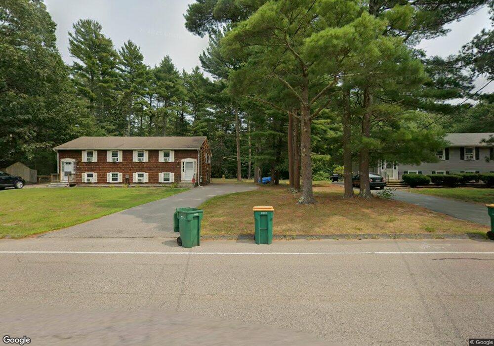
690 Elm St Mansfield, MA 02048
Estimated Value: $679,346 - $751,000
4
Beds
2
Baths
1,824
Sq Ft
$386/Sq Ft
Est. Value
About This Home
This home is located at 690 Elm St, Mansfield, MA 02048 and is currently estimated at $704,337, approximately $386 per square foot. 690 Elm St is a home located in Bristol County with nearby schools including Everett W. Robinson Elementary School, Jordan/Jackson Elementary School, and Harold L. Qualters Middle School.
Ownership History
Date
Name
Owned For
Owner Type
Purchase Details
Closed on
Jan 28, 2005
Sold by
Fleischmann June E
Bought by
Brown Harlie and Brown Anthony
Current Estimated Value
Home Financials for this Owner
Home Financials are based on the most recent Mortgage that was taken out on this home.
Original Mortgage
$20,000
Outstanding Balance
$10,112
Interest Rate
5.67%
Mortgage Type
Purchase Money Mortgage
Estimated Equity
$694,225
Create a Home Valuation Report for This Property
The Home Valuation Report is an in-depth analysis detailing your home's value as well as a comparison with similar homes in the area
Home Values in the Area
Average Home Value in this Area
Purchase History
| Date | Buyer | Sale Price | Title Company |
|---|---|---|---|
| Brown Harlie | $419,000 | -- |
Source: Public Records
Mortgage History
| Date | Status | Borrower | Loan Amount |
|---|---|---|---|
| Open | Brown Harlie | $20,000 |
Source: Public Records
Tax History
| Year | Tax Paid | Tax Assessment Tax Assessment Total Assessment is a certain percentage of the fair market value that is determined by local assessors to be the total taxable value of land and additions on the property. | Land | Improvement |
|---|---|---|---|---|
| 2025 | $7,785 | $591,100 | $247,600 | $343,500 |
| 2024 | $7,617 | $564,200 | $247,600 | $316,600 |
| 2023 | $7,437 | $527,800 | $247,600 | $280,200 |
| 2022 | $7,150 | $471,300 | $229,800 | $241,500 |
| 2021 | $6,725 | $437,800 | $200,700 | $237,100 |
| 2020 | $6,491 | $422,600 | $191,400 | $231,200 |
| 2019 | $6,187 | $406,500 | $160,400 | $246,100 |
| 2018 | $5,888 | $395,200 | $153,300 | $241,900 |
| 2017 | $2,161 | $384,900 | $149,200 | $235,700 |
| 2016 | $5,568 | $361,300 | $142,200 | $219,100 |
| 2015 | $5,439 | $350,900 | $142,200 | $208,700 |
Source: Public Records
Map
Nearby Homes
- 2 Oak St Unit 2B
- 451R Gilbert St
- 71 Richardson Ave
- 44 Surrey Dr
- 143 Oak St Unit 10
- 14 Claire Ave
- 5 Village Way Unit C
- 10 Anna Way
- 343 Godfrey Dr
- 345 Richardson Ave
- 101 Godfrey Dr Unit 101
- 250 Mansfield Ave Unit 11
- 49 Pheasant Hill Rd
- 17 Village Way Unit F
- 150 Gilbert St
- 157 Mansfield Ave Unit 27
- 157 Mansfield Ave Unit 14
- 85 Jewell St
- 933 Pleasant St
- 123 Pike Ave
- 694-698 Elm St
- 670 Elm St
- 694 Elm St Unit 698
- 694 Elm St Unit St
- 704 Elm St Unit 708
- 704 Elm St Unit 1
- 704 Elm St Unit 704
- 714 Elm St Unit 718
- 682 Elm St Unit 686
- 678 Elm St Unit 678
- 674-678 Elm St
- 678 Elm St
- 678 Elm St Unit 2
- 726 Elm St
- 674 Elm St Unit 678
- 00000 Partridge Ln
- 685 Elm St
- 713 Elm St
- 725 Elm St
- 679 Elm St
Your Personal Tour Guide
Ask me questions while you tour the home.