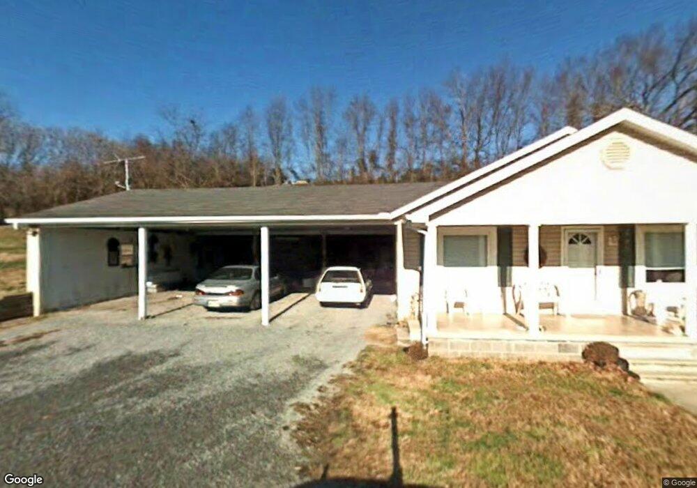
690 N Circle Dr Morristown, TN 37813
Estimated Value: $135,116 - $187,000
--
Bed
1
Bath
936
Sq Ft
$162/Sq Ft
Est. Value
About This Home
This home is located at 690 N Circle Dr, Morristown, TN 37813 and is currently estimated at $151,529, approximately $161 per square foot. 690 N Circle Dr is a home located in Hamblen County with nearby schools including Witt Elementary School, Lincoln Heights Middle School, and Morristown West High School.
Ownership History
Date
Name
Owned For
Owner Type
Purchase Details
Closed on
Sep 15, 2020
Sold by
Stepp Murel
Bought by
Shoemaker Crystal
Current Estimated Value
Purchase Details
Closed on
Dec 22, 2009
Sold by
Stepp Deborah Karen
Bought by
Stepp Murel
Purchase Details
Closed on
Jul 13, 1994
Sold by
Reed Barbara Sumner
Bought by
Murel Stepp
Purchase Details
Closed on
Sep 11, 1992
Bought by
Stepp Murel Seldom
Purchase Details
Closed on
Jul 2, 1990
Bought by
Stepp Murel and Stepp Deborah
Purchase Details
Closed on
May 11, 1990
Bought by
Stepp Murel and Stepp Deborah
Purchase Details
Closed on
Jan 8, 1990
Bought by
Stepp Murel and Stepp Deborah
Purchase Details
Closed on
Mar 22, 1989
Bought by
Stepp Allen and Stepp Lynnis
Purchase Details
Closed on
May 3, 1971
Bought by
Sinard Delcia Mrs Life Est
Create a Home Valuation Report for This Property
The Home Valuation Report is an in-depth analysis detailing your home's value as well as a comparison with similar homes in the area
Home Values in the Area
Average Home Value in this Area
Purchase History
| Date | Buyer | Sale Price | Title Company |
|---|---|---|---|
| Shoemaker Crystal | -- | None Available | |
| Stepp Murel | -- | -- | |
| Murel Stepp | -- | -- | |
| Stepp Murel Seldom | -- | -- | |
| Stepp Murel | -- | -- | |
| Stepp Murel | -- | -- | |
| Stepp Murel | $11,900 | -- | |
| Stepp Allen | -- | -- | |
| Sinard Delcia Mrs Life Est | -- | -- |
Source: Public Records
Tax History Compared to Growth
Tax History
| Year | Tax Paid | Tax Assessment Tax Assessment Total Assessment is a certain percentage of the fair market value that is determined by local assessors to be the total taxable value of land and additions on the property. | Land | Improvement |
|---|---|---|---|---|
| 2024 | $356 | $18,050 | $3,700 | $14,350 |
| 2023 | $356 | $18,050 | $0 | $0 |
| 2022 | $356 | $18,050 | $3,700 | $14,350 |
| 2021 | $356 | $18,050 | $3,700 | $14,350 |
| 2020 | $356 | $18,050 | $3,700 | $14,350 |
| 2019 | $333 | $15,625 | $2,650 | $12,975 |
| 2018 | $333 | $15,625 | $2,650 | $12,975 |
| 2017 | $333 | $15,625 | $2,650 | $12,975 |
| 2016 | $311 | $15,625 | $2,650 | $12,975 |
| 2015 | $289 | $15,625 | $2,650 | $12,975 |
| 2014 | -- | $15,625 | $2,650 | $12,975 |
| 2013 | -- | $16,325 | $0 | $0 |
Source: Public Records
Map
Nearby Homes
- 3520 Sublett Rd
- 5474 Saint Paul Rd
- 5056 Spencer Hale Rd
- 848 Spencer Hale Rd
- 453 Statem Gap Rd
- 2262 Fernwood Church Rd
- 1500 S Davy Crockett Pkwy
- 5704 Long Creek Rd
- 2895 Coffey Rd
- 0 Old White Pine Rd
- 3017 Hardy Rd
- 1160 Statem Gap Rd
- 4996 Saint Paul Rd
- 1163 Nathan Dr
- 1418 Mae Collins Rd
- 1051 Wilson Hale Rd
- 4207 Clyde Thomas Rd
- 5262 Buell Chapel Rd
- TBD Buell Chapel Rd
- 1605 College St