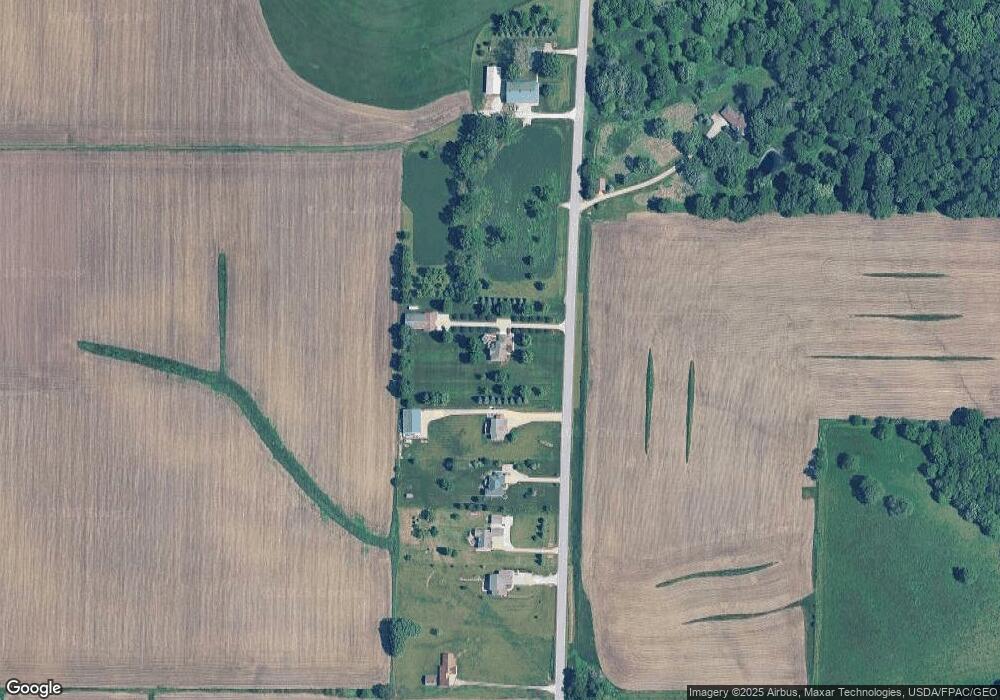
690 NE 91st St Runnells, IA 50237
Estimated Value: $577,000 - $807,468
5
Beds
4
Baths
3,122
Sq Ft
$222/Sq Ft
Est. Value
About This Home
This home is located at 690 NE 91st St, Runnells, IA 50237 and is currently estimated at $693,117, approximately $222 per square foot. 690 NE 91st St is a home located in Polk County with nearby schools including Runnells Elementary School, Southeast Polk Spring Creek- 6th Grade, and Southeast Polk Junior High School.
Ownership History
Date
Name
Owned For
Owner Type
Purchase Details
Closed on
Aug 11, 2009
Sold by
Tilley Michael Eugene and Tilley Kristy Anne
Bought by
Tilley Ii Michael Eugene and Tilley Kristy Anne
Current Estimated Value
Create a Home Valuation Report for This Property
The Home Valuation Report is an in-depth analysis detailing your home's value as well as a comparison with similar homes in the area
Home Values in the Area
Average Home Value in this Area
Purchase History
| Date | Buyer | Sale Price | Title Company |
|---|---|---|---|
| Tilley Ii Michael Eugene | -- | None Available |
Source: Public Records
Tax History Compared to Growth
Tax History
| Year | Tax Paid | Tax Assessment Tax Assessment Total Assessment is a certain percentage of the fair market value that is determined by local assessors to be the total taxable value of land and additions on the property. | Land | Improvement |
|---|---|---|---|---|
| 2025 | $10,854 | $829,100 | $107,800 | $721,300 |
| 2024 | $10,854 | $751,800 | $95,000 | $656,800 |
| 2023 | $10,186 | $751,800 | $95,000 | $656,800 |
| 2022 | $10,052 | $593,800 | $78,800 | $515,000 |
| 2021 | $9,512 | $593,800 | $78,800 | $515,000 |
| 2020 | $9,378 | $533,700 | $70,300 | $463,400 |
| 2019 | $9,048 | $533,700 | $70,300 | $463,400 |
| 2018 | $9,094 | $494,500 | $62,000 | $432,500 |
| 2017 | $9,070 | $494,500 | $62,000 | $432,500 |
| 2016 | $9,060 | $442,800 | $50,300 | $392,500 |
| 2015 | $9,060 | $442,800 | $50,300 | $392,500 |
| 2014 | $8,762 | $422,400 | $49,500 | $372,900 |
Source: Public Records
Map
Nearby Homes
- 7740 Spring Creek Dr
- 5792 Arbor Hills Ct
- 5736 Arbor Hills Ct
- 5766 Arbor Springs Dr
- 7980 NE 27th Ave
- 625 NE 72nd St
- 1220 34th St SE
- 7141 Catalina Ct
- 624 NE 71st St
- 1018 34th St SE
- 1027 34th St SE
- 1012 34th St SE
- 1006 34th St SE
- 1015 34th St SE
- 1000 34th St SE
- 702 NE 71st St
- 1009 34th St SE
- 714 NE 71st St
- 1003 34th St SE
- 726 NE 71st St
- 852 NE 91st St
- 798 NE 91st St
- 630 NE 91st St
- 592 NE 91st St
- 556 NE 91st St
- 524 NE 91st St
- 900 NE 91st St
- 460 NE 91st St
- 849 NE 91st St
- 1051 NE 91st St
- 1145 NE 91st St
- 1135 NE 91st St
- 9267 NE University Ave
- 260 NE 91st St
- 9273 NE University Ave
- 9201 NE 12th Ave
- 9044 NE 12th Ave
- 9030 NE 12th Ave
- 9016 NE 12th Ave
- 9000 NE 12th Ave