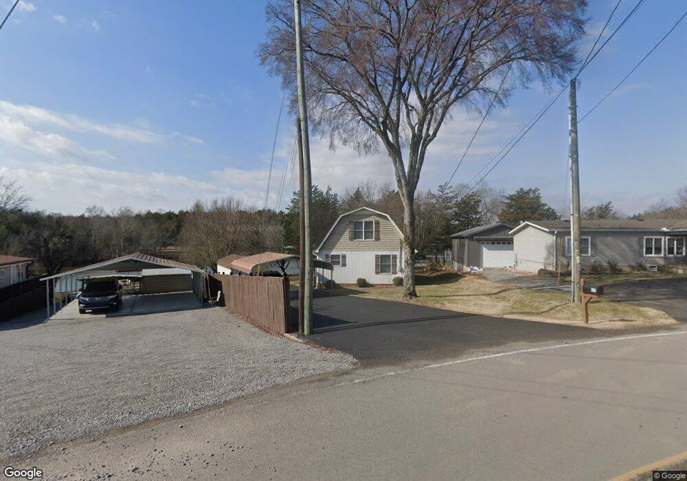
690 Ramsey Rd Lebanon, TN 37087
Estimated Value: $388,724 - $462,000
--
Bed
--
Bath
1,508
Sq Ft
$279/Sq Ft
Est. Value
About This Home
This home is located at 690 Ramsey Rd, Lebanon, TN 37087 and is currently estimated at $420,681, approximately $278 per square foot. 690 Ramsey Rd is a home located in Wilson County with nearby schools including Carroll Oakland Elementary School and Lebanon High School.
Ownership History
Date
Name
Owned For
Owner Type
Purchase Details
Closed on
Nov 7, 2019
Sold by
Vaught Jerry L
Bought by
Dick Joseph B and Hoffman Melinda L
Current Estimated Value
Purchase Details
Closed on
Feb 23, 2010
Sold by
Muggler Elfriede
Bought by
Vaught Jerry
Purchase Details
Closed on
Mar 17, 2006
Sold by
Geor Callis Lucille Esther
Bought by
Muggler Elfriede Trustee
Purchase Details
Closed on
Feb 2, 2006
Sold by
Geor Callis Lucille Esther
Bought by
Cedarview Trust
Purchase Details
Closed on
Feb 1, 2006
Sold by
George Callis Lucille
Bought by
Cedarview Trust
Purchase Details
Closed on
Oct 31, 1995
Bought by
Ramsey Betty J
Purchase Details
Closed on
Jun 9, 1992
Bought by
Vaught Jerry L
Purchase Details
Closed on
Sep 21, 1979
Create a Home Valuation Report for This Property
The Home Valuation Report is an in-depth analysis detailing your home's value as well as a comparison with similar homes in the area
Home Values in the Area
Average Home Value in this Area
Purchase History
| Date | Buyer | Sale Price | Title Company |
|---|---|---|---|
| Dick Joseph B | $289,900 | None Available | |
| Vaught Jerry | $32,500 | -- | |
| Muggler Elfriede Trustee | -- | -- | |
| Cedarview Trust | $4,750 | -- | |
| Cedarview Trust | $4,750 | -- | |
| Ramsey Betty J | $1,525 | -- | |
| Vaught Jerry L | $52,500 | -- | |
| -- | -- | -- |
Source: Public Records
Tax History Compared to Growth
Tax History
| Year | Tax Paid | Tax Assessment Tax Assessment Total Assessment is a certain percentage of the fair market value that is determined by local assessors to be the total taxable value of land and additions on the property. | Land | Improvement |
|---|---|---|---|---|
| 2024 | $950 | $49,750 | $18,750 | $31,000 |
| 2022 | $950 | $49,750 | $18,750 | $31,000 |
| 2021 | $943 | $49,750 | $18,750 | $31,000 |
| 2020 | $1,002 | $49,375 | $18,750 | $30,625 |
| 2019 | $1,002 | $39,775 | $12,375 | $27,400 |
| 2018 | $1,002 | $39,775 | $12,375 | $27,400 |
| 2017 | $1,002 | $39,775 | $12,375 | $27,400 |
| 2016 | $1,002 | $39,775 | $12,375 | $27,400 |
| 2015 | $1,022 | $39,775 | $12,375 | $27,400 |
| 2014 | $761 | $29,599 | $0 | $0 |
Source: Public Records
Map
Nearby Homes
- 310 Ramsey Rd
- 2700 Canoe Branch Rd
- 2960 Canoe Branch Rd
- 140 Robertson Ln
- 0 Rivercrest Estates
- 95 Breeze Inn Rd
- 250 Breeze Inn Rd
- 222 Preacher Robertson Rd
- 1959 Burford Rd
- 2510 Highway 231 S
- 998 Corum Hill Rd
- 690 Burford Rd
- 580 Carr Rd
- 369 Burford Rd
- 1190 Corum Hill Rd
- 100 Philadelphia Rd
- 910 Campsite Rd
- 653 Flippen Rd
- 104 Hamilton Ln
- 106 Hamilton Ln