69005 Quail Tree Dr Sisters, OR 97759
Estimated Value: $1,017,000 - $1,828,000
2
Beds
1
Bath
1,000
Sq Ft
$1,312/Sq Ft
Est. Value
About This Home
This home is located at 69005 Quail Tree Dr, Sisters, OR 97759 and is currently estimated at $1,312,055, approximately $1,312 per square foot. 69005 Quail Tree Dr is a home with nearby schools including Sisters Elementary School, Sisters Middle School, and Sisters High School.
Ownership History
Date
Name
Owned For
Owner Type
Purchase Details
Closed on
Sep 26, 2012
Sold by
Mitchell Margan and Swaner Karan
Bought by
Hanson Leslie Swaner
Current Estimated Value
Purchase Details
Closed on
Jan 2, 2007
Sold by
Angel Joseph W
Bought by
Swaner Mary Jo and Swaner Betty B
Home Financials for this Owner
Home Financials are based on the most recent Mortgage that was taken out on this home.
Original Mortgage
$140,000
Outstanding Balance
$83,244
Interest Rate
6.12%
Mortgage Type
Unknown
Estimated Equity
$1,228,811
Create a Home Valuation Report for This Property
The Home Valuation Report is an in-depth analysis detailing your home's value as well as a comparison with similar homes in the area
Home Values in the Area
Average Home Value in this Area
Purchase History
| Date | Buyer | Sale Price | Title Company |
|---|---|---|---|
| Hanson Leslie Swaner | -- | None Available | |
| Swaner Mary Jo | -- | None Available | |
| Swaner Mary Jo | $555,000 | Western Title & Escrow Co |
Source: Public Records
Mortgage History
| Date | Status | Borrower | Loan Amount |
|---|---|---|---|
| Open | Swaner Mary Jo | $140,000 |
Source: Public Records
Tax History Compared to Growth
Tax History
| Year | Tax Paid | Tax Assessment Tax Assessment Total Assessment is a certain percentage of the fair market value that is determined by local assessors to be the total taxable value of land and additions on the property. | Land | Improvement |
|---|---|---|---|---|
| 2024 | $5,199 | $351,740 | -- | -- |
| 2023 | $5,048 | $341,500 | $0 | $0 |
| 2022 | $4,641 | $321,910 | $0 | $0 |
| 2021 | $4,433 | $312,540 | $0 | $0 |
| 2020 | $4,203 | $312,540 | $0 | $0 |
| 2019 | $4,102 | $303,440 | $0 | $0 |
| 2018 | $3,995 | $294,610 | $0 | $0 |
| 2017 | $3,855 | $286,030 | $0 | $0 |
| 2016 | $3,793 | $277,700 | $0 | $0 |
| 2015 | $3,554 | $269,620 | $0 | $0 |
| 2014 | $3,331 | $261,770 | $0 | $0 |
Source: Public Records
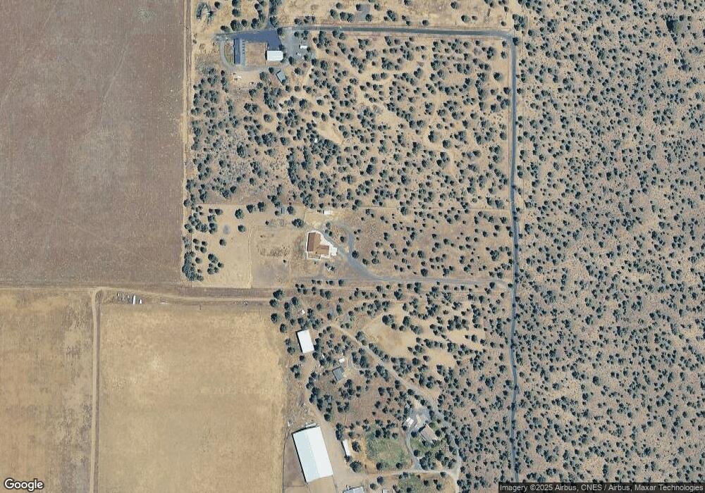
Map
Nearby Homes
- 18075 Fadjur Ln
- 68755 Fryrear Rd
- 69019 Holmes Rd
- 69740 McKenzie Canyon Rd
- 69150 Butcher Block Blvd
- 68398 George Cyrus Rd Unit 151117
- 18589 Mcswain Dr
- 17167 Caddis Ct
- 17150 Emerald Valley Rd
- 69343 Hinkle Butte Dr
- 0 McKenzie Canyon Rd
- 69252 Lake Dr
- 69482 Panoramic Dr
- 16921 Lady Caroline Dr
- 16900 Green Drake Ct
- 17500 Forked Horn Rd
- 70120 Mustang Dr
- 16867 Golden Stone Dr
- 17415 Kent Rd
- 16840 Buck Horn Dr
- 69025 Quail Tree Dr
- 68795 Quail Tree Dr
- 18357 Fadjur Ln
- 18100 Highway 126
- 68767 Quail Tree Dr
- 68775 Quail Tree Dr
- 69203 Sabrina Ln
- 18349 Fadjur Ln
- 18297 Fadjur Ln
- 18263 Fadjur Ln
- 18235 Fadjur Ln
- 18363 Fadjur Ln
- 68790 Quail Tree Dr
- 18025 Fadjur Ln
- 18203 Fadjur Ln
- 68760 Quail Tree Dr
- 18260 Fadjur Ln
- 18238 Fadjur Ln
- 18348 Fadjur Ln
- 18179 Fadjur Ln