6901 W Mackenzie Dr Unit 1284 Phoenix, AZ 85033
Estimated Value: $190,991 - $239,000
--
Bed
2
Baths
1,006
Sq Ft
$209/Sq Ft
Est. Value
About This Home
This home is located at 6901 W Mackenzie Dr Unit 1284, Phoenix, AZ 85033 and is currently estimated at $210,248, approximately $208 per square foot. 6901 W Mackenzie Dr Unit 1284 is a home located in Maricopa County with nearby schools including Heatherbrae School, Desert Sands Middle School, and Trevor Browne High School.
Ownership History
Date
Name
Owned For
Owner Type
Purchase Details
Closed on
Sep 19, 2016
Sold by
Aguilar Ronnie
Bought by
Salazar Judith Antonia Lopez
Current Estimated Value
Purchase Details
Closed on
Oct 14, 2015
Sold by
Ramos Yolanda R
Bought by
Aguilar Ronnie
Purchase Details
Closed on
Jun 30, 1994
Sold by
Partners In Action
Bought by
Ramos Yolanda R
Home Financials for this Owner
Home Financials are based on the most recent Mortgage that was taken out on this home.
Original Mortgage
$54,959
Interest Rate
8.6%
Mortgage Type
FHA
Create a Home Valuation Report for This Property
The Home Valuation Report is an in-depth analysis detailing your home's value as well as a comparison with similar homes in the area
Home Values in the Area
Average Home Value in this Area
Purchase History
| Date | Buyer | Sale Price | Title Company |
|---|---|---|---|
| Salazar Judith Antonia Lopez | -- | None Available | |
| Salazar Judith Antonio Lopez | -- | None Available | |
| Aguilar Ronnie | $32,000 | Great American Title Agency | |
| Ramos Yolanda R | $54,900 | Network Escrow & Title Agenc |
Source: Public Records
Mortgage History
| Date | Status | Borrower | Loan Amount |
|---|---|---|---|
| Previous Owner | Ramos Yolanda R | $54,959 |
Source: Public Records
Tax History Compared to Growth
Tax History
| Year | Tax Paid | Tax Assessment Tax Assessment Total Assessment is a certain percentage of the fair market value that is determined by local assessors to be the total taxable value of land and additions on the property. | Land | Improvement |
|---|---|---|---|---|
| 2025 | $390 | $2,446 | -- | -- |
| 2024 | $389 | $2,329 | -- | -- |
| 2023 | $389 | $10,380 | $2,070 | $8,310 |
| 2022 | $365 | $7,780 | $1,550 | $6,230 |
| 2021 | $373 | $7,000 | $1,400 | $5,600 |
| 2020 | $352 | $5,980 | $1,190 | $4,790 |
| 2019 | $336 | $4,920 | $980 | $3,940 |
| 2018 | $351 | $3,350 | $670 | $2,680 |
| 2017 | $335 | $2,850 | $570 | $2,280 |
| 2016 | $320 | $2,650 | $530 | $2,120 |
| 2015 | $331 | $2,280 | $450 | $1,830 |
Source: Public Records
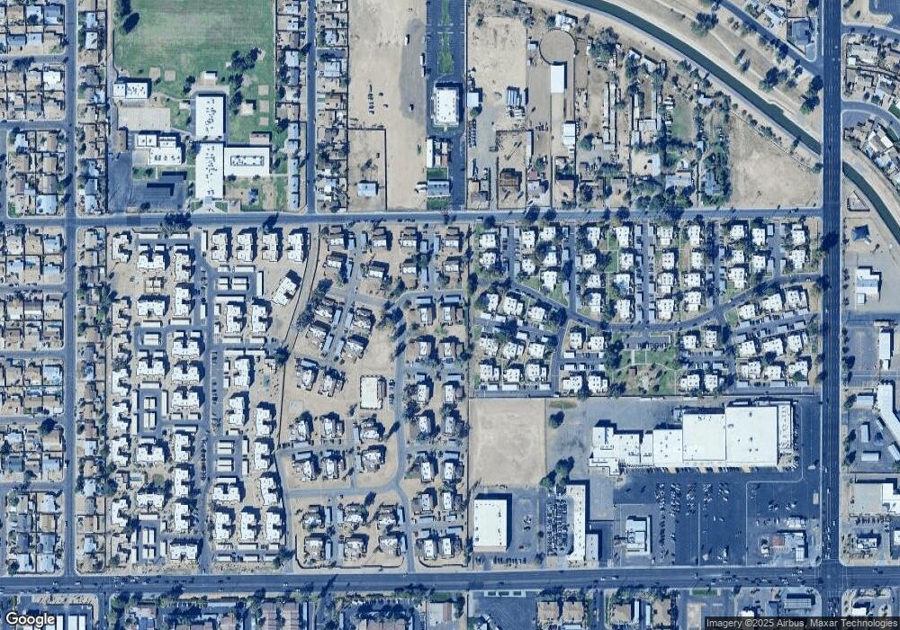
Map
Nearby Homes
- 6902 W Devonshire Ave Unit 1280
- 6842 W Devonshire Ave Unit 265
- 4252 N 68th Ln Unit 512
- 6841 W Devonshire Ave
- 4242 N 69th Ln Unit 1333
- 6806 W Devonshire Ave
- 6866 W Indian School Rd Unit 1
- 4268 N 68th Ave Unit 447
- 4233 N 68th Ave Unit 430
- 6756 W Devonshire Ave Unit 362
- 7125 W Heatherbrae Dr
- 6727 W Roma Ave
- 4316 N 72nd Ave
- 7150 W Montecito Ave
- 4109 N 72nd Dr
- 6530 W Turney Ave
- 3646 N 67th Ave Unit 64
- 3646 N 67th Ave Unit 96
- 3645 N 69th Ave Unit 99
- 3645 N 69th Ave Unit 73
- 6901 W Mackenzie Dr Unit 1286
- 6901 W Mackenzie Dr Unit 1283
- 6901 W Mackenzie Dr Unit 1285
- 6858 W Devonshire Ave Unit 258
- 6911 W Mackenzie Dr Unit 1291
- 6911 W Mackenzie Dr Unit 1290
- 6911 W Mackenzie Dr Unit 1289
- 6911 W Mackenzie Dr Unit 1292
- 6911 W Mackenzie Dr
- 6854 W Devonshire Ave Unit 260
- 4231 N 69th Dr Unit 1296
- 4231 N 69th Dr Unit 1295
- 4231 N 69th Dr Unit 1293
- 4231 N 69th Dr Unit 1294
- 6856 W Devonshire Ave Unit 258
- 6850 W Devonshire Ave Unit 261
- 6857 W Devonshire Ave
- 6852 W Devonshire Ave Unit 259
- 6853 W Devonshire Ave
- 6855 W Devonshire Ave Unit 291