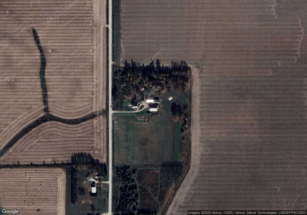
6902 Unity Ave Cresco, IA 52136
Estimated Value: $271,000 - $386,055
2
Beds
--
Bath
2,824
Sq Ft
$113/Sq Ft
Est. Value
About This Home
This home is located at 6902 Unity Ave, Cresco, IA 52136 and is currently estimated at $317,764, approximately $112 per square foot. 6902 Unity Ave is a home with nearby schools including Crestwood High School.
Ownership History
Date
Name
Owned For
Owner Type
Purchase Details
Closed on
Feb 19, 2016
Sold by
Gingerich Levi C and Gingerich Winifred
Bought by
Gingerich Levi C and Gingerich Winifred
Current Estimated Value
Purchase Details
Closed on
Jul 10, 2014
Sold by
Beachy Leroy and Beachy Mary
Bought by
Gingerich Levi C
Home Financials for this Owner
Home Financials are based on the most recent Mortgage that was taken out on this home.
Original Mortgage
$79,060
Outstanding Balance
$60,112
Interest Rate
4.19%
Mortgage Type
Farmers Home Administration
Estimated Equity
$257,652
Create a Home Valuation Report for This Property
The Home Valuation Report is an in-depth analysis detailing your home's value as well as a comparison with similar homes in the area
Home Values in the Area
Average Home Value in this Area
Purchase History
| Date | Buyer | Sale Price | Title Company |
|---|---|---|---|
| Gingerich Levi C | -- | None Available | |
| Gingerich Levi C | $60,000 | None Available |
Source: Public Records
Mortgage History
| Date | Status | Borrower | Loan Amount |
|---|---|---|---|
| Open | Gingerich Levi C | $79,060 |
Source: Public Records
Tax History Compared to Growth
Tax History
| Year | Tax Paid | Tax Assessment Tax Assessment Total Assessment is a certain percentage of the fair market value that is determined by local assessors to be the total taxable value of land and additions on the property. | Land | Improvement |
|---|---|---|---|---|
| 2025 | $2,826 | $258,140 | $83,040 | $175,100 |
| 2024 | $2,826 | $239,650 | $83,040 | $156,610 |
| 2023 | $2,796 | $239,650 | $83,040 | $156,610 |
| 2022 | $2,340 | $179,280 | $58,250 | $121,030 |
| 2021 | $2,366 | $179,280 | $58,250 | $121,030 |
| 2020 | $2,146 | $171,410 | $58,250 | $113,160 |
| 2019 | $2,204 | $158,650 | $0 | $0 |
| 2018 | $2,134 | $158,650 | $0 | $0 |
| 2017 | $1,580 | $107,200 | $0 | $0 |
| 2016 | $1,558 | $107,200 | $0 | $0 |
| 2015 | $1,558 | $107,200 | $0 | $0 |
| 2014 | $1,274 | $90,130 | $0 | $0 |
Source: Public Records
Map
Nearby Homes
- 211 Royal Oaks Dr
- 1014 Division St
- 732 N Elm St
- 205 6th Ave W
- 106 6th Ave W
- 120 5th Ave E
- 113 5th Ave E
- 716 6th Ave E
- 303 3rd St SW Unit Farley
- 111 4th Ave SW
- 729 2nd St SW
- 0 Co Rd A23 Unit NOC6333468
- Tbd
- 3447 303rd Ave
- 16298 Unity Ave
- 16267 Yankee Ave
- 15158 241st Ave
- 00 Jade Ave
- 0 Jade Ave
- Tbd W Ravine Rd