6903 Pear Tree Dr Carlsbad, CA 92011
Poinsettia NeighborhoodEstimated Value: $840,550 - $895,000
2
Beds
2
Baths
999
Sq Ft
$868/Sq Ft
Est. Value
About This Home
This home is located at 6903 Pear Tree Dr, Carlsbad, CA 92011 and is currently estimated at $867,138, approximately $868 per square foot. 6903 Pear Tree Dr is a home located in San Diego County with nearby schools including Pacific Rim Elementary, Aviara Oaks Middle, and Sage Creek High.
Ownership History
Date
Name
Owned For
Owner Type
Purchase Details
Closed on
Jun 29, 2011
Sold by
Benson Debra Jean
Bought by
Benson Debra J
Current Estimated Value
Purchase Details
Closed on
Jun 2, 2011
Sold by
Benson Debra Jean
Bought by
Benson Debra Jean
Purchase Details
Closed on
Nov 20, 2002
Sold by
Paterson Sharlene A
Bought by
Paterson Donald J and Paterson Sharlene A
Purchase Details
Closed on
Jan 15, 1992
Purchase Details
Closed on
Aug 18, 1988
Purchase Details
Closed on
Sep 15, 1986
Create a Home Valuation Report for This Property
The Home Valuation Report is an in-depth analysis detailing your home's value as well as a comparison with similar homes in the area
Home Values in the Area
Average Home Value in this Area
Purchase History
| Date | Buyer | Sale Price | Title Company |
|---|---|---|---|
| Benson Debra J | -- | None Available | |
| Benson Debra Jean | -- | None Available | |
| Paterson Donald J | -- | -- | |
| -- | $174,500 | -- | |
| -- | $133,000 | -- | |
| -- | $100,000 | -- |
Source: Public Records
Tax History
| Year | Tax Paid | Tax Assessment Tax Assessment Total Assessment is a certain percentage of the fair market value that is determined by local assessors to be the total taxable value of land and additions on the property. | Land | Improvement |
|---|---|---|---|---|
| 2025 | $805 | $70,621 | $30,692 | $39,929 |
| 2024 | $805 | $69,238 | $30,091 | $39,147 |
| 2023 | $800 | $67,881 | $29,501 | $38,380 |
| 2022 | $788 | $66,551 | $28,923 | $37,628 |
| 2021 | $782 | $65,247 | $28,356 | $36,891 |
| 2020 | $778 | $64,579 | $28,066 | $36,513 |
| 2019 | $765 | $63,314 | $27,516 | $35,798 |
| 2018 | $735 | $62,074 | $26,977 | $35,097 |
| 2017 | $90 | $60,858 | $26,449 | $34,409 |
| 2016 | $694 | $59,666 | $25,931 | $33,735 |
| 2015 | $617 | $58,771 | $25,542 | $33,229 |
| 2014 | $607 | $57,621 | $25,042 | $32,579 |
Source: Public Records
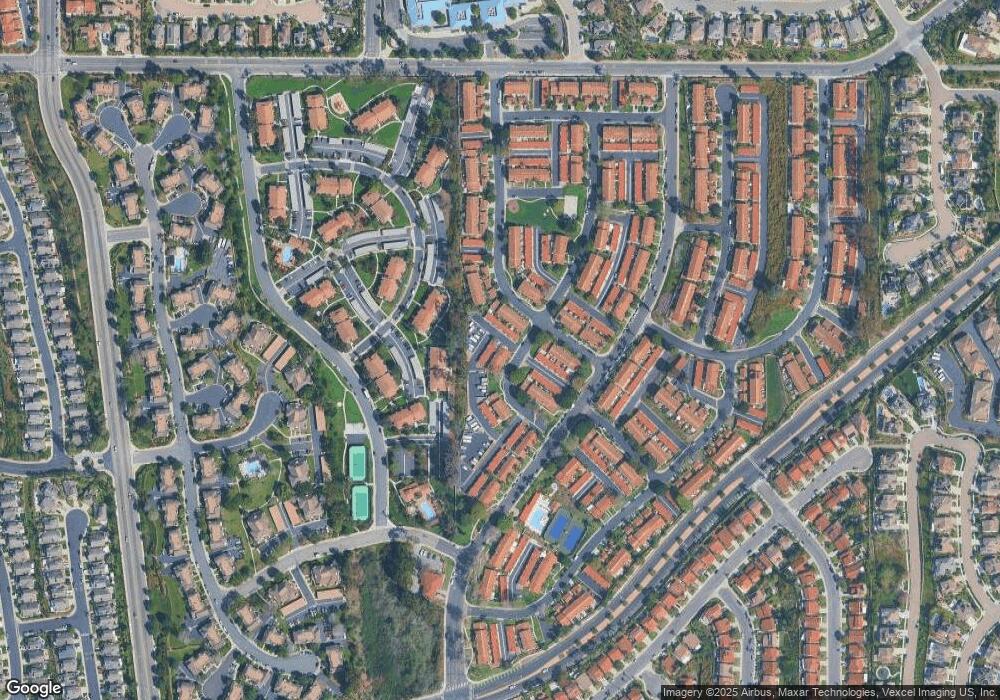
Map
Nearby Homes
- 907 Hickory Ct Unit 5
- 6976 Batiquitos Dr
- 6707 Blue Point Dr
- 6936 Quiet Cove Dr
- 6871 Seaspray Ln
- 6951 Quiet Cove Dr
- 7102 Linden Terrace
- 7139 Linden Terrace
- 816 Caminito Azul
- 901 Caminito Estrada Unit C
- 1028 Daisy Ave
- 609 Saltgrass Ave
- 7215 Daffodil Place
- 7025 San Bartolo St Unit 42
- 7218 San Lucas St Unit 189
- 7207 Santa Barbara St Unit 154
- 7008 San Bartolo St Unit 27
- 7027 San Bartolo St Unit 43
- 7004 San Carlos St Unit 67
- 7239 San Luis St Unit 184
- 6905 Pear Tree Dr
- 6907 Pear Tree Dr
- 6909 Pear Tree Dr
- 6869 Alderwood Dr
- 6867 Alderwood Dr
- 6871 Alderwood Dr Unit 5
- 6865 Alderwood Dr Unit 5
- 6863 Alderwood Dr
- 6861 Alderwood Dr
- 6922 Pear Tree Dr
- 6877 Alderwood Dr
- 6879 Alderwood Dr
- 6855 Alderwood Dr
- 6924 Pear Tree Dr
- 6881 Alderwood Dr Unit 3
- 6853 Alderwood Dr
- 6926 Pear Tree Dr
- 6883 Alderwood Dr
- 6851 Alderwood Dr Unit 5
- 6928 Pear Tree Dr