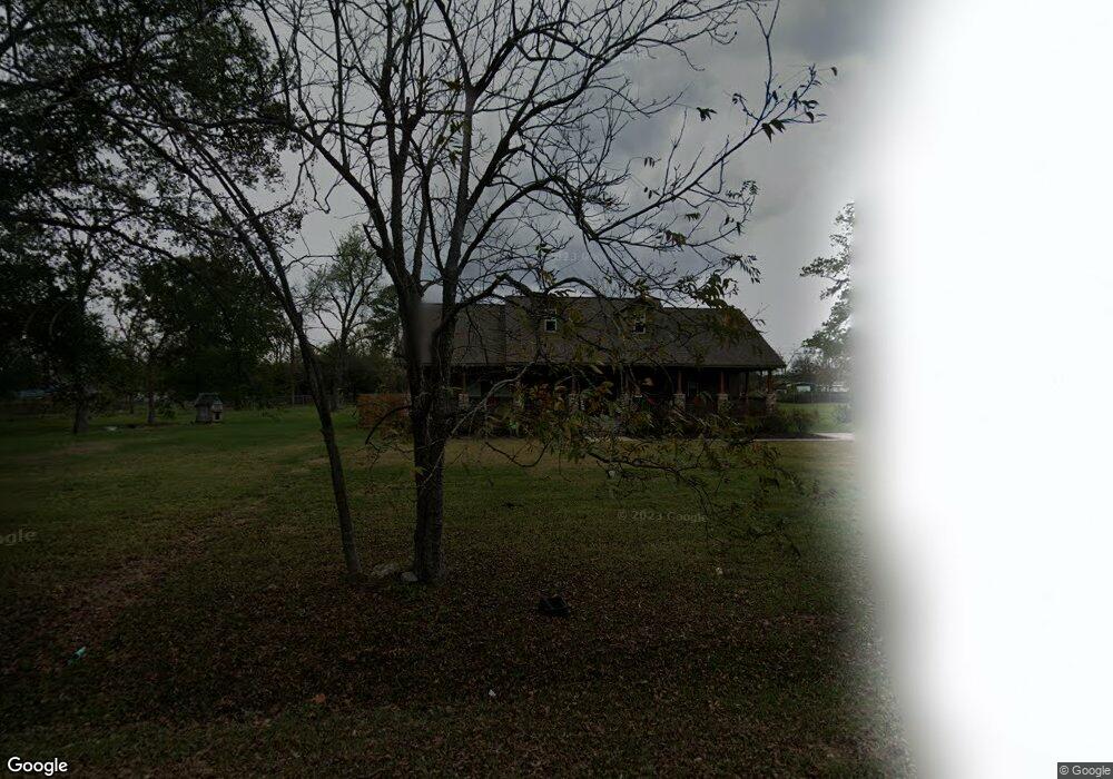
6905 Camway St Houston, TX 77028
Trinity-Houston Gardens NeighborhoodEstimated Value: $243,000 - $511,603
3
Beds
3
Baths
1,707
Sq Ft
$226/Sq Ft
Est. Value
About This Home
This home is located at 6905 Camway St, Houston, TX 77028 and is currently estimated at $386,151, approximately $226 per square foot. 6905 Camway St is a home located in Harris County with nearby schools including McGowen Elementary School, Key Middle, and Kashmere High School.
Ownership History
Date
Name
Owned For
Owner Type
Purchase Details
Closed on
Nov 25, 2014
Sold by
Thompson Maymie W
Bought by
Creuzot Percy
Current Estimated Value
Home Financials for this Owner
Home Financials are based on the most recent Mortgage that was taken out on this home.
Original Mortgage
$214,934
Outstanding Balance
$169,528
Interest Rate
4.75%
Mortgage Type
FHA
Estimated Equity
$216,623
Purchase Details
Closed on
Aug 1, 2005
Sold by
Pendleton Edna P
Bought by
Thompson Maymie W
Create a Home Valuation Report for This Property
The Home Valuation Report is an in-depth analysis detailing your home's value as well as a comparison with similar homes in the area
Home Values in the Area
Average Home Value in this Area
Purchase History
| Date | Buyer | Sale Price | Title Company |
|---|---|---|---|
| Creuzot Percy | -- | None Available | |
| Thompson Maymie W | -- | -- |
Source: Public Records
Mortgage History
| Date | Status | Borrower | Loan Amount |
|---|---|---|---|
| Open | Creuzot Percy | $214,934 |
Source: Public Records
Tax History Compared to Growth
Tax History
| Year | Tax Paid | Tax Assessment Tax Assessment Total Assessment is a certain percentage of the fair market value that is determined by local assessors to be the total taxable value of land and additions on the property. | Land | Improvement |
|---|---|---|---|---|
| 2025 | $3,849 | $486,256 | $322,308 | $163,948 |
| 2024 | $3,849 | $480,394 | $322,308 | $158,086 |
| 2023 | $3,849 | $398,734 | $241,731 | $157,003 |
| 2022 | $4,455 | $263,654 | $161,154 | $102,500 |
| 2021 | $4,287 | $183,926 | $59,090 | $124,836 |
| 2020 | $4,454 | $183,926 | $59,090 | $124,836 |
| 2019 | $4,654 | $183,926 | $59,090 | $124,836 |
| 2018 | $4,654 | $183,926 | $59,090 | $124,836 |
| 2017 | $4,651 | $183,926 | $59,090 | $124,836 |
| 2016 | $2,442 | $96,587 | $59,090 | $37,497 |
| 2015 | $1,055 | $0 | $0 | $0 |
| 2014 | $1,055 | $41,050 | $40,950 | $100 |
Source: Public Records
Map
Nearby Homes
- 6701 Mariosa St
- 5420 Lynnfield St Unit A/B
- 6713 Hoffman St
- 6520 Hoffman St
- 6112 Shotwell St
- 6942 Peyton St
- 6713 Shotwell St
- 7406 Hoffman St
- 0 Lynnfield St
- 00 Lynnfield St
- 7002 Jay St
- 5409-5417 Carey St
- 6307 Sandra St
- 6309 Sandra St
- 6305 Sandra St Unit A/B
- 6102 Shotwell St
- 0 Sandra Unit 10021624
- 5017 Baton Rouge St
- 0 Peachtree St Unit 21922779
- 0 Peachtree St Unit 3094206