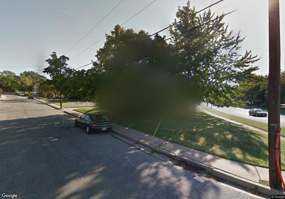
6905 Norman Ave Dundalk, MD 21222
Estimated Value: $187,778 - $258,000
Studio
1
Bath
1,189
Sq Ft
$195/Sq Ft
Est. Value
About This Home
This home is located at 6905 Norman Ave, Dundalk, MD 21222 and is currently estimated at $231,445, approximately $194 per square foot. 6905 Norman Ave is a home located in Baltimore County with nearby schools including Norwood Elementary School, Holabird Middle School, and Dundalk High School.
Ownership History
Date
Name
Owned For
Owner Type
Purchase Details
Closed on
Jan 28, 2005
Sold by
Heater Cecil R
Bought by
Mccumber Jo Ann
Current Estimated Value
Purchase Details
Closed on
Jul 21, 2004
Sold by
Heater Cecil R
Bought by
Mccumber Jo Ann
Purchase Details
Closed on
Nov 25, 2003
Sold by
Heater Cecil R
Bought by
Mccumber Joann
Purchase Details
Closed on
Jan 28, 1991
Sold by
Barkley Christa R
Bought by
Heater Cecil R
Create a Home Valuation Report for This Property
The Home Valuation Report is an in-depth analysis detailing your home's value as well as a comparison with similar homes in the area
Home Values in the Area
Average Home Value in this Area
Purchase History
| Date | Buyer | Sale Price | Title Company |
|---|---|---|---|
| Mccumber Jo Ann | -- | -- | |
| Mccumber Jo Ann | -- | -- | |
| Mccumber Joann | $110,000 | -- | |
| Heater Cecil R | $82,900 | -- |
Source: Public Records
Tax History
| Year | Tax Paid | Tax Assessment Tax Assessment Total Assessment is a certain percentage of the fair market value that is determined by local assessors to be the total taxable value of land and additions on the property. | Land | Improvement |
|---|---|---|---|---|
| 2025 | $2,291 | $153,700 | -- | -- |
| 2024 | $2,291 | $142,900 | $0 | $0 |
| 2023 | $1,032 | $132,100 | $62,500 | $69,600 |
| 2022 | $1,993 | $128,967 | $0 | $0 |
| 2021 | $1,889 | $125,833 | $0 | $0 |
| 2020 | $1,889 | $122,700 | $62,500 | $60,200 |
| 2019 | $1,941 | $120,733 | $0 | $0 |
| 2018 | $2,011 | $118,767 | $0 | $0 |
| 2017 | $1,964 | $116,800 | $0 | $0 |
| 2016 | $1,861 | $116,767 | $0 | $0 |
| 2015 | $1,861 | $116,733 | $0 | $0 |
| 2014 | $1,861 | $116,700 | $0 | $0 |
Source: Public Records
Map
Nearby Homes
- 1214 S 48th St
- 1823 Walnut Ave
- 1220 Hillshire Rd
- 0 Hillshire Rd
- 1703 Bethlehem Ave
- 1305 Delvale Ave
- 1914 Snyder Ave
- 6817 Duluth Ave
- 6826 Boston Ave
- 1242 Delbert Ave
- 1900 Monumental Rd
- 1802 Portship Rd
- 1502 Vesper Ave
- 511 47th St
- 138 Highshire Ct
- 1849 Portship Rd
- 1116 Dundalk Ave
- 1627 Malvern St
- 7404 Poplar Ave
- 7324 School Ln
- 6907 Norman Ave
- 6909 Norman Ave
- 6902 Norman Ave
- 6904 Norman Ave
- 6906 Norman Ave
- 1503 Rita Rd
- 1501 Rita Rd
- 6908 Norman Ave
- 6911 Norman Ave
- 6911 Norman Ave Unit 2
- 6911 Norman Ave
- 1505 Rita Rd
- 1531 Delvale Ave
- 6910 Norman Ave
- 1507 Rita Rd
- 6913 Norman Ave
- 6912 Norman Ave
- 1509 Rita Rd
- 1529 Delvale Ave
- 1608 Delvale Ave
Your Personal Tour Guide
Ask me questions while you tour the home.