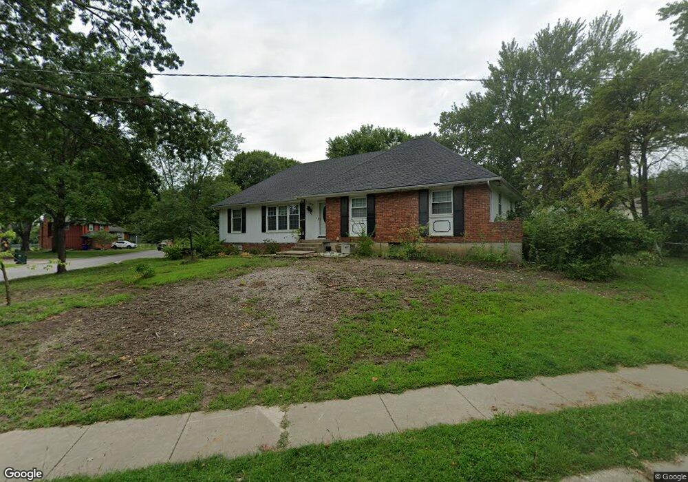
6908 E 129th St Grandview, MO 64030
Estimated Value: $256,091 - $311,000
3
Beds
2
Baths
1,836
Sq Ft
$151/Sq Ft
Est. Value
About This Home
This home is located at 6908 E 129th St, Grandview, MO 64030 and is currently estimated at $276,523, approximately $150 per square foot. 6908 E 129th St is a home located in Jackson County with nearby schools including Conn-West Elementary School, Grandview Middle, and Grandview High School.
Ownership History
Date
Name
Owned For
Owner Type
Purchase Details
Closed on
Dec 17, 2024
Sold by
Kruger Thomas E and Kruger Judith D
Bought by
Kruger Thomas E and Kruger Judith D
Current Estimated Value
Home Financials for this Owner
Home Financials are based on the most recent Mortgage that was taken out on this home.
Original Mortgage
$150,000
Outstanding Balance
$148,683
Interest Rate
6.78%
Mortgage Type
New Conventional
Estimated Equity
$127,840
Create a Home Valuation Report for This Property
The Home Valuation Report is an in-depth analysis detailing your home's value as well as a comparison with similar homes in the area
Home Values in the Area
Average Home Value in this Area
Purchase History
| Date | Buyer | Sale Price | Title Company |
|---|---|---|---|
| Kruger Thomas E | -- | Stewart Title |
Source: Public Records
Mortgage History
| Date | Status | Borrower | Loan Amount |
|---|---|---|---|
| Open | Kruger Thomas E | $150,000 |
Source: Public Records
Tax History
| Year | Tax Paid | Tax Assessment Tax Assessment Total Assessment is a certain percentage of the fair market value that is determined by local assessors to be the total taxable value of land and additions on the property. | Land | Improvement |
|---|---|---|---|---|
| 2025 | $2,600 | $33,168 | $5,641 | $27,527 |
| 2024 | $2,600 | $31,975 | $6,886 | $25,089 |
| 2023 | $2,556 | $31,975 | $6,709 | $25,266 |
| 2022 | $2,153 | $25,080 | $4,456 | $20,624 |
| 2021 | $2,151 | $25,080 | $4,456 | $20,624 |
| 2020 | $1,939 | $23,941 | $4,456 | $19,485 |
| 2019 | $1,870 | $23,941 | $4,456 | $19,485 |
| 2018 | $1,699 | $20,240 | $3,419 | $16,821 |
| 2017 | $1,699 | $20,240 | $3,419 | $16,821 |
| 2016 | $1,628 | $18,994 | $3,492 | $15,502 |
| 2014 | $1,619 | $18,622 | $3,424 | $15,198 |
Source: Public Records
Map
Nearby Homes
- 6905 E 129th St
- 12825 Winchester Ave
- 6614 E 128th St
- 12200 Craig Dr
- 12217 Bennington Ave
- 12901 Byars Rd
- 6705 E 126th St
- 12608 Craig Ave
- 12709 Applewood Dr
- 12525 Craig Ave
- 12506 Winchester Ave
- 12701 Applewood Dr
- 7505 E 130th St
- 6411 E 127th St
- 7509 E 127 St
- 7601 High Grove Rd
- 6042 E 129th St
- 6008 E 129th St
- 13213 Winchester Ave
- 13218 Craig Ave
- 6904 E 129th St
- 12824 Winchester Ave
- 12901 Winchester Ave
- 6913 E 129th St
- 12905 Winchester Ave
- 6909 E 129th St
- 12820 Winchester Ave
- 6900 E 129th St
- 12819 Cambridge Ave
- 12821 Winchester Ave
- 7007 E 129th St
- 12816 Winchester Ave
- 6901 E 129th St
- 12815 Cambridge Ave
- 12913 Winchester Ave
- 12817 Winchester Ave
- 6808 E 129th St
- 12811 Cambridge Ave
- 7011 E 129th St
- 12812 Winchester Ave
Your Personal Tour Guide
Ask me questions while you tour the home.